Jul 112020


First published in: The Times Click here to view a map for this walk in a new window
picture picture picture picture picture picture picture picture
Facebook Link:

When the weather decides to throw a wobbler on the Northumberland coast, it doesn’t do it by halves. Winds whistle, waves thump the beaches, the sea grumbles, gulls go tumbling across the sky. And when the Shiel family of Seahouses cancel their boat trips to the Farne Islands just offshore, you know that it’s going to be a vigorous sort of day.

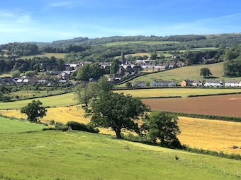
Seahouses Harbour was built to withstand anything the North Sea could throw at it – a great deep basin of solid walls that dwarf the sheltering fishing boats. Seahouses fishermen still go out after crabs and lobsters, and the piles of creels they stack along the harbourside streets bear witness to an age-old industry.

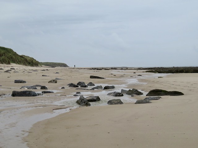
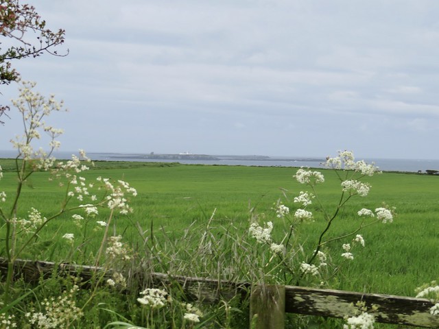
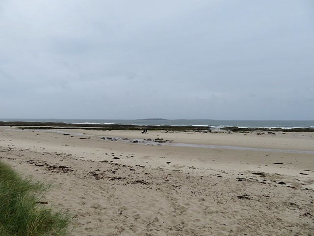
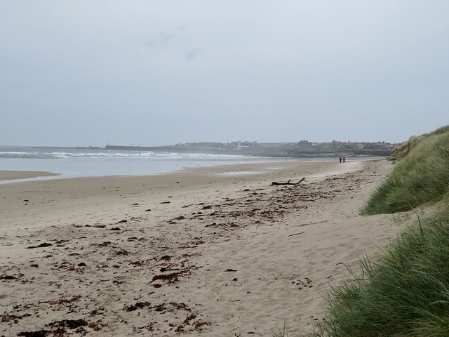
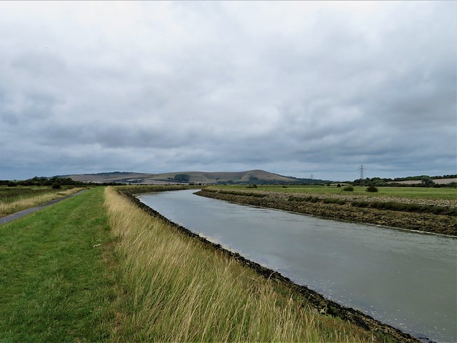
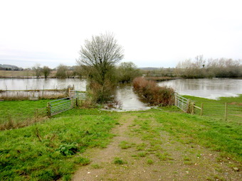
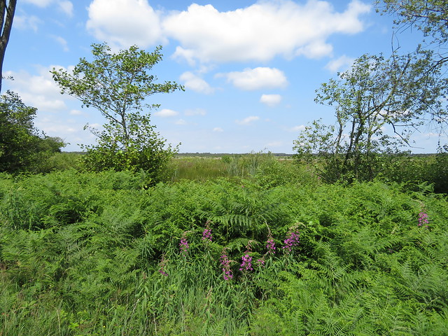
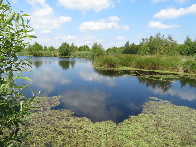
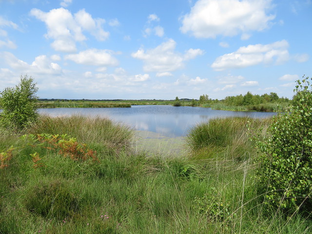
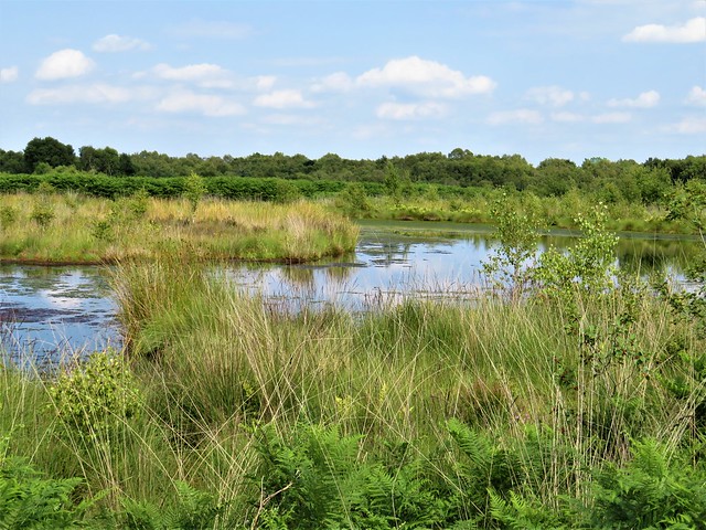
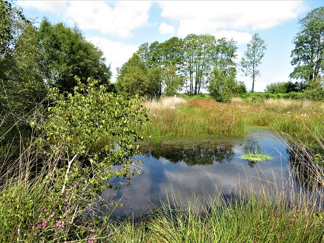
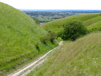
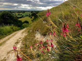
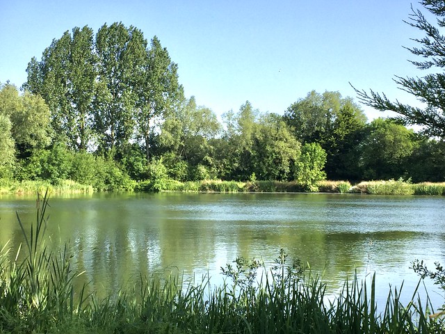
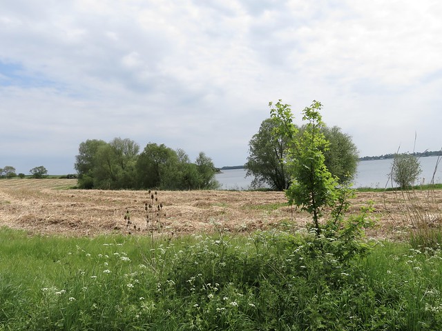
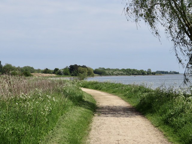
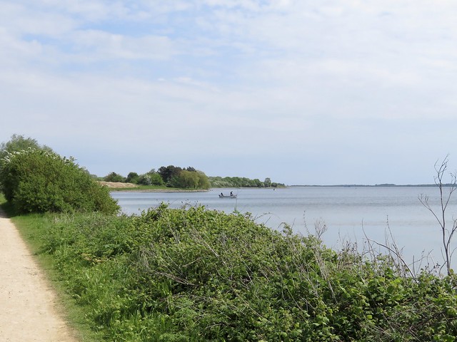
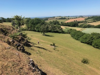
We set out into the wind along one of the most beautiful coasts on earth – if you like your beauty harsh, stripped back and elemental. Tan sands, black rock scars, orange bladder wrack, grey sea, as simple and striking as that. On one hand the dunes with their velvety nap of pale marram grass, on the other the long surfacing-submarine shapes of the Farne Islands clinging to the sea horizon.

How under heaven did St Cuthbert stick out his eight years of eremitic solitude on Inner Farne? Ancient tales tell of the demons that battled the saint, of the eider ducks – ‘cuddy’s ducks’ – that he loved and protected, and of the seals that brought him fish and sang to him. It certainly seems that only divine intervention could have sustained life in such a lonely place, windswept, storm-battered and hard as iron.

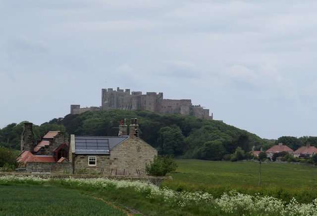
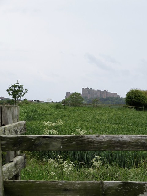
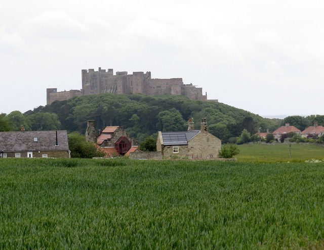
As we walked north between dunes and sea, the massive fortification of Bamburgh Castle grew steadily larger and more upstanding ahead. The castle is all walls and turrets, keep and battlements, high over everything. It radiates power and impregnability.

Some sort of stronghold has dominated land and sea from this perch on a dolerite crag overlooking the ocean for at least the past 2,000 years. Wandering through its stone chambers among suits of armour, delicate Meissen porcelain and framed photographs of the resident Armstrong family, we heard the wind booming down the chimneys and looked out over the enormous beach below where sea and sky were blown into tatters by strengthening gusts from the north.

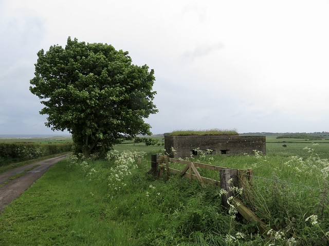
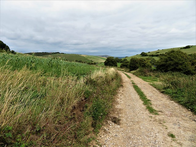
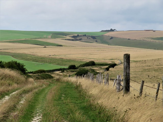
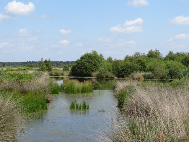
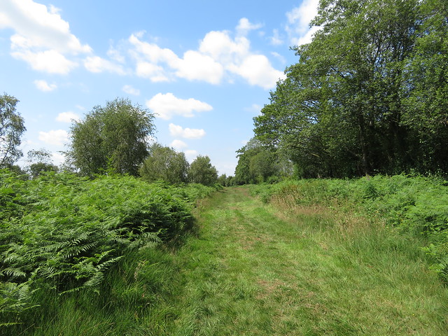
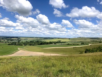
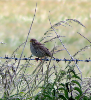
The homeward path lay along wet pastures where black cattle grazed, and through fields of young wheat where every step released a shower bath of raindrops and skylarks sang themselves high into the scudding grey sky.
Start: Seahouses town car park, Northumberland NE68 7SW approx. (OS ref NU 218320)

Getting there: Bus X18 (Beadnell-Berwick)
Road: Seahouses is on B1340, signed from A1 at various points between North Charlton and Warenford)

Walk (6¾ miles, easy, OS Explorer 340): From Seahouses harbour (220322), head north-west along the beach for 3 miles to Bamburgh. Return towards Seahouses along B1340. 200m beyond The Links car park, right over stile (186347, ‘Coast Path’). Cross fields, aiming for Redbarns (190343). Follow waymarks for St Oswald’s Way and Northumberland Coast Path/NCP. At Fowberry (192334), left along road; follow road and NCP for 1 mile to T-junction at Shoreston Hall (204326). Right; in 25m, left (stile, NCP) across fields for ⅔ mile to stile into road (210318). Right; in 150m, left on old railway path (210316, NCP) to Seahouses harbour.

Lunch: Bamburgh Castle Inn, Seahouses NE68 7SQ (01665-720283, bamburghcastlehotel.co.uk)

Accommodation: Springhill Farm, Seahouses NE68 7UR (01665-721820, springhill-farm.co.uk). Beautifully run, welcoming self-catering place.

Info: Seahouses TIC (01670-625593); visitnorthumberland.com
Bamburgh Castle: 01668-214515, bamburghcastle.com
satmap.com; ramblers.org.uk

 Posted by at 01:51
Jul 042020


First published in: The Times Click here to view a map for this walk in a new window
picture picture picture picture picture picture picture picture picture picture picture picture
Facebook Link:

A cool, windy morning over the South Downs, with the village of Rodmell dreamlike in muted colours, its flint and weather-boarded houses lining the lane down to the River Ouse.

Looking out on the lane is Monk’s House, a modest building of weatherboard and brick, bought by Leonard and Virginia Woolf in 1911 and loved by them as a country retreat for themselves and their Bloomsbury friends. Virginia composed most of her best-known novels – Mrs Dalloway, To The Lighthouse, Orlando, The Waves – in her writing lodge in the garden.

From Monk’s House we followed a stony lane across a flat floodplain of rough cattle pasture to the banks of the River Ouse. Here Virginia came on 28 March 1941, distraught at a recurrence of her mental illness, to drown herself in the river, having filled her coat pockets with heavy stones to weigh her down.

Melancholy overhangs the spot, but we felt it lift with the clouds and the landscape as we passed the church at Southease with its Saxon round tower and climbed into the higher countryside of the downs.

It’s all Bottoms around here, dry valleys that wriggle into the flanks of the chalk downs. A rushing mighty wind blew through Cricketing Bottom, where a ramshackle farm displayed a hundred and one varieties of ancient cars, buses, tractors, lorries and harvesters. Looking back from the far ridge, it was a pure Eric Ravilious scene – white chalky tracks, a twisted thorn tree, long curves of dark flinty ploughlands and green corn.

Through tiny, tucked-away Telscombe where the hedges were a-twitter with sparrows, then up and away on breezy downland tracks. Up here the lonely marble monument of Harvey’s Cross marks the spot where John Harvey of Bedfordshire was killed in a fall from his horse on a June day in 1819.

A kestrel went flapping over a cornfield, struggling to rise against the wind and the weight of the prey it had pounced on. At last the raptor let go its prize – a partridge poult, one of a trio that had been scuttering along the South Downs Way ahead of us. We stepped out the last blustery mile, under a blue sky scoured of clouds, to Mill Hill and the sloping lane to Rodmell.

Start: Abergavenny Arms, Newhaven Rd, Rodmell, BN7 3EZ (OS ref TQ 418060)

Getting there: Southease station (500m from walk); Bus 123 (Newhaven-Lewes)
Road – Rodmell is signed off A27 at Lewes

Walk (10½ miles, easy, OS Explorer OL11): Left down lane (‘Monk’s House’). Beyond Monk’s House (421063), follow stony lane to River Ouse (432068). Right to Southease Bridge (427053). NB For Southease railway station, left across bridge. To continue walk: Right from Southease bridge past Southease Church to road (422053). Right (‘South Downs Way’/SDW); in 50m, cross road (take care!); up Gorham’s Lane. Immediately right through gate; follow SDW. At foot of slope, left (421055, SDW). In ⅔ mile SDW turns right(413049), but keep ahead past farm. In ⅔ dogleg left/right across Cricketing Bottom (407042); up slope to road (406038); right through Telscombe. Where road ends at cattle grid, right on track (403031, ‘St Michael’s Landour’). At cattle grid by fancy gate posts, right (399033); in 50m, through gate and on. In 1½ miles, pass Harvey’s Cross monument (386052); in 200m fork right for 1¼ miles to SDW (391067). Right for 1½ miles to Mill Hill (413053); left (‘To the Pub’) to Rodmell.

Picnic: Above Cricketing Bottom.

Monk’s House: 01273-474760, nationaltrust.org.uk (phone for opening update)

Info: Lewes TIC (01273-483448), satmap.com; ramblers.org.uk

 Posted by at 01:21
Jun 302020


… is not only a lovely William Blake poem, and a tremendous novel by Glyn Hughes, but a phrase that takes me straight back to my childhood playground, the flat green floodplain of the River Severn. Jane and I went walking there yesterday, a day of high blustery wind and tremendous rolling cloud in a blue sky. We set off from the Red Lion at Wainlode Hill between Gloucester and Tewkesbury, a big old red-brick riverside pub on a bend of the Severn where the river surges had sculpted out a tall cliff.

Some brilliant faces here:
https://www.redlionwainlode.co.uk/pub-history/

The landlord once told me that he remembered as a young boy going into the cellar there and being absolutely dumbstruck at seeing the floor covered in shining silver. It was a mass of salmon, caught in the Severn and stored in the old pub before being sold.


My chum Roo and I used to fish and fool around on the beach under the tall cliff hollowed out by the surging of the river round the bend. How we didn’t drown ourselves I can’t imagine – it’s a very dangerous spot, full of backwaters and eddies and submerged trees washed down by the very strong current. We didn’t see the hazards back then, of course.

A couple of miles north through the meadows by the Severn, some freshly cut, others thick with tall grasses. A hop over a hummock of hill at Apperley, and we were wandering the paths of Coombe Hill Meadows Nature Reserve, with the long smooth line of the Cotswolds along the eastern skyline and the Malvern Hills standing out like a miniature mountain range in the west. All here is flat, lush, squelchy and packed with life. Swallows, swifts and martins zoomed about like fighter pilots over the meadows and pools, chasing down insects. The old canal that once linked the Severn with the Midlands, long abandoned, was lined with meadowsweet and tufty rockets of intensely purple loosestrife. Dragonflies hovered. The day was too wild and windy to see the hobbies and peregrines that hunt the reserve, but there was a sort of brisk pleasure in facing the wind as it teased the reed heads and thrashed the willow leaves till they whitened and turned inside out.

I’m so thankful to have been a child in the 1950s, when one was expected to be out of doors and away over the fields all day, ranging widely and getting into a lot of mischief. Roo and I knew our particular portion of these soggy lands as the Big Meadow. They were flooded most winters, mile after mile of King Severn’s invasions, and in fact they still are. We were chased up a tree, stark naked, by cattle after swimming in the canal. We chucked stones at ‘water rats’ (i.e. water voles), we broke down fences, we shared stolen ciggies and rude words, and once we beat up an old bus that we found parked in the bushes. Mea culpa, mea maxima culpa! All we wanted was to have rowdy outdoor fun. If we’d known that these were Lammas meadows, traditional farmed for hay and famous for their wild flowers and clouds of lapwing, snipe and geese, we wouldn’t have cared less. But I’m glad I know now, and I’m double glad to see them restored to health and richness by the Gloucestershire Wildlife Trust after decades of chemical pesticides and fertiliser had reduced them to sterile silage factories.

https://ww2.rspb.org.uk/groups/gloucestershire/places/320842/


 Posted by at 16:37
Jun 272020


First published in: The Times Click here to view a map for this walk in a new window
picture picture picture picture picture picture picture picture picture picture picture picture picture picture picture picture
Facebook Link:

‘We’ve done something quite special here,’ says Pete Bowyer, senior manager at Fenn’s Moss National Nature Reserve, with modest pride. ‘Pretty much the whole bog had been wrecked and destroyed, and we’ve gradually brought it back to life.’

If there’s one outstanding example of how conservation can work to dramatic effect, it’s here on the borders of Shropshire and Clwyd, where England and Wales rub shoulders. Fenn’s, Whixall and their neighbouring ‘mosses’ form over 2,000 acres of raised bog, a rare landscape brought into being by the growth of sphagnum mosses that trap and hold rainwater.

We set out along the NNR’s History Trail. It’s a juicy and squelchy environment, a vast cushion of carbon-absorbing sphagnum where butterflies, spiders, wetland birds and flowers throve undisturbed for 10,000 years after the last Ice Age – the mosses were too deep, sodden and dangerous for man to do more than a little wildfowling and fishing. Then in the 19th and 20th centuries came commercial drainage and peat harvesting on a massive scale.

We passed scrubby areas of irregular banks, where peat was hand-cut by local villagers – ‘Whixall Bibles,’ they called the square black slabs of peat. Further out were vast acreages of bleached grass, heather and bog cotton, golden spatters of bog asphodel, oily black bog pools where dragonflies skimmed, and big skies full of swifts and swallows. Overhead sped the intent dark crescent shapes of hobbies, slender birds of prey hunting dragonflies to munch on the wing.

We walked the Long Mile and the old railway track to Fenn Old Peat Works, a skeleton shed holding rusty old pulley wheels, conveyors and ramps, the derelict rump of destructive industry. Harebells, mulleins, heath spotted orchids and yellow loosestrife clustered here.

Back on the bog track we crossed the regrown heath of Oaf’s Orchard. Rusted wire baskets once held incendiary devices to trick wartime German raiders into dropping their bombs on the ‘useless wasteland’ of the bog.

Walking the homeward tracks across the moss it was hard to credit that this wonderful multi-coloured world of busy wildlife, buzzing and calling, was a dead black desert only forty years ago, cut and dried and abandoned. The painstaking work of professional conservationists and the volunteers that help them, the water management, the restoration of vegetation and encouragement of wildlife have combined to work a miracle in the Welsh Borders.

Start: Manor House NNR Base car park, Whixall, Salop SY13 2PD (OS ref SJ 505366)

Getting there: From Wem, follow ‘Whixall,’ then ‘NNR Base’ and brown NNR signs.

Walk (9¼ miles, level paths, OS Explorer 241): Obtain ‘History Trail’ leaflet from Manor House office or dispenser, or download at publications.naturalengland.org.uk.

From car park, down drive, right at road for 500m to Post 1 beside gate (498364); follow History Trail clockwise to Post 21(504368). Left along Long Mile green lane. In nearly 1 mile, left at post with arrows and dog notice (505382); in ½ mile, left (497381) along railway path. In 1½ miles left at Fenn’s Old Peat Works (478367), heading SE on Mosses Trail. In nearly 1 mile, right at Post 10 (487355). At Post 11 (485354), left to Llangollen Canal (485353); left to Roving Bridge junction (488352). Fork left (‘Hurleston’). In ¼ mile, left at Morris’s Bridge (493354, green arrow) on green lane. In 300m pass gate (492356); at Post 8, right (490358). At Post 6, left (496363) and retrace outward walk to Manor House.

Conditions: Can be wet and muddy.

Lunch: Picnic.

Info: Manor House NNR Base (01948-880362);
first-nature.com/waleswildlife/n-nnr-fenns-whixall.php; shropshiresgreatoutdoors.co.uk satmap.com; ramblers.org.uk

 Posted by at 02:19
Jun 232020
 

We went to walk east of our village where the landscape turns from craggy limestone hills to long downs of chalk and greensand, moulded by rain and wind into a gently rolling, green and white countryside.

Near the start we came across an all-too-familiar scene – a mile or so of pasture through which the footpath ran unmarked over neglected stiles, to pitch up at a done-up farmhouse where the right of way passed across the farmhouse garden. An unguarded electric fence blocked access to the gate leading into the garden, where all signs and waymarks had been removed, to give the impression that there was no right of way. We hollered for the owner, who first sent the dog out, then somewhat shamefacedly emerged from the house and admitted that, yes, the path did cross her garden. No apologies for the electric shock we got crossing the fence, however!

It’s been very noticeable in recent times how many rights of way have been obliterated or obscured, waymarks and signposts removed, and obstacles erected around nice country houses whose new owners have done the properties up to the nines and decided unilaterally that the rights of way they accepted when they bought the house can be quietly abolished. Poverty of resources at County Hall has led to the laying off of many of the county Footpaths Officers whose job it is to keep our wonderful and unique network of paths open by making sure that householders and landowners do toe the line about maintaining access. The Ramblers organisation do the best they can – and we walkers are the best weapon they have in the fight to preserve what amounts to an irreplaceable national treasure. Keep walking those paths, folks! Rant over!

Up on the downs the views were breathtaking, far north to the Cotswolds, far south to Salisbury Plain. John Morgan was an unfortunate felon hanged for murder on these downs in 1720, and his name lives on at Morgan’s Hill, now a nature reserve where we picnicked among pyramidal orchids, yellow rattle, scabious and blue butterflies.

From here the Wessex Ridgeway took us south through a long valley where I was thrilled to see a corn bunting on the barbed wire fence between fields where oats and beans and barley grow. A stout little bird with a streaky breast, increasingly rare as its habitat and food sources have come under pressure from modern pesticides.


The homeward path led over Oliver’s Castle hillfort, where in 13 July 1643 an army of Parliamentary soldiers was routed by Royalist cavalry, many of them pursued at a panicky gallop till they tumbled in a terrible heap of men and horses down the steep face of the downs into the cleft known now as the Bloody Ditch.


No such awful scenes on these slopes today – just marbled white butterflies, bee orchids and lesser butterfly orchids, and of course the sky-filling songs of larks.


 Posted by at 16:02
Jun 202020


First published in: The Times Click here to view a map for this walk in a new window
picture picture picture picture picture picture picture picture picture picture
Facebook Link:

The map of south-east Gloucestershire between Cirencester and Cricklade is spattered all over with blue. It looks as though a flood of biblical proportions has struck this unemphatic, low-lying countryside through which the infant Thames wriggles.

Actually it’s quarrying of sand and gravel that has formed the Cotswold Water Park. As each pit has been abandoned as worked out, underground springs have flooded it. Nature, with a little help from man, has created a patchwork of bird-haunted lakes that are wonderful to walk, binoculars in hand.

We started our walk through this remarkable landscape along the old Thames & Severn Canal, once a boldly conceived thoroughfare connecting England’s east and west coasts, now a quiet green ditch of a waterway choked with waterlilies, yellow flags and reeds.

A field path led to the Cotswold stone village of South Cerney and its Church of All Hallows, whose Romanesque south doorway writhed with carvings. In the nave, corbel heads looked calmly down, and a pair of snarling dragons guarded the inner chancel arch.

The dog roses were out in Ham Lane where a jay hopped in agitation on a bent branch, trying to spy out a blackbird’s nest and eggs concealed in the hedge below. We followed broad tracks that skirted the gravel pit lakes of the Cotswold Water Park. One quarry was still active, roaring and grinding its industrial purposes behind a screen of trees. Four Egyptian geese with eyes as black as kohl waddles across a strip of ploughland, looking for seeds or a tasty worm.

A sudden hatch of damselflies saw the meadow grasses and the pyramidal orchids at the lakeside alive with these electric blue beauties, as slim as needles. Coots were busy reinforcing their floating nests and great crested grebes sailed in pairs, diving every so often with a smooth grace that scarcely raised a ruffle on the water.

A cake and a cuppa in the shady bower at Jennie’s Kitchen teagarden, and we were on the homeward leg along a meadow path among seas of yellow rattle where meadow brown butterflies spiralled round one another, oblivious to everything except their aerial pas de deux.

Start & finish: Gateway Centre car park, Spine Road, South Cerney, Glos GL7 5TL (OS ref SU 072971)

Getting there: Bus 51 (Swindon-Cirencester). Road: Signposted off A419 between Cirencester and Cricklade.

Walk (8 miles, easy, OS Explorer 169): Left along canal path. In 1¼ miles, cross road (056977); in ¼ mile, left (052979) to South Cerney church (050973). From churchyard’s south gate, right; left at road; cross High Street (049970); follow Ham Lane. In 450m, right along railings (051966); follow public footpath across Broadway Lane (049965) and on. In 500m cross bridge (046962); left on path past lakes. In nearly 1 mile on sharp right bend, left (051953) along fencing; cross B4696 and on east (bridleway, blue/yellow arrows). In ½ mile bear right parallel to Fridays Ham Lane (058951); in ¼ mile left across lane by Jennie’s Kitchen (060946). Follow lane opposite for ¾ mile. By Wickwater Farm (069952), left; in ¼ mile right (066954, ‘Cerney Wick’ fingerpost) across fields. Left along railway path (068958, ‘South Cerney’); in 300m, right (067959, ‘Gateway Centre’) to Cerney Wick Lane (069963). Right; in 600m, left (073965, ‘South Cerney); in 100m at post, right to canal (076966); left to car park.

Lunch: Jennie’s Kitchen tearoom, Wheatley’s Barn Farm, Fridays Ham Lane (01285-860048, jennieskitchen.co.uk)

Accommodation: Lower Mill Estate, Somerford Keynes GL7 6BG (01285-869489, lowermillestate.com) – superb lakeside rental properties

Info: Gateway Centre, Cotswold Water Park (01793-752413, waterpark.org) satmap.com; ramblers.org.uk

 Posted by at 01:12
Jun 132020


First published in: The Times Click here to view a map for this walk in a new window
picture picture picture picture picture picture picture picture picture picture
Facebook Link:

Grafham Water lies large and flat in the lowlands of west Cambridgeshire. We found it hard to get a handle on this great reservoir, so low-lying in such a wide landscape, until we were out on the well-surfaced track that circumnavigates the water, peeping between the willows at the private lives of swans and great crested grebes.

The reservoir swallowed 1,500 acres and four whole farms when it was built in the 1960s to bring drinking water to Milton Keynes. The farmers’ loss was the birdwatcher’s gain. The scrub trees beside the path were loud with song this beautiful summer’s afternoon, blackcaps out-singing blackbirds, willow warblers lording it over wrens.

The track led west through clumps of germander speedwell as blue as the bowl of sky stretched over Cambridgeshire. On our left, monoculture wheat-fields of uniform green where tractors dragged sprayers with seventy-foot arms; on our right, birdsong and the rustle of water beyond a screen of shivering poplar leaves.

Fluffy seeds floated in clusters from the poplars, drifting like hanks of fine grey lambs-wool to their settling grounds along the banks. Fishermen sat stem and stern in their little bobbing boats, rods flashing in the sun as they tested skill and luck against the resident trout.

The west side of Grafham Water is managed as nature reserve by the Bedfordshire, Cambridgeshire & Northamptonshire Wildlife Trusts. What a beautiful job they have made of the orchid verges, the bird hides with their privileged platforms over reed beds and creeks, and the ancient woodlands carpeted with bluebells in spring.

‘The nightingales are in great voice,’ beamed the young warden we met. ‘I’ll be out in Littless Wood listening to them at dawn.’ Every robin and warbler chirrup we heard for the next half hour became the slow, expressive flutings of a nightingale – for a few anticipatory seconds at least. In our hearts, though, we knew it was wishful thinking.

A Bombilius bee-fly with her needle-like proboscis went hovering across the dried-up stubs of cowslips, no doubt looking for the burrow of a solitary bee to fire her eggs into. The Bombilius progeny, once hatched, eat the host larvae in a ‘live and let die’ manoeuvre.

Along the northern shore of the reservoir the wind blew a strong, refreshing blast. Hawthorn branches dipped and bowed, weighed down with blossoms so dense it looked as though a flour dredger had been shaken over them. A chiffchaff sang its early summer song: chip-chap, cheeky chap, chippy chap, a-chip-chap.

At Hill Farm we stopped to watch a pair of swans sailing downwind, their wings upheld like sails, to hiss menacingly at a dog swimming after a ball. Then we crossed the great concrete curve of the dam with its 1960s space-age valve tower, and strolled back along the south shore.

From Lagoon Hide in evening sunshine we looked out over reed beds full of bunting chatter and warbler burble, as the birds of Grafham Water bedded down for the night.

Start: Mander car park, West Perry, Grafham Water, Cambs PE28 0BX (OS ref TL 144672)

Getting there: Bus 400 from Huntingdon.
Road – A1, St Neots-Huntingdon; at Buckden, follow B661 towards Great Staughton. Drive through Perry; at far side, Grafham Water is signed on right.

Walk (9¼ miles, easy, OS Explorer 225): Walk clockwise round Grafham Water, using cycle track and waterside paths.

Lunch: Cafés at Marlow Park and Mander Park for takeaway food.

Info: Grafham Water Visitor Centre, Marlow Car Park, Grafham (01480-812154; anglianwaterparks.co.uk/grafham-water-park)
satmap.com; ramblers.org.uk

 Posted by at 01:23
Jun 112020


The woods are full of secrets, and it’s taken Lockdown to give me eyes to see them. If it hadn’t been for these remarkable times and their constraints, I don’t suppose I would ever have taken such a close look at the map, day after day, to spy out these tangled webs of purely local walks. What a delight it has been to focus in on a knoll or cleft or patchwork of fields, and realise that my own countryside is still a mystery and an enticement.

Ironmaster’s Vale runs east/west, a very twisty and narrow stream hollow that’s not quite a gorge, and not a valley either. Sunk in here among the trees are the ruins of an iron-grinding industry – arches, walls, spillways, sluices and old rotten beams thick with ferns. Limekilns and millstones, caves and quarries.

A footpath meanders through the vale, with side turnings leading off through the nettles and butterbur. The narrowest and least noticeable of these unofficial trails leads to a most remarkable quarry wall, a concave sweep of grey carboniferous limestone about 350 million years old canted at a steep angle, with a cap of buttery yellow oolitic limestone lying horizontally on top where it was deposited about 180 million years ago. A geologist’s thrill, and a questioning mind’s delight.

Two boys were dipping for crayfish in the stream. They had caught one apiece, lobster-like creatures about five inches long that scuttled round the bottom of their bucket. These white-clawed crayfish, natives of Britain, are threatened by an invasion of American signal crayfish, which are bigger and tougher. The newcomers also carry a plague to which our chaps have no resistance.

So crayfish have their worries, too.


 Posted by at 11:08
Jun 042020
 

Leaving the village early on a hot windy morning, we skirted the west end of Quarry Hill. Ash dieback disease has got a firm grip of the young trees here, and is reducing them to pale skeletons in the wood. On the far side we crossed the dry yellow pastures of Dragondown where the cattle plodded one after another towards the shade of oak trees now turned as dark as iron by this two-month drought.

In the quiet green valley of the Russet Mere stream beyond Dragondown, a private revolution is taking place. The old knockabout farmhouses, beautifully sited but long neglected, have been bought up and spruced to the nines. The former dairying pastures of poached slopes and tough grass have been transformed into wildflower meadows thick with buttercups, knapweed, clovers and silky grasses with lovely names – Yorkshire fog, cock’s foot, crested dog’s tail. Aspens in stout tree guards, rustic park fencing and carefully signed paths all point to new influences, welcome ecologically, but oddly troubling too. At what point do the economics of everyday farming fall below feasibility, obliging the old farming families to give way to well-heeled conservers of the countryside?

Food for thought as we wandered the path through these delectable meadows and up to the strange gritty outcrop called Monk’s Kitchen. From here a really wonderful view down over the track of an old railway sneaking round the foot of Quarry Hill, and out across fields and woods to a prospect opening over the distant coast and the Quantock and Exmoor hills beyond.

The path to Holdfast Farm below had been impenetrably blocked with a crop of wheat. Damn you, farmer! We pushed our way along the field margin ploughed and sown right up to the spiky hedge. Hmm, yes, old style farming ahoy!

Up on the rise beyond we stood looking down on our neighbour village with its tall grey church spire, roofs and trees – a classic English view in early summer.

In a quiet green valley beyond.


 Posted by at 17:40
May 262020
 

For ages I’d had my eye on a path that loops north from the village to reach the crest of the hills. We finally tackled the walk on Sunday, and I can’t remember a more beautiful woodland trail, up through dense woods of ash, beech and oak, in dappled sunlight all the way. What I hadn’t bargained for was the secrets hidden in the undergrowth.

Just off the narrow path, among shoulder-high grasses and wood sage (and stinging nettles, now in flower), we found a lime-kiln, essentially a beehive hut with a corbelled stone roof of ingeniously overlapping stones that hold each other in place. Still in place was the stone lintel of the doorway, the hole where the lime rocks were piled in to be burned to powder on top of a fire, and the grid and furnace chamber. We sat inside in the cool shade, speculating on the lime burners and their toxic occupation.

Further up, the narrow valley was lined with stone walls, very mossy and tumbledown. Occasionally the valley bottom widened, and it was evident we were passing through old dry mill ponds and leats of channelled water that once drove a fulling mill or a paper mill, a vibrant and busy little industry now gone and forgotten.

There was no sign of the stream itself, till we arrived at the spot where it came trickling out of the trees, sank into the stony bottom and vanished underground. From here on up to the top the stream was a chatty companion, running under little bridges and across rocky shallows. A grey wagtail came flittering down onto a stone to bob and flirt its bright yellow underparts. It teased my camera finger, always staying just out of reach behind dangling foliage and sticks, till I managed to squeeze off a shot as it pattered away out of sight.

The old milling valley, once loud with mechanical thumps and human voices, is now a quiet woodland of birdsong and insect hum. Another metamorphosis has overtaken the nearby former ‘County Asylum for Pauper Lunatics’. The hospital’s ornate red limestone buildings, designed by George Gilbert Scott, have been transformed into a beautiful housing estate. Looking down from the homeward path at the old hospital and the milling valley beyond, bathed in evening sunlight, cattle grazing the outskirts, these transformations seemed quite remarkable.


 Posted by at 13:43