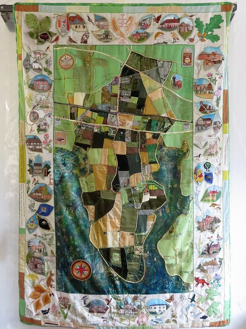
First published in: The Times Click here to view a map for this walk in a new window


Facebook Link:

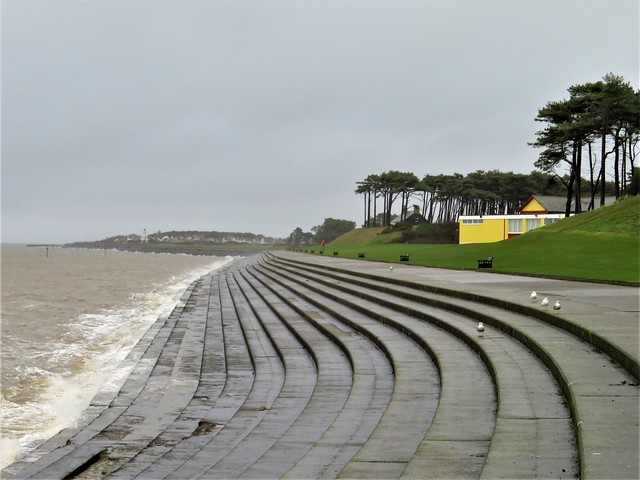
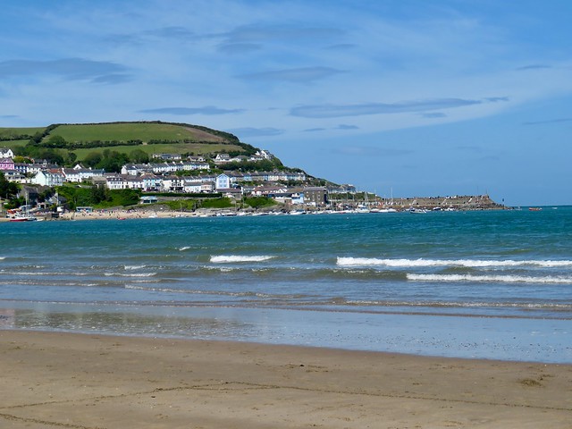
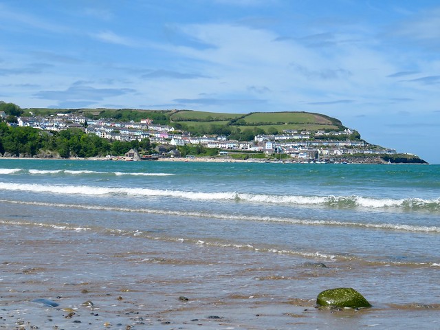
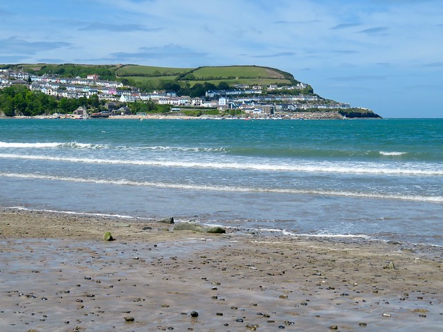
The handsome old Cumbrian coastal town of Silloth has re-invented itself a few times down the years – busy port, seaside resort, genteel retirement haven, nice quiet place to bring up young families.
Vestiges of all those incarnations were on display as we set out along the promenade – big boxy silos around the still-working port area, a Victorian pagoda-style pavilion perched high for the view across the Solway Firth to the Scottish mountains, and people out for exercise pushing into the strong sea breeze with hair and scarves a-stream.
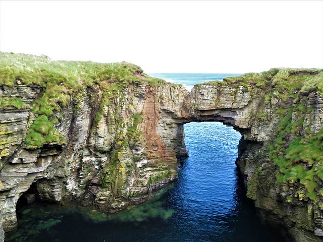
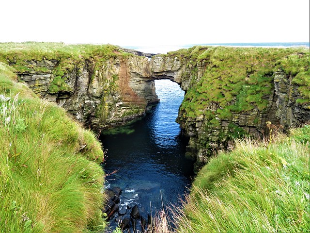
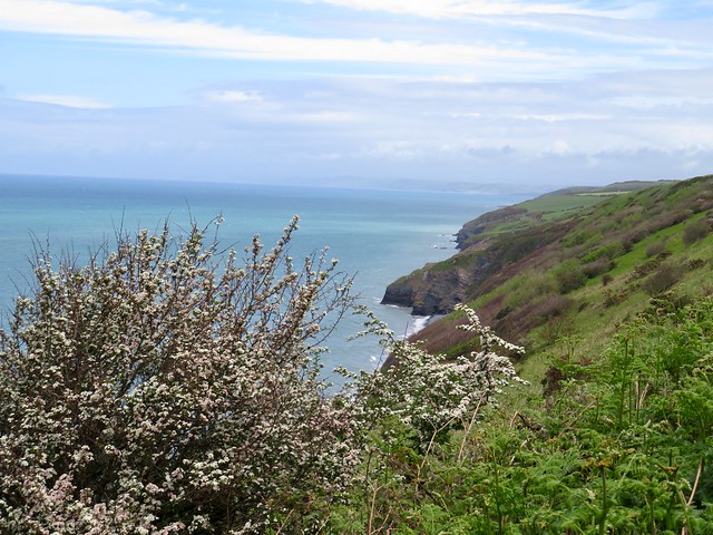
The Solway shore was a bracing, blusterous place to be walking today. Too much rain and wind in the forecast for the Lake District mountains, we’d felt, but this was perfect for a thorough blow-through. Across the firth the low-lying hills of Dumfriesshire gleamed as though oiled and burnished by short-lived sun splashes, then dulled under sweeping rainclouds.
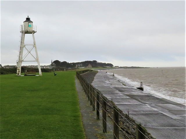
The wind moaned and drummed in the cast-iron bracing of Cote lighthouse, causing the tall white skeleton shape on the shore to tremble like a frightened giraffe. Gulls blew overhead. A squadron of oystercatchers went by on downcurved wings like little fighter planes, making their characteristic sharp pic! pic! calls.
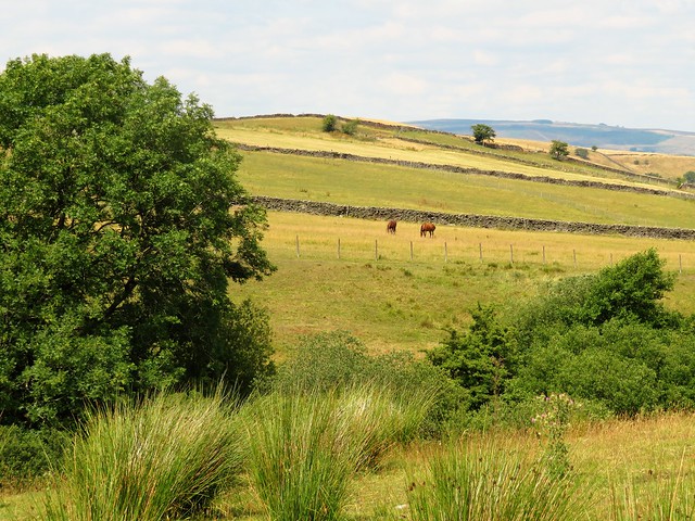
At Skinburness a row of houses faced the sea behind a protective barrier of rough-hewn rock. It must be wonderfully exhilarating to live here on such a day, and frightening too, as you watch the hungry sea in the knowledge that its levels are rising year by year.
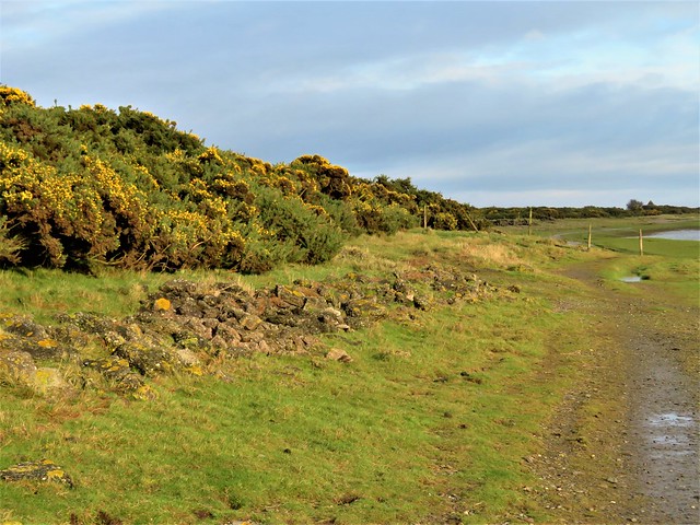
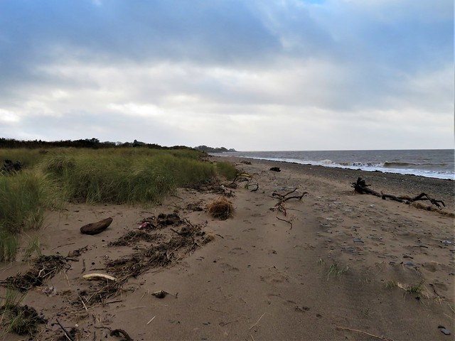
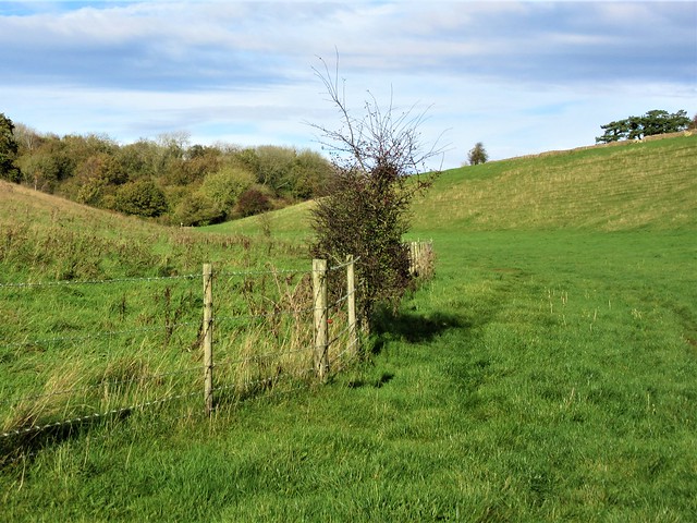
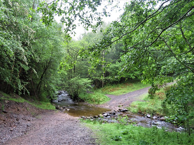
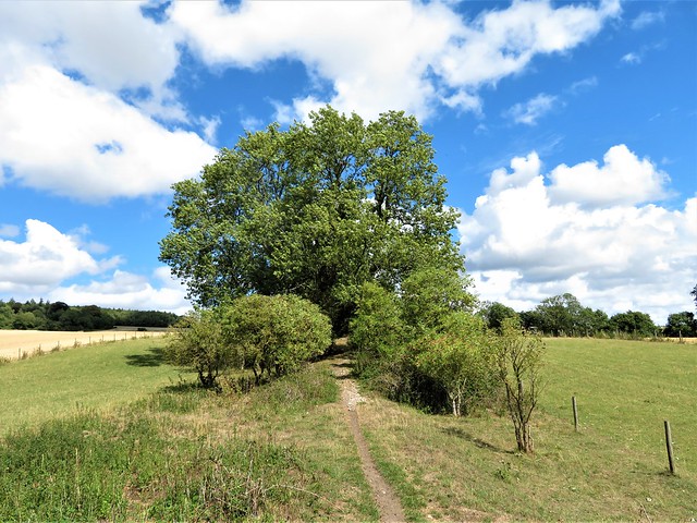
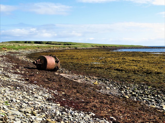
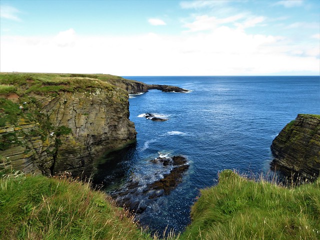
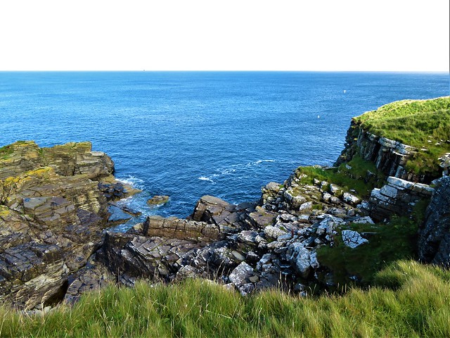
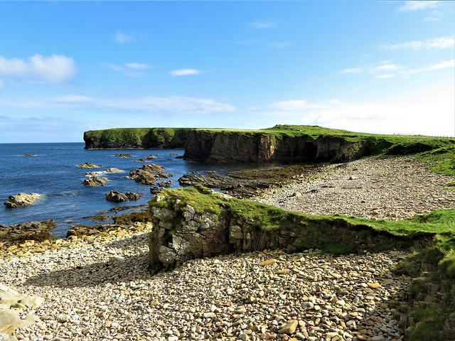
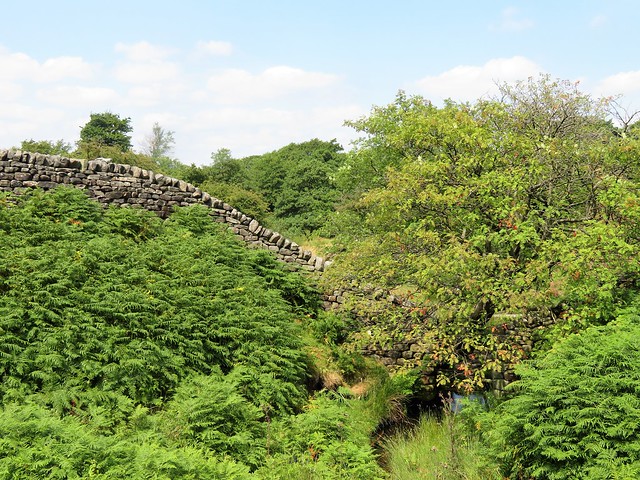
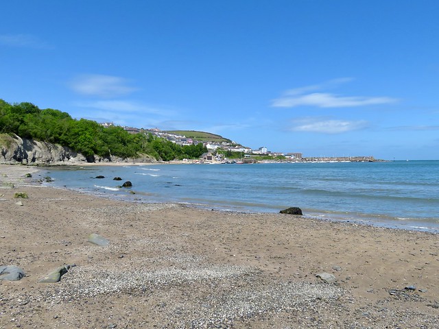
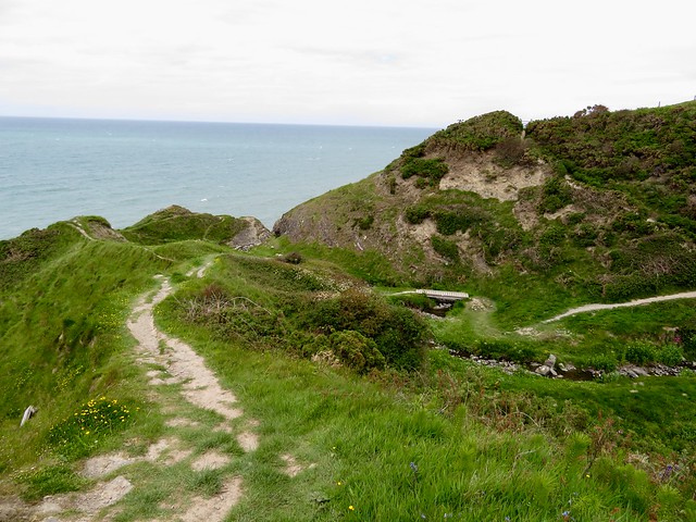
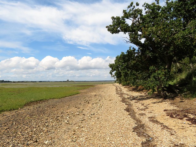
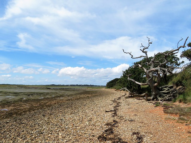
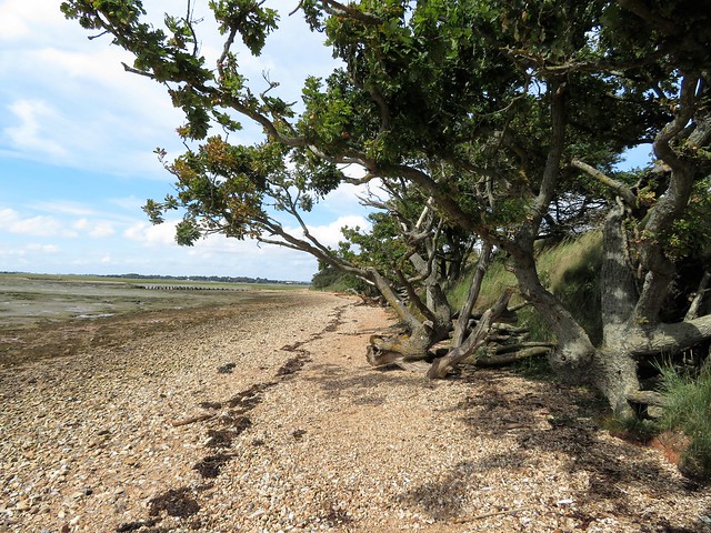
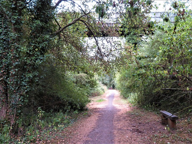
Beyond Skinburness the houses fell away along with the concrete steps of the promenade. Now the path followed a shore of multicoloured pebbles of sandstone and quartz with little scatterings of coarse-grained, dark pink sand. An oak leaf, blackened and weightless, raced us along the beach, pattering and bouncing across the sand, drawing gradually away until the wind flicked it head over heels into the waves.
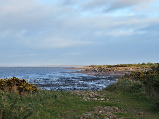
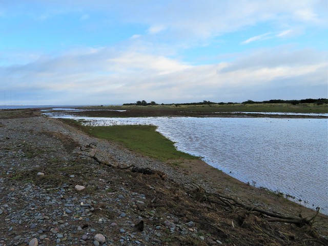
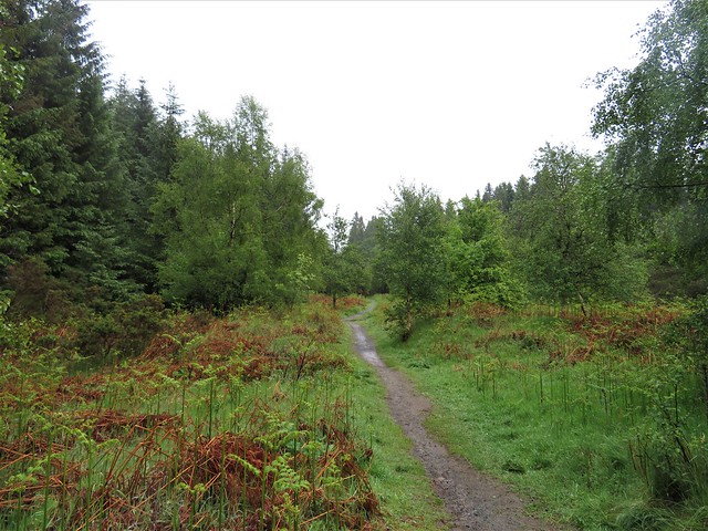
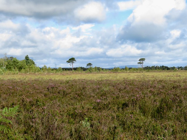
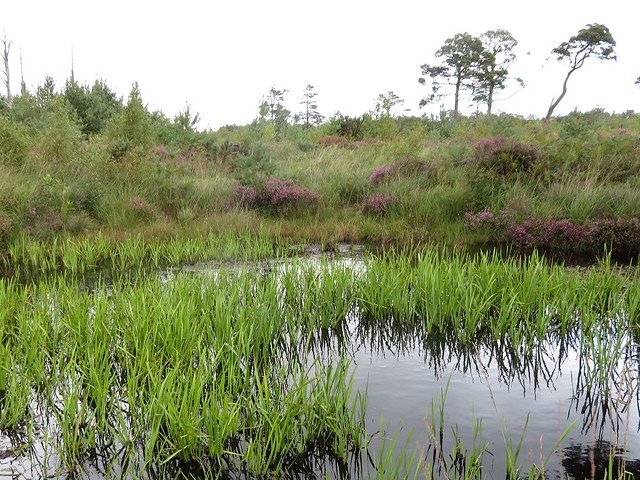
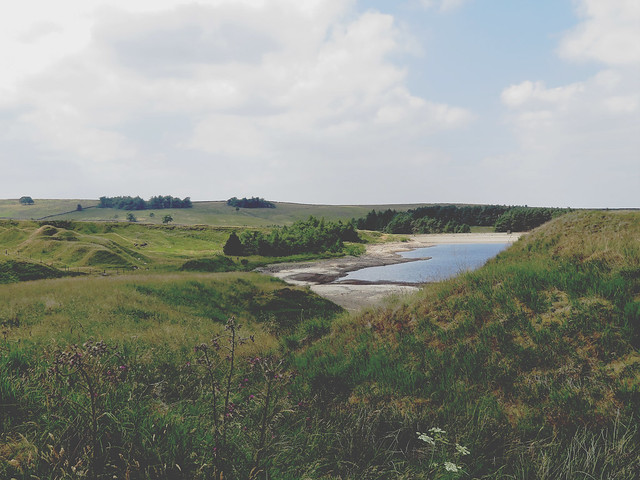
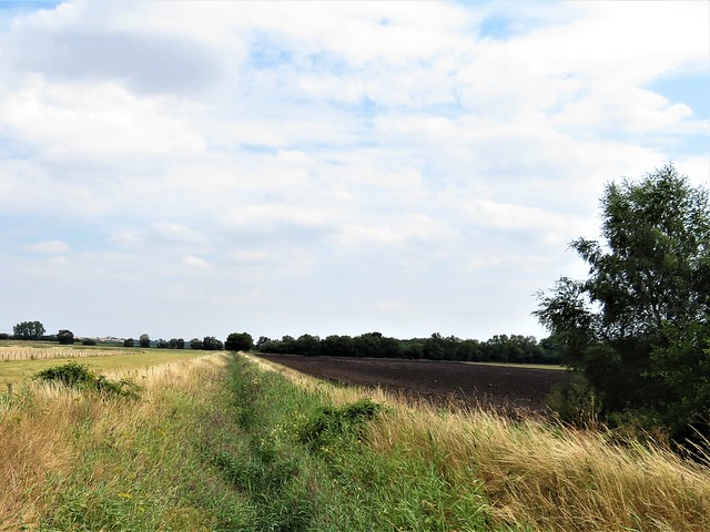
Out at Grune Point, turnstones pattered busily on the tideline. A spread of brackish marsh pools showed where the sea was encroaching on the heathy terrain of the peninsula.
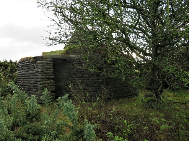
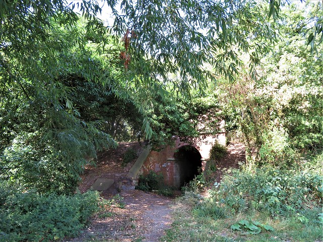
A circular pillbox lay among gorse bushes, its walls built of concrete sandbags, topped by a pyramidal seamark of stone. Inside a central pillar held up the roof, like some Neolithic tomb abandoned and forgotten. Built during the Second World War to ward off the German invasion that never came, the pillbox gloried in a most exalted title – the ‘Cumberland Machine-Gun and Anti-Tank Rifle Emplacement’.
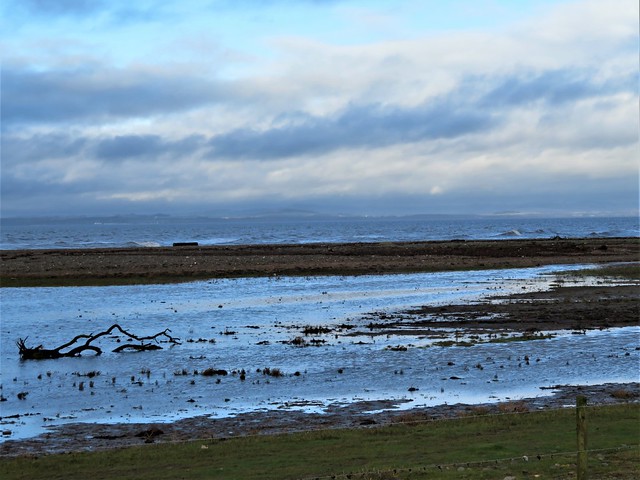
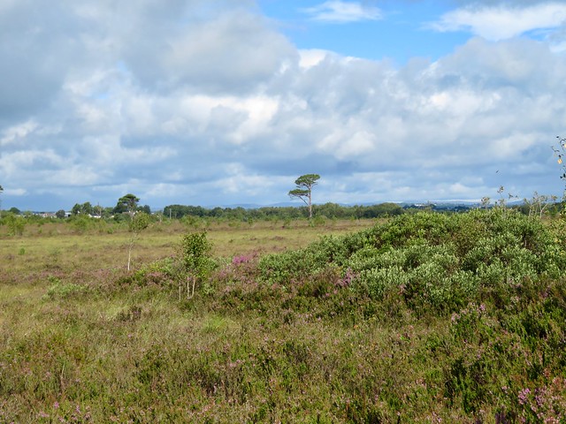
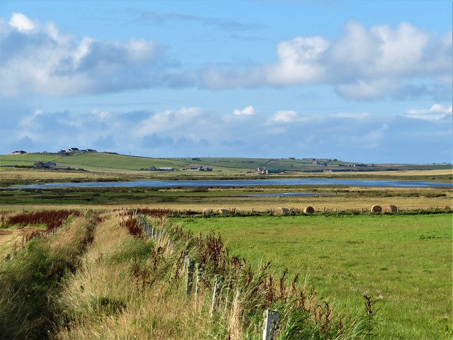
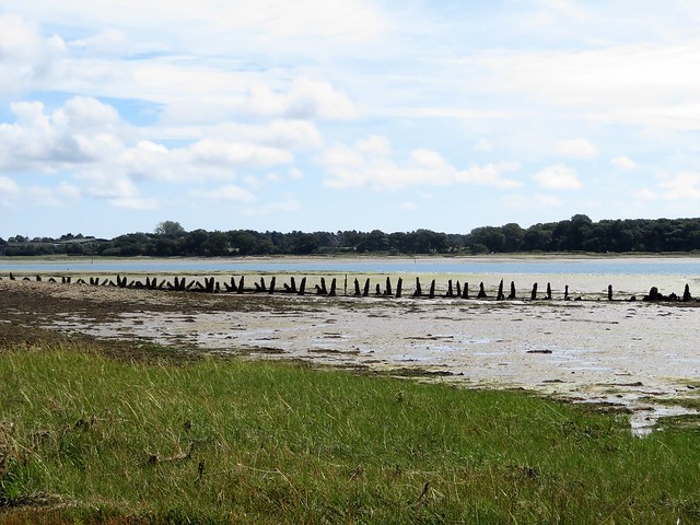
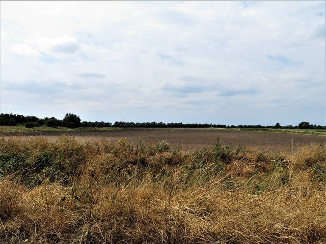
We turned for home along the wide channel of Skinburness Creek, whose waters were already ebbing seaward. From the rain-darkened prairie of Skinburness marsh across the creek came curlew bubbles, wigeon whistles and the excited piping of many waders as the receding tide uncovered the mud flats once more, a well-stocked larder for all these wintering birds.
Start: Sea View car park, Silloth, Cumbria CA7 4AW (OS ref NY 106537)
Getting there:
Bus 400 from Carlisle; 60E (Skinburness-Maryport)
Road – from Carlisle, A595, A596 to Wigton; B5302 to Silloth
Walk (7¼ miles, easy, OS Explorer 314): Follow Promenade, then sea wall path north-east for 3½ miles to Grune Point (144569). Clockwise round tip of peninsula; follow path/track back along south side. At first houses of Skinburnessbank, right (129560, fingerpost) up green lane to north side of peninsula; turn left for 2¼ miles back to Silloth.
Lunch: Fairydust Emporium, Eden Street, Silloth (01697-331787, facebook.com/fairydusthq) – truly delightful café/restaurant
Accommodation: Golf Hotel, 4 Criffel Street, Silloth CQ7 4AB (01697-331438, golfhotelsilloth.co.uk)
Info: Silloth TIC, Solway Discovery Centre, Liddle Street CA7 4DD (01697-331944), golakes.co.uk; satmap.com; ramblers.org.uk


;)
;)
;)
;)