Apr 272019


First published in: The Times Click here to view a map for this walk in a new window
picture picture picture picture picture picture picture picture picture picture picture
Facebook Link:

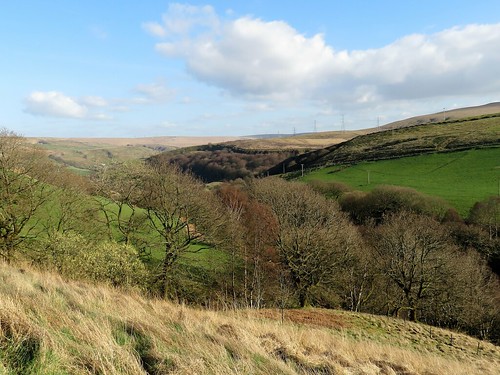
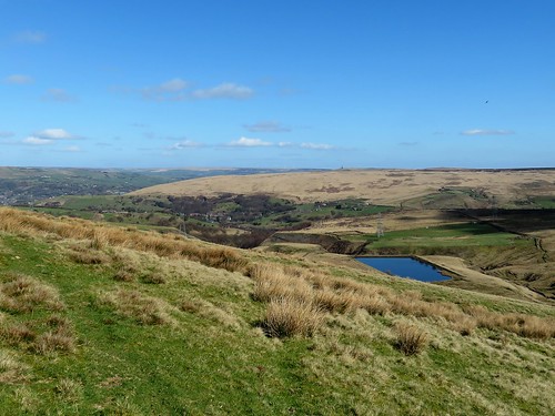
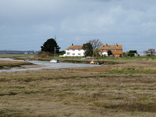
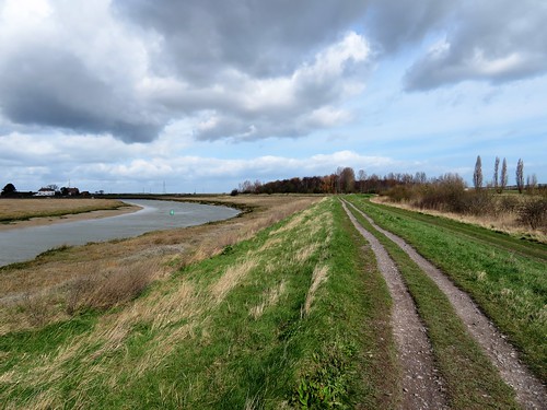
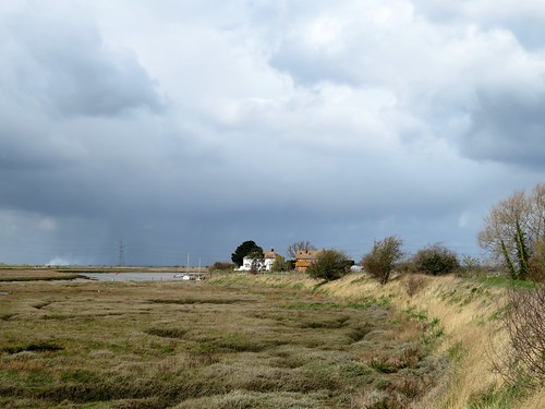
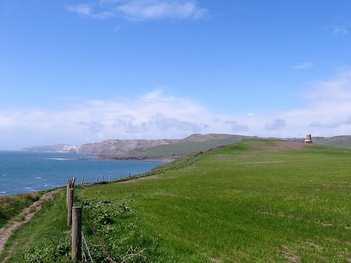
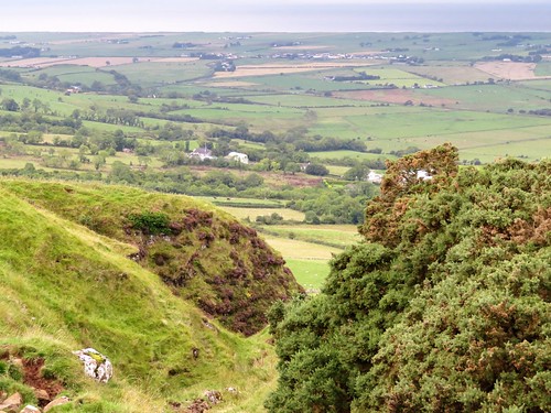
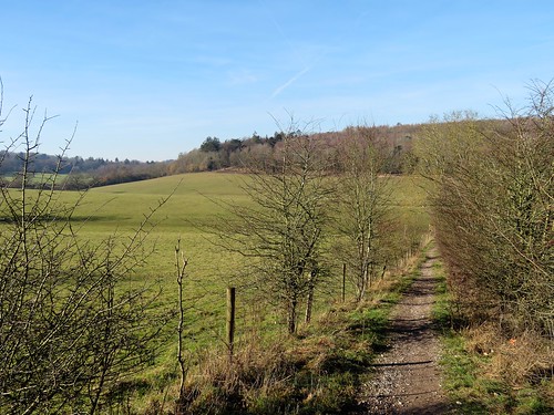
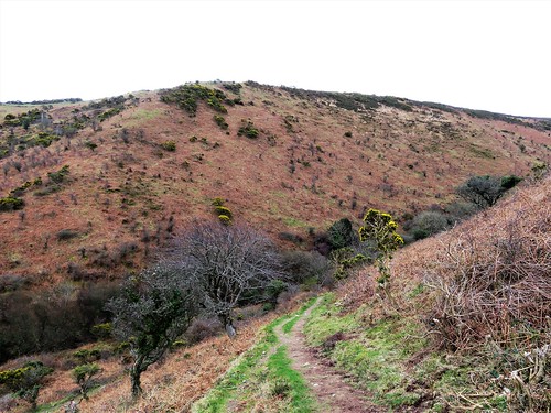
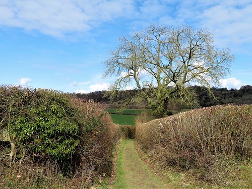
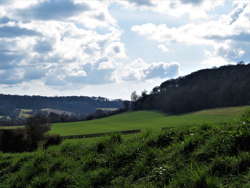
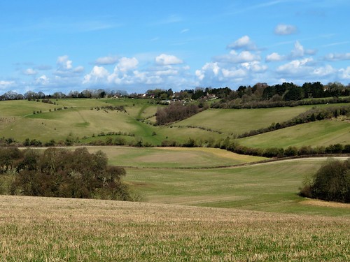
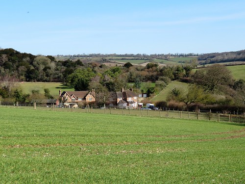
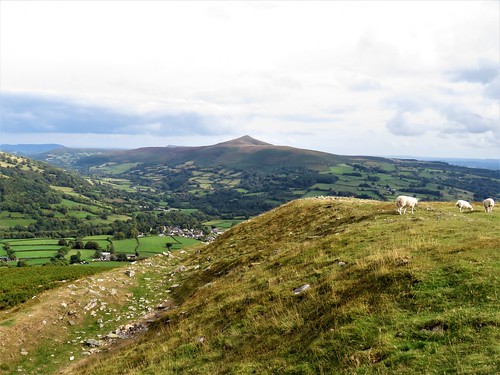
Walsden lies in a hollow of the hills in bleak moorland country where Yorkshire meets Lancashire. Strong sunlight and a cold wind greeted us as we climbed the stony trod of Long Causeway. Below, swathes of blanket bog cradled the reservoir of Cranberry Dam in cushions of pale brown velvet.

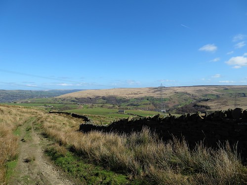
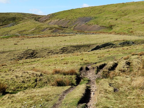
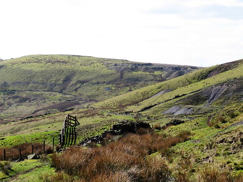
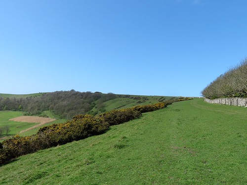
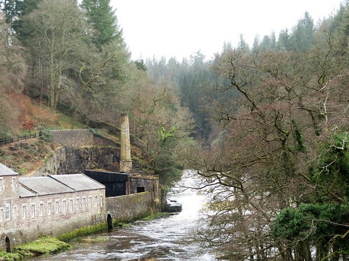
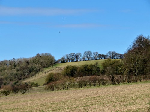
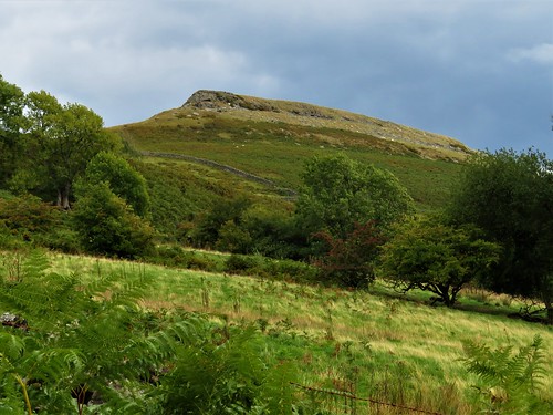
For all its upland wildness, this is a landscape of industrial endeavour, past and present. Sheer-sided scoops in the sides of the steep little cloughs or stream valleys showed evidence of lead and coal mining. Pylons like skeleton trees strode across the country. And high on Noon Hill and Ramsden Hill, tall white wind turbines lazily turned their three-blades apiece with a gentle, greasy whine and whoosh.

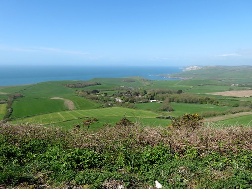
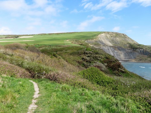
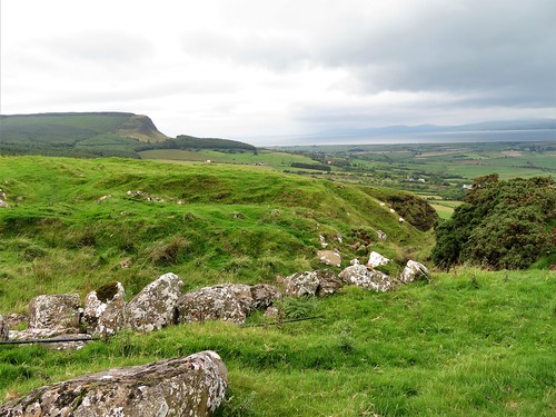
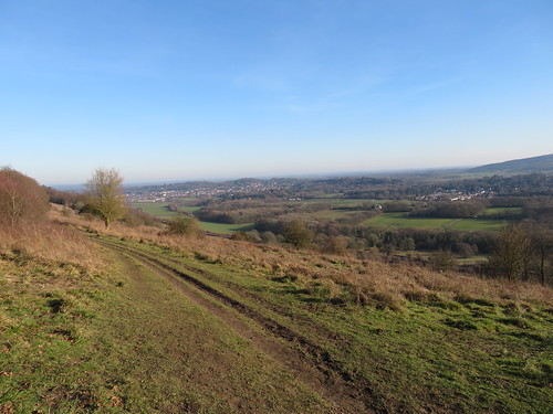
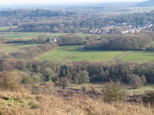
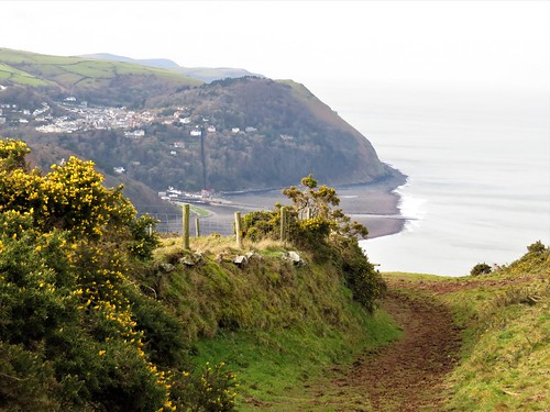
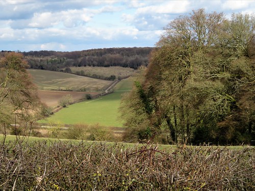
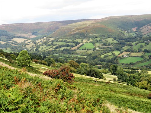
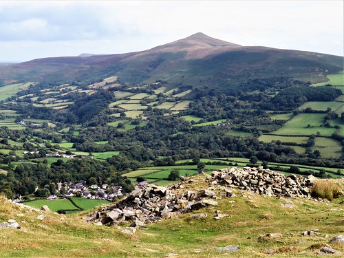
Among these ghostly giants we found an old track that rose past the gritty spoil banks of long-gone lead mines in the flanks of Rough Hill. Far in the south, beyond the million diamond sparkles of Watergrove Reservoir, the towers and factory chimneys of Manchester lay hazed with distance.

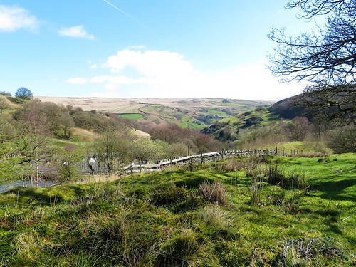
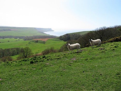
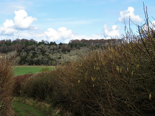
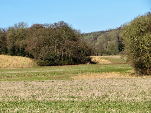
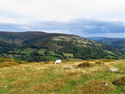
A confusion of ill-marked paths had us scratching our heads at the junction with the Rossendale Way, but soon we were heading north over squelchy black peat, through sedgy fields where sheep grazed. A pair of baths, complete with shiny chrome taps, stood beside the fence half-full of scummy green water, waiting for a walker too hot and sweaty to resist their allure.

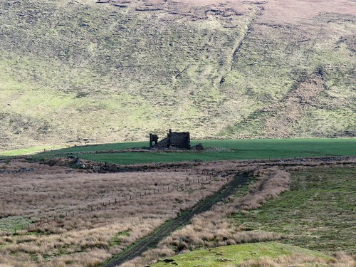
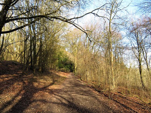
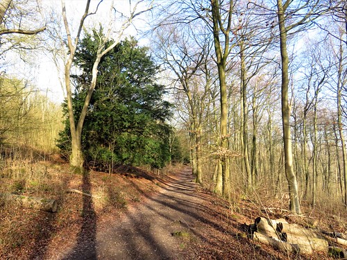
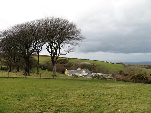
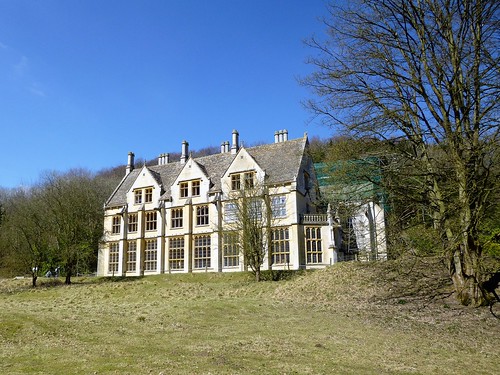
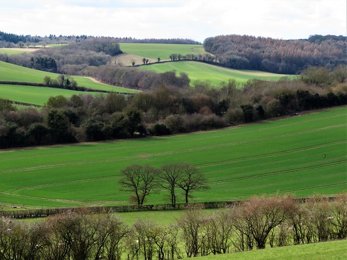
On the heights of Trough Edge End the broad walled track of the Rossendale Way met the old trodden track now styled the Todmorden Centenary Way. It dropped down a bank among mine ridges to the ruin of Coolam Farm, and followed the old road past Pot Oven, once a beer-house for travellers in these lonely wastes. ‘Deaf old Sam’ Jackson, farmer, fustian weaver and tenant here in 1784, raised ten children with his wife Martha Woodhead. Foulclough Mine opened in the 1790s, and Sam and Martha’s sons became colliers and left the fustian trade forever.

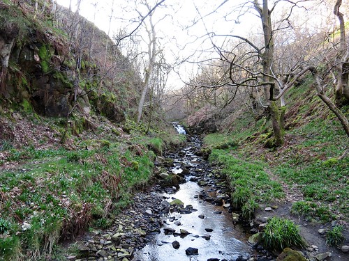
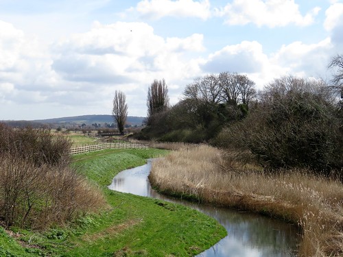
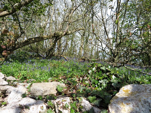
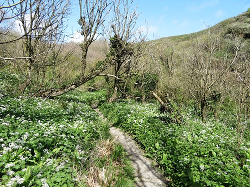
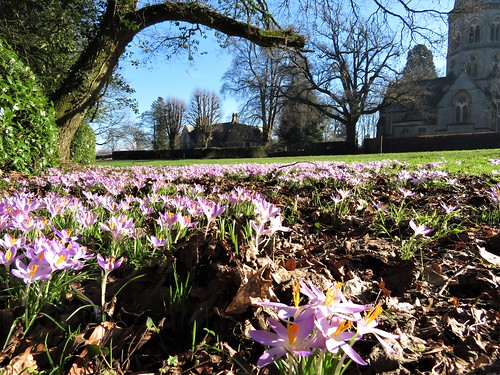
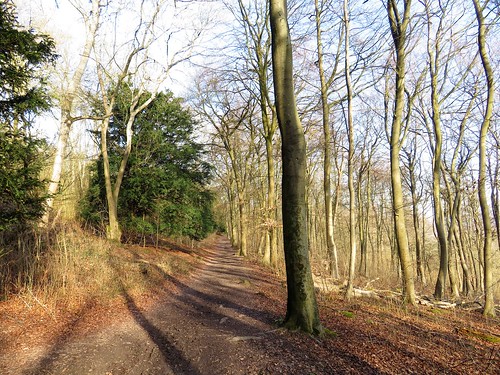
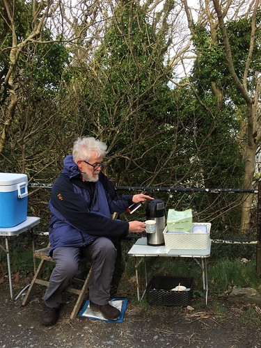
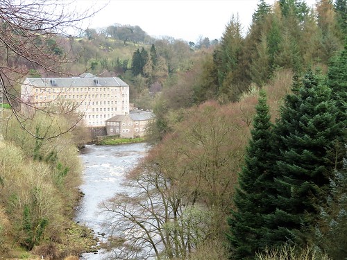
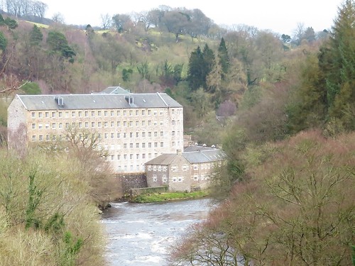
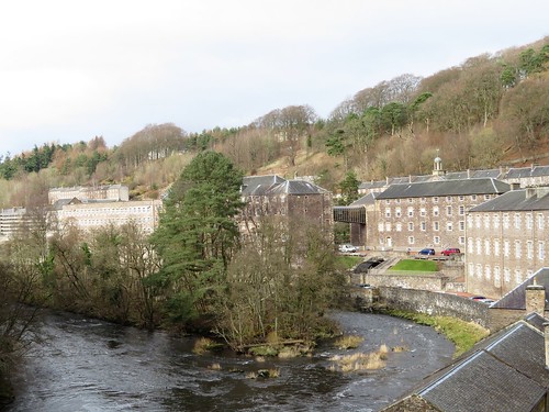
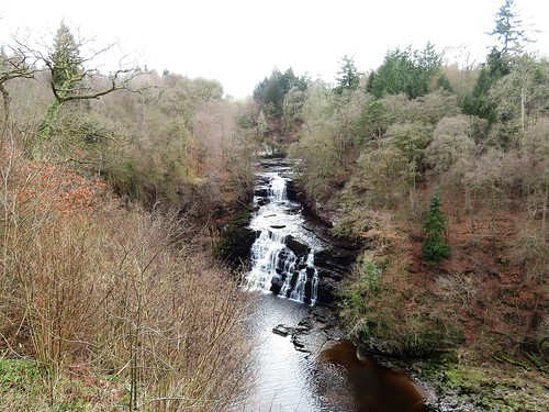
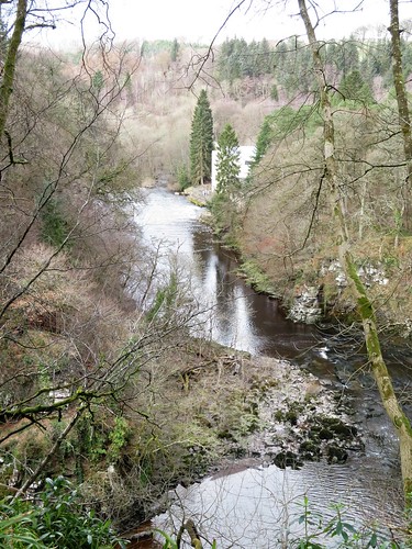
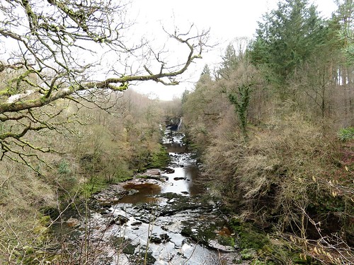
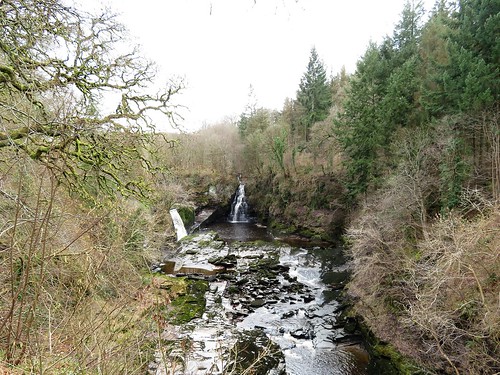
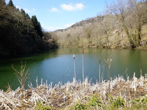
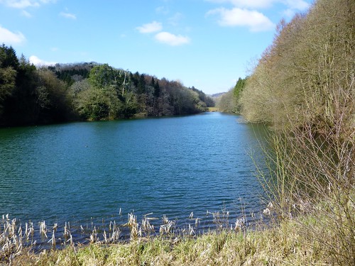
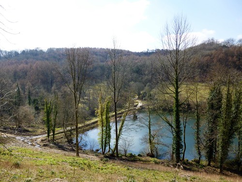
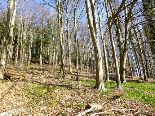
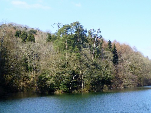
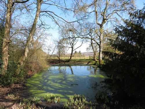
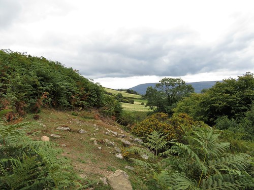
A final descent into Ramsden Wood’s narrow clough, and a teetering path through bluebell woods high above waterfalls and cascades, back to the lake where stolid fishermen with twenty-foot roach poles were patiently sitting the evening out.

Start: Ramsden Wood fishing lake, Ramsden Lane, Walsden, W. Yorks OL14 7UN approx (OS ref SD 928213).

Getting there: Bus 589, 590 (Todmorden – Rochdale)
Road – A6033 (Todmorden – Littleborough) to Walsden; Ramsden Wood Road (next to Border Rose Inn); in 600m, left up Ramsden Lane to car park. Also parking in Ramsden Wood Road.

Walk (6 miles, moderate, OS Explorer OL21): On up lane. At Plantation Barn fork left (924213) over cattle grid. In 200m, right through gate (‘Long Causeway’). In 1 mile cross wind turbine service roadway (918199); in 200m, right at marker stone on moor track. In 400m, left across stream spring (914200, yellow arrow/YA). Track rises through mine heaps. 100m beyond last heap, fork left on rutted track (910201). In 200m wall comes in on left; follow it for 600m to turn right along gravel road (903198).

In 200m, at post with red reflectors, left (904199); turn left to follow enclosure fence, keeping it on your right. At northwest corner, keep ahead on track over Hades Hill. In 450m through gate (906203); left along fence; in 300m, left (904207, stile) across field to ladder stile (903206). Don’t cross it, but turn right/north with wall on left, on Rossendale Way. In nearly 1 mile right (901221) along Todmorden Centenary Way/TC.

In 350m, cross stile (904218); left along fence to trig pillar (906219). Half right on path down hillside towards Coolam Farm ruin. Near ruin, left through gate (911215, TC); follow rocky lane downhill. In 200m left along walled lane (913215, TC). In ⅔ mile, pass Pot Oven (920219); in another 200m, right (922220, TC) across farmyard. On down green lane. 50m before it turns left across Ragby Bridge, left through gate (923216, YA), on path (see below) above river to car park. Alternative: follow TC up past Inchfield to meet outward route (923212); left to car park.

Conditions: Rough moor paths. Riverside path to car park – steep drops, narrow path.

Lunch: Border Rose Inn, Walsden OL14 7UA (01706-812142)

Accommodation: Moorcock Inn, Halifax Road, Blackstone Edge, Littleborough OL15 0LD (01706-378156, themoorcockinn.co.uk)

Info: Hebden Bridge TIC (01422-843831)
satmap.com; ramblers.org.uk

Ships of Heaven – The Private Life of Britain’s Cathedrals by Christopher Somerville (Transworld) was published on 11 April

 Posted by at 02:54
Apr 202019


First published in: The Times Click here to view a map for this walk in a new window
picture picture picture picture picture picture picture picture picture picture picture picture picture picture picture picture picture picture picture
Facebook Link:

The dead flat North Kent coast is a psychogeographical kind of a place. It has little in the way of chocolate box appeal, but is packed with wildlife, rumbustious local history and quirky corners.

Wandering down Preston Road in Faversham on a nippy spring morning, it seemed a place that Charles Dickens would recognise with its Assembly Rooms, weather-boarded shops (‘Baldy the Butcher’) with jutting upper storeys, curly Dutch gables and ornamental clock brackets over the pavements.

A handsome wooden-legged Guildhall straddled the Market Place. Half-timbered medieval houses along Court Street led down to the quays on Faversham Creek. Oyster smacks, sailing barges, a yacht hoisted in a sling while a whistling man in blue overalls scrubbed her bottom clean after the long mucky winter.

Black headed gulls already in chocolate summer hoods screeched like urchins on the muddy banks of Faversham Creek. It was this winding tidal inlet that brought prosperity to the town in Tudor times. Cherries, corn, bricks and beer went out to the Thames on flat-bottomed barges, thence to London and the continent, while exotic items such as French wine and Scandinavian softwood made their way inland via Faversham.

The Saxon Shore Way led us along the creek, then across the sticky, fertile beanfields of Nagden and Graveney Marshes. Big clouds pushed eastwards, a rain shower came and went, and skylarks uplifted body and voice over the fields. There was a sense of space, freedom and one’s own smallness.

A picture of a marsh harrier hung on a fence. ‘I live here,’ it proclaimed, ‘but how much longer?’ A solar park the size of Faversham is planned to cover these marshes. Meanwhile, birdwatchers and walkers savour the solitude.

At the concrete bar of the sea wall, a revelation – a ten-mile view opening over cockleshell beaches, the Isle of Sheppey opposite, Whitstable on its shallow hill to the east, and a scattered mass of birds harvesting the muddy shores of the Swale, a silver-blue backwater of the distant Thames.

Skylarks rose singing against silver and grey clouds inland, while from the tideline came the chuckling bark and bubble of brent geese feeding.

We turned eastward and followed the sea wall past brightly painted shore shacks and the blackened stakes of old oyster beds, ranks of wooden groynes and scampering dogs, all the way to the tall boarded shapes of the fishermen’s huts by Whitstable harbour.

Start: Faversham railway station, Kent, ME13 8EB (OS ref TR 016609)

Getting there: Rail to Faversham. Bus 3 (Canterbury-Sittingbourne). Road – M2, Jct 6

Walk (9 miles, easy, OS Explorers 149, 150): From north side of station, walk down Preston Road. Left along Market Street, right down Market Place and Court Street. Left by Anchor Inn (019619); right along quay. Follow Saxon Shore Way/SSW for 1¾ miles. Just past Nagden cottages, SSW turns left (031632), but keep ahead here (‘public footpath’, yellow arrow/YA). In 600m, right (031638, YA) under power lines on field path across Nagden Marshes. In 450m, left (035640, YA); in 500m, right along seawall (034645) to Sportsman Inn (062647). Continue along shore path for 5¼ miles past Seasalter to Whitstable Harbour (109670). Right down Cromwell Road; in 600m, left (111664) along Railway Avenue to Whitstable station. Return to Faversham by train.

Conditions: Path can be muddy and wet in places

Lunch: SportsmAn Inn, Faversham Rd, Seasalter CT5 4BP (01227-273370, thesportsmanseasalter.co.uk)

Accommodation: Swan Quay Inn, Conduit St, Faversham ME13 7DF (07538-106465, swanquayinn.com)

Info: Faversham TIC (01795-534542)

Wales Coast Path Walking Festival, 4-19 May – ramblers.org.uk/go-walking/wales-coast-path

satmap.com; ramblers.org.uk

 Posted by at 02:41
Apr 132019


First published in: The Times Click here to view a map for this walk in a new window
picture picture picture picture picture picture picture picture picture picture picture picture picture picture picture picture
Facebook Link:

A brisk windy day across the Isle of Purbeck. From high-perched Kingston we looked north across the valley to a gap in the long ridge of the Purbeck Hills, neatly plugged by the ruins of Corfe Castle. It seemed against the laws of gravity that such tall slender fragments of wall would not have tumbled long ago.

We followed the road west out of Kingston between neat grey stone cottages. Guns thudded from the military ranges beyond the downs, as though a sulky giant were banging a lambeg drum. Larks sang over stony plough and spring wheat. Bluebells and wild garlic contended for mastery of the woods, a springtime splash of blue and white.

We followed a track up through pastures of fat lambs. Walls of thinly sliced stone curled away to reach the tumulus on Swyre Head, highest eminence of Purbeck. Here was a viewing point over downs, farmlands and a dramatic coast of crumbling chalk and freestone cliffs running westward to where the Isle of Portland, Thomas Hardy’s ‘Gibraltar of Wessex’, stretched its low wedge shape into the sea.

The path bent inland along a ridge of grass polished to a shimmer by the sun. The strong sea wind hissed in the gorse bushes, bringing scents of coconut. A trail of smoke arose from the trees around Kimmeridge, and when we got down there it was to find the cottages of the old quarrying village now primped to a sheen of perfection.

We passed the immaculate new Museum of Jurassic Marine Life and followed the road round the knoll of Metherhills to the shores of Kimmeridge Bay. These tilted strata of dark shale yield a harvest of oil, sucked up from nearly a mile underground by a nodding donkey pump on the cliffs.

We sniffed the metallic tang of the oil on the wind, then climbed to the curious Tuscan folly of Clavell Tower. The tower, built by a 19th-century rectorial squire, was moved back bodily from the cliff edge in 2008, a costly and complicated operation.

From here the coast path led east, crumbly and cracked, at the very rim of ash-grey cliffs footed on flat rock pavements among a litter of fallen stones. The wind battered and shoved us, the sea creamed in lines of breakers, and we swooped homeward up and down the cliffs in breathless exhilaration.

Start: Houns-Tout car park, West Street, Kingston, Corfe, Dorset BH20 5LH (OS ref SY 953794)

Getting there: Bus 40 (Corfe-Swanage). Road – Kingston is signposted off A351 (Corfe-Swanage); right at Scott Arms along West Street to car park.

Walk (9½ miles, steep climbs on coast path, OS Explorer OL15): Left (west) along road. At next car park (943793), left through gates on track (‘Swyre Head’). At Swyre Head (934784), hairpin right through gate; ridge path for 1½ miles, descending to road (919801). Left; at junction, cross road; signed path opposite down to Kimmeridge (917799). Ahead past Fossil Museum on road to coast. At end of road (911787), right past WC. In 200m, left up steps (‘Chapman’s Pool’); follow coast path east for 3 miles. At top of Houns-Tout cliff by stone seat (950773), left (stile, yellow arrow, ‘Hardy Way’) inland on path for 1½ miles to Kingston.

Conditions: Steep climb to Houns-Tout cliff; unguarded, crumbly cliff edge path.

Lunch/Accommodation: Scott Arms, Kingston (01929-480270, thescottarms.com) – cheerful, lively pub with rooms – sensational views.

Info: Swanage TIC (01929-766018); visit-dorset.com.
4-19 May: isleofwightwalkingfestival.co.uk

satmap.com; ramblers.org.uk

* Christopher’s latest book, Ships of Heaven, The Private Life of Britain’s Cathedrals, published 11 April

 Posted by at 01:00
Apr 062019


First published in: The Times Click here to view a map for this walk in a new window
picture picture picture picture picture picture picture picture picture picture picture picture
Facebook Link:

The wind blew, great gusts of cold fresh air from the southwest across the coasts and cliffs of County Derry. The map said ‘Windy Hill’, so that seemed fair enough.

We stood at the brow of the hill looking over Lough Foyle to the cloudy peaks of County Donegal in the Irish Republic. Behind us a romantic statue depicted a handsome chieftain, or maybe a druid, standing in a boat. Arms upraised, he was casting gold into the ocean to placate the sea god Manannan MacLir. That was fair enough, too. In 1896, in the townland of Broighter just round the bend of the cliffs, two ploughmen had unearthed Ireland’s greatest ever hoard of ancient gold, including a beautiful little boat complete with tiny, delicate oars.

Today the sea god had roughened Lough Foyle and scored the sea with lines of wavelets. He’d also hidden from sight the distant Paps of Jura, sixty miles away in Scotland but sometimes glimpsed across the northern sea from this high viewpoint.

We set off south along the mountain road. Ahead rose the dark face of Binevenagh, its basalt cliff falling into the arms of rock pinnacles, then a gentle tree-smothered slope shelving to the plain below.

Enormous flows of lava formed the famous cliffs of the Antrim coast further east, but these western Derry outposts are just as dramatic. They stand breathtakingly rugged and steep over the great flat littoral of the tomahawk-shaped Magilligan Peninsula that shapes the eastern shore of Lough Foyle.

We left the road to reach the rim of the steep jagged cleft called Hell’s Hole, then set back north along the edge of the escarpment. The green and brown quilt of the Magilligan cattle pastures stretched away below to a coast of ancient sand dunes and a seven-mile strand, curving off to where a ferry ploughed a furrow between Magilligan Point and the little harbour town of Greencastle opposite on the Donegal shore.

Tiny frogs scrambled among the moor grasses, horned ewes bounced off like affronted dowagers, and a meadow pipit preened its striped breast, quite unafraid, on a fence post ten feet away.

As we gazed and stumbled, our eyes on the view rather than the rough ground we were walking, a big bird came sailing overhead on long dark wings – a marsh harrier, lordly enough to suit the prospect, turning and circling against the grey clouds until entirely lost to sight.
Start: Gortmore Viewpoint car park, Bishop’s Road, near Downhill, Co. Derry BT49 0LQ (OS ref C716342)

Getting there: Bishop’s Road is reached from B201 (Coleraine – Limavady), or A2 at Downhill.

Walk (5 miles, mountain road and rough field paths, OSNI Discoverer map 4; map/instructions downloadable at walkni.com): From car park, south along Bishop’s Road for 1 mile. At stone bridge, right (712327; stile, arrow) down fence. At bottom of field, right along fence, and follow escarpment edge north for 1 mile (stiles) to pass car park, then on for another 1½ miles along escarpment edge (stiles) beside fence, then stone wall. Above a waterfall (732356, ‘Umbra Bridge’ marked on map), stone wall curves inland; follow it with stream on left uphill for ⅓ mile, passing farm buildings, to ladder stile onto Bishop’s Road (731350, ‘North Sperrins Trail’). Right along road to car park.

Lunch: Anglers Rest, 660 Seacoast Rd, Benone BT49 0LG (028-7775-0600)

Accommodation: Hegarty’s Corner, 33 Glebe Road, Castlerock BT51 4SW (028-7084-9617, hegartyscorner.com)

Info: Two walks (Gortmore to Hell’s Hole, Avish to Eagle Hill) downloadable at walkni.com.
discovernorthernireland.com; satmap.com; ramblers.org.uk

Ships of Heaven – The Private Life of Britain’s Cathedrals by Christopher Somerville (Transworld) is published on 11 April

 Posted by at 02:18
Mar 302019


First published in: The Times Click here to view a map for this walk in a new window
picture picture picture picture picture picture picture picture picture picture picture picture picture
Facebook Link:

A lovely crisp sunny day over the North Downs, the sort of day you dream of as winter takes a sly peep behind the curtains of spring. The crocuses were out under the big oak on Ranmore Common, green lambs’-tails swung from hazel twigs, and deep in the woods a great tit rang his two-tone territorial bell.

A bridleway dropped northward through the trees towards the Polesden valley, winding among holly, yew and butcher’s broom – all trees and shrubs that would be in scarlet berry later in the year.

Down in the valley bottom Bagden Farm stood splashed by the late winter sun. A great spotted woodpecker drummed out a rattling claim to its patch of Freehold Wood as we followed a permissive path through the valley, one of many provided by the Polesden Lacey estate. The country house itself lay hidden beyond flint walls and thick belts of shrubbery, but the influence of a well-maintained estate on its surroundings was plain to read in beautiful parkland trees, subtle corners of landscaping, and the excellent waymarking of paths.

Walking the tracks I recalled a previous visit to the house, hearing splendid tales of Polesden Lacey’s early 20th-century chatelaine Mrs. Ronald Greville and her forthright manners (Lady Leslie: ‘Maggie Greville? I would sooner have an open sewer in my drawing room!’).

Actually Maggie Greville, despite her acid tongue, was a generous and warm-hearted person, one of life’s radiators. Born the illegitimate daughter of a Scottish brewer, she loved money and power, but was unashamed of her origins, proclaiming, ‘I’d rather be a beeress than an heiress.’ And it’s Maggie Greville we have to thank for leaving Polesden Lacey to the National Trust in her will.

From the high-perched environs of the house the deeply sunk old holloway of Hogden Lane rolled us down into the valley and up a long flinty rise to the ridge beyond. Here we crossed the ancient route of the Pilgrim’s Way, a shadow track in its contemporary guise of a country road, and turned for home along the North Downs Way among beech and venerable yews on the slope below.

A short detour through a grassy upland, and we were clear of the trees and looking south across a wide valley to where Leith Hill, highest point in Surrey, raised the impudent finger of its crowning tower.

Start: Denbies Hillside car park, Ranmore Common Road, Dorking RH5 6SR (OS ref TQ142504) – NT members free.

Getting there: Train to Dorking West. Road: M25 Jct 9; A 24 to Dorking; Ranmore Road west for 1 mile to car park

Walk (5¾ miles, easy, OS Explorer 146): Cross road; bear right on path to Ranmore Church (145505). Left; in 100m, left on bridleway (fingerpost) north for 1 mile. Just before Bagden Farm, left by shed (148520), through gate; on with fence on right. In ¼ mile, through gate (144517, BA); left; in 30m, right (gate 33, ‘Run England’ red arrow). Follow red arrows and Polesden Valley Walk/PVW. Just beyond Polesden Farm, right (135519, PVW); at top of slope, cross track (gates); ahead on permissive path. In 300m, through gate 20 (132522, yellow arrow); ahead on Hogden Lane, south for 1¼ miles to cross Ranmore Common Road/Pilgrim’s Way (126502). Keep ahead (south) for ⅓ mile; left on North Downs Way (127497, fingerpost) to car park. (NB – in 700m, path across open ground on right gives wide views).

Lunch: Duke of Wellington, East Horsley KT24 6AA (dukeofwellingtoneasthorsley.co.uk, 01483-282312)

Accommodation: White Horse, High Street, Dorking RH4 1BE (01306-881138, whitehorsedorking.com)

Info: nationaltrust.org.uk/denbies-hillside; nationaltrust.org.uk/polesden-lacey; satmap.com; ramblers.org.uk

 Posted by at 01:23
Mar 232019


First published in: The Times Click here to view a map for this walk in a new window
picture picture picture picture picture picture picture picture picture picture picture
Facebook Link:

A windy cold noon on the Foreland promontory outside Lynmouth. Moor ponies chewed the gorse on the slopes above Countisbury church, drawing back their lips as though seized with private laughter as they delicately snipped off the yellow flowers with their pale green teeth.

We walked north along the cliff path, treading warily above steep drops where the sea creamed in lace-edged waves on black pebble beaches eight hundred feet below. A milky sky stretched over land and sea. A big blue and white freighter idled in the Bristol Channel, and fifteen miles away the dunes and low hills of the south Wales coast rose under a white surf of cloud.

A teetering path descended over skiddy scree to Foreland lighthouse. But we favoured the wider South West Coast Path and the narrow service road to the lookout eyrie above the stumpy tower, where great curved scimitar blades of shaped glass flashed a continuous message of danger to shipping.

This is a wicked coast in winter, all unforgiving tides, cross currents, hidden reefs and a lack of safe havens. In a January storm in 1899, the lifeboatmen of Lynmouth hauled, shoved and cajoled their vessel up and over these cliffs by night. Heavy seas had rendered their home harbour inoperable; there was a ship in distress requiring their attendance. So they dragged the boat for fifteen precipitous miles to the next harbour of Porlock, and rowed to the rescue from there – an extraordinary feat.

The coast path ribboned eastward through oak and birch woods, up and down along the cliffs. Glimpses forward showed the plunge of slit-thin combes to dark narrow beaches.

In the cleft of Glenthorne Cliffs we passed a walkers’ honesty café – tea, coffee, mugs, milk, a thermos of hot water and some chocolate bars on a picnic table. ‘What a treat to find in the middle of nowhere!’ Colin and Adrian had written in the comments book. ‘It made us laugh and smile! Thank you!’

The sense of height, space and freedom up here in the cold winter wind set my head spinning. At last we turned inland below the unseen farm called Desolate and followed the field path back past Kipscombe. The grey and white house lay quiet below its sheltering beech trees, looking out across a wooded combe to a misty grey and white sea that lisped and murmured at the edge of sight and sound.
Start: Barna Barrow car park, Countisbury Hill, Lynmouth EX35 6ND (OS ref SS 753496))

Getting there: A39 (Lynmouth-Porlock); car park is at top of Countisbury Hill, beyond Blue Ball Inn.

Walk (5¾ miles, moderate, OS Explorer OL9): From car park walk seaward; left along wall; in 500m, right on Coast Path/CP beyond bench (747499). In 600m bear left downhill at 3-finger post; right at 2-finger post below (‘Porlock’), descending to road (756505). Left to lighthouse viewpoint (754511); return up road. At sharp right bend (758503) keep ahead on CP. In 200m CP zigzags right (759503, YA). In 1 mile CP rises up steps; at top, right off CP (775498, ‘Countisbury 2’). At top of rise, right at 2-finger post (770498); in 50m, left (YA) up path to Desolate farm drive. Right to gate (770496); right (‘Countisbury 1¾’) across fields (fingerposts, YAs) past Kipscombe Farm, back to car park.

Conditions: Careful on coast path – unguarded edges, steep slopes.

Lunch: Blue Ball, Countisbury EX35 6NE (01598-741263, blueballinn.com)

Accommodation: Rising Sun Inn, Lynmouth EX35 6EG (01598-753223, risingsunlynmouth.co.uk) – comfortable, cheerful, full of character, wonderful food.

Info: Lynton & Lynmouth TIC (01598-752225)
satmap.com; ramblers.org.uk

Ships of Heaven – The Private Life of Britain’s Cathedrals by Christopher Somerville (Transworld) is published on 11 April

 Posted by at 15:30
Mar 092019


First published in: The Times Click here to view a map for this walk in a new window
picture picture picture picture picture picture picture picture
Facebook Link:

Descending a steep cobbled road in the shadowy gorge of the upper River Clyde, we found ourselves overshadowed by a mass of tremendously bulky, multi-storeyed, many-windowed buildings. At first sight these dark sandstone ranks give off the air of a prison or a barracks, or a particularly grim reformatory.

In fact, New Lanark was the 18th century’s most utopian industrial settlement. The workers in these gigantic cotton mills were well treated and well looked after by the standard of the age. In time, the trade union and co-operative movements both had their birth in the ‘workers’ paradise’ of New Lanark.

These days New Lanark is a UNESCO World Heritage Site, beautifully maintained and laid out for visitors. It’s thrilling to hear the rumble of the cascades and see the amber-coloured sluicing of the Clyde – enthralling sounds and sights that drew us away up a stepped path and on above the falls.

A last look back at the many-windowed mill walls towering over their river bend, and a turn of the sheer-sided gorge shut the spectacle away. Leafless hazel, birch and oak trees trailed beards of lichen that overhung the water, whose grey glassy pools and runs were broken by the jagged plates of its bed of old red sandstone.

The path undulated like a rollercoaster, up on a high ledge one minute, the next down on a boardwalk alongside the river. Blackbirds and great tits gave out their alarm calls as we passed. Bonnington power station loomed up, incongruous in its size and bulk down here in the wild gorge where Corra Linn waterfall came sluicing over its giant rock step. Another stretch of path precariously near the cliff edge, and we were skirting the twin cascade of Bonnington Linn to cross the Clyde by way of a mighty weir beyond.

The return path along the opposite bank ran through the woods to pass the ivy-smothered tower of medieval Corra Castle, leaning at the lip of Corra Linn in an impossibly romantic attitude. William Wordsworth did proper justice to the scene in ‘Composed at Cora Linn’ * (1814):

‘Land of the Vale! astounding Flood;
The dullest leaf in this thick wood
Quakes – conscious of thy power;
The caves reply with hollow moan;
And vibrates to its central stone
Yon time-cemented Tower!’

*Wordsworth spelt it like this, with one ‘r’

Start: New Lanark Visitor Centre, New Lanark ML11 9DB (OS ref NS 881425)

Getting there: Train to Lanark; bus service 135 to New Lanark.
Road: New Lanark is signed from A73 in Lanark (M74, Jct 9 or 10)

Walk (7 miles, moderate, OS Explorer 335): From New Lanark, follow ‘Falls of Clyde’ signs upriver. From Bonnington power station (884417) follow ‘Bonnington Linn’. Above Bonnington Linn, right across weir bridge (885407). On far side, right (‘viewpoint’ waymarks), keeping to path along edge of gorge. Beyond power station follow ‘Kirkfieldbank’. At Kirkfieldbank (869436), right along Kirkfield Road; on left bend, right across Clydesholm Bridge (869439). Right along A72; in 150m, right down access road (870440). At treatment works gate, left up steps (871438, ‘Clyde Walkway’/CW). At top of rise (873438), right along St Patrick’s Road (lane). Just past Rubishaw house, right into Castlebank Park (876435, CW). In 100m, right (‘CW to New Lanark’). Follow CW through woods to New Lanark Road (877429); right to New Lanark.

Conditions: Many steps; some steep, unguarded cliff edges; muddy tracks

Lunch: Mill Café, New Lanark

Accommodation: New Lanark Mill Hotel, Lanark ML11 9DB (01555-667200, newlanarkhotel.co.uk)

Info: New Lanark Visitor Centre (01555-661345, newlanark.org);
visitscotland.com; satmap.com; ramblers.org.uk

 Posted by at 01:19
Mar 022019


First published in: The Times Click here to view a map for this walk in a new window
picture picture picture picture picture picture picture picture picture picture picture picture picture picture picture picture picture picture picture picture picture picture picture
Facebook Link:

Our first glimpse of Woodchester Mansion, hunched away behind trees in the depths of its sequestered Gloucestershire valley, seemed to confirm all the rumours – hauntings, murders, madness and ruin. We could have gone straight down to it. But circling the woods and lakes of Woodchester Valley in clockwise fashion allows the full face of the great house to stay hidden until the last moment, providing a satisfyingly strange full stop to the walk.

Woodchester Park is a singular place in itself, a landscaped cleft in the southern Cotswold Hills that had slipped into a state of overgrown wildness until bought by the National Trust in 1994. Good broad tracks led us east through oak and beech woods pungent with the green stink of wild garlic, skirting steep grassy banks and dense conifer plantations. Primroses were struggling out, and the carpet of dog’s mercury showed tiny green flowers, but the mulleins and bluebells of the park were still shut tight against the winter.

A forester was burning trimmings in a dingle below, his crackling fire glowing orange and sending up drifts of blue smoke. We could hear the trees roaring at the rim of the valley, but down here there was no more than a stir of cold breeze. It was a dream-like walk over landscaped banks and planted folds of ground, looking down on the string of lakes – Brick Kiln Pond, Old Pond, Middle Pond, Kennel Pond, Parkmill Pond – dug and dammed two hundred years ago to fulfil the vision of the landowning Ducie family.

At the foot of Parkmill Pond we crossed the grassy dam and set back along the south side of the lakes. A boardwalk trail in a wet mossy wood, an ornate old boathouse colonised by lesser horseshoe bats – and then the great empty house in its damp curve of valley, its blank windows staring from the Cotswold stone walls like so many black eyes in a pale face, Gothic beasts howling in stone above the gutter pipes.

Liverpool ship owner William Leigh bought the estate in 1845. But he never finished the mansion he started in 1850, and it was too damp, dark and menacing for his family to cope with. So it stands with its marvellous carvings, its empty chapel and floorless levels and stairs that go nowhere, the wonder of visitors on open days, collecting legends and gathering mystery, the house that never was.
Start: Woodchester Park car park (National Trust – members free), near Nympsfield, Glos GL10 3TS (OS ref for car park entrance: SO 795014)

Getting there: Bus (Nympsfield, ½ mile) – Service 35 (Cotswold Green, 01453-835153)
Road: Car park signed off B4066 Dursley-Nailsworth road near Nympsfield (M5 Jct 13; A419, A46)

Walk (6½ miles, easy, OS Explorer 168): From car park descend steps; follow trail downhill. Follow red and orange arrows (RA, OA), forking to left of mansion (807013); then follow RA with lakes on right. At end of Parkmill Pond (last lake), cross dam (831008); return on south side of lakes. In ⅔ mile, above Middle Pond dam, bear right downhill (822010, RA). Pass long shed; before dam, left through gate (822011, OA). Along meadow, then woodland duckboard trail. At Boathouse (818014), cross dam; left along north bank of Old Pond, then track (RA, OA), passing to left of mansion; up drive to car park.

Lunch: Rose & Crown, Nympsfield, Glos GL10 3TU (01453-860612; therosecrownnympsfields.com)

Accommodation: Hunters Hall, Kingscote, Glos GL8 8XZ (01453-860393, greenekinginns.co.uk)

Woodchester Park: 01452-814213; nationaltrust.org.uk/woodchester-park

Woodchester Mansion: 01453-861541; woodchestermansion.org.uk

Info: Stroud TIC (01453-760960); cotswolds.com
visitengland.com; satmap.com; ramblers.org.uk

 Posted by at 02:30
Feb 232019


First published in: The Times Click here to view a map for this walk in a new window
picture picture picture picture picture picture picture picture picture picture picture picture
Facebook Link:

There weren’t too many leaves on view in ‘leafy Bucks’ this beautiful sunny morning towards the end of winter. But everything else spoke of the crack of spring; blackbirds and goldfinches loud in the woods, rook nests ready in the forks of the beeches, and a golden spatter of celandines in the hedge banks as we followed Slough Lane out of Saunderton.

This outer sector of the Chilterns is steep country, the chalky ground folded and sculpted into long valleys trending north-west. The path leaped across them like a hurdler, up and down, up and down; and we leaped with it, or that’s what it felt like, with springtime putting itches in legs stiffened by the long winter’s sloth.

From Bledlow Ridge we plunged down steep steps through hazel coppice where primroses and violets were already pushing up out of the leaf mould. Across a broad valley and up where a dozen circling kites built an aerial tower of red and white wings. Down from the next ridge to the bridleway at the bottom of Bottom Wood, a lovely stretch among leafless beech trees. ‘Doesn’t matter which path you take,’ said a man with a dog, ‘they all end up in the same place.’

So they did, down among the barns and sheds of Ham Farm, an ancient holding. Steeply up again, kicking the complaints out of our legs through pastures of fat white sheep, up to a blowy ridge, over and down again along a flinty holloway to Chorley Farm.

Crossing the ploughlands by the half-timbered farmstead, we caught a glimpse of the tower of St Lawrence’s Church, high above West Wycombe down the valley. The golden globe moored atop the tower was once the gambling and drinking den of the Hellfire Club. Rich bored men with too much time and money on their hands, perhaps; but those randy Georgian rakehells left an enjoyable whiff of sulphur behind them all the same.

We climbed steeply up through the rough chalk grassland of Buttler’s Hanging nature reserve, and followed the ridge path back to Saunderton through beech-woods ringing with the songs of birds getting ready for their springtime manoeuvres in the great mating game.

Start: Saunderton Station, near West Wycombe, Bucks HP14 4LJ (OS ref SU 813981)

Getting there: Rail to Saunderton. Bus X30 (High Wycombe-Princes Risborough).
Road – Saunderton is on A4010 between Princes Risborough and West Wycombe.

Walk (7½ miles, easy, OS Explorer 172, 171): Right up Slough Lane. Pass Slough Bottom Farm entrance (811975); round left bend; right up green lane (fingerpost). At top of rise, right (805970) along Chinnor Road. In 650m, left (801974, fingerpost) by playground. From bottom right corner of field (799972), on down green lane. Pass farm; steeply down steps through wood to Bottom Road (798970). Left; in 300m, right (800968, fingerpost) across valley, up to road (793962). Left; in 100m, right (fingerpost) through wicket gate.

Across paddock; white arrow/WA across drive; right of barn at Ashridge Farm; through gate; green lane. In 200m ahead through gate (792958, yellow arrow/YA), down into Bottom Wood. Left along bottom bridleway (792957) for 1½ miles to Ham Farm (807944). Left between barns; stiles/YAs uphill. Just beyond summit, right over stile (810949, YA); left to go through hedge gap; right along hedge, down through Chawley Wood to Chorley Farm (816955).

Cross Bottom Road (stile, fingerpost) and fields; cross Loxboro Hill road (817957). Path across field; cross Slough Lane (817958). Green lane/path up through Buttlers Hanging nature reserve. At top, gate into Hearnton Wood (819961). Up steps; fork right at top; in 150m cross grass track; keep ahead through trees for 200m to meet ridge track (821962). Left for 1¾ miles to Saunderton.

Conditions: Steeply down to Bottom Road; steeply up through Buttler’s Hanging Nature Reserve.

Lunch: Golden Cross PH, Saunderton HP14 4HU (01494-565974, goldencrosspub.co.uk)

Accommodation: George & Dragon, West Wycombe HP14 3AB (01494-535340, georgeanddragonhotel.co.uk)

Info: Princes Risborough TIC (01296-382415)
visitengland.com; satmap.com; ramblers.org.uk

 Posted by at 01:29
Feb 162019


First published in: The Times Click here to view a map for this walk in a new window

picture picture picture picture picture picture picture picture picture picture

Facebook Link:

Everyone who comes to Crickhowell for the Walking Festival in March looks out for Table Mountain, the slanted, flat-topped outcrop of old red sandstone that rises some 1,200 feet above the little Welsh Border town.

Distinctive though its shape is, you scarcely notice the hill when you’re down in the streets of Crickhowell. The outer edge of the Black Mountains looms beyond, far higher and grander than modest Table Mountain. But it’s Crickhowell’s guardian hill that everyone must climb, willy-nilly, a tasty starter for the mountain delights in the distance.

Proud householders have landscaped the lower banks of the Cumbeth Brook. We climbed the northward field path beside the wooded dingle whose stream came rushing down over smooth sandstone boulders. A stumbly stretch over the streambed led up to a stone-walled sheepfold where we sat on a fallen bough to absorb the view.

From up here we looked back south over the grey huddle of Crickhowell, across the sunlit valley pastures of the River Usk to high rocky ledges and the dun-coloured moorland of Mynydd Llangatwg rolling away. To the east Table Mountain, hidden by trees until now, poked its flat head into the sky. It looked noble, a proper slab of mountain, with what appeared to be a stout white horse cropping its summit. But perspective plays funny tricks. Once we had climbed up there, the great upthrust resolved itself into a homely little wedge of rock, the grazing stallion into a fat white sheep.

Table Mountain’s Welsh title is Crug Hywel, ‘Hywel’s Fort’. Was it Hywel the Good, King of all Wales, who kept a stronghold here in the 10th century, or a more local King, Hywel ap Rhys of Morgannwg? No-one’s sure – and anyway, the double rampart, the rock-dug ditch and tumbled stone gateway that fortify the knoll were made a thousand years before either Hywel reigned here.

We walked a circuit of the Iron Age fort, spying out the land – the cone of the Sugarloaf in the east, the twin gables of Pen-y-Fan and Corn Du forming the roof of the Brecon Beacons away west, and the Black Mountains rearing back and away to the north.

A memorable prospect – one to savour before dropping back down to Crickhowell and a cup of tea.

Start: Crickhowell car park, Beaufort Street, Crickhowell NP8 1AE (OS ref SO 219184)

Getting there: Bus X43, Abergavenny-Brecon
Road – Crickhowell is on A40 (Abergavenny-Brecon), 6 miles west of Abergavenny.

Walk (5 miles, moderate, OS Explorer OL13): On Beaufort Street (A40), right past TIC and Bear Hotel. Just past garage, right up Llanbedr Road (218186). In 350m, left along Oakfield Drive (220188). In 350m, Oakfield Drive bears left; follow it for 150m; right up alley by No 56 (216191). Cross 2 roads; at double gate, left/right (217192, stile, ‘Beacons Way’/BW). Follow BW north up field edges with Cwm Cumbeth on left for 1¼ miles (stiles, BW) to stone walled sheepfold at top (218209). Right along wall for ¾ mile to climb to Table Mountain summit (225208). At 2nd of 2 cairns, descend through stones of fort gateway (226207); path left, then downhill for 150m; then right (clockwise) on grass path round lower slopes of mountain. Yellow arrows/YA, stiles, field path south for ¾ mile. Just before gate across path just east of The Wern farm, right through another gate (225196) to The Wern (223196); left down farm drive to road (223193). Right downhill; in 250m, right (222191) down Llanbedr Road to A40 and car park.

Conditions: Many stiles, some rubbly paths underfoot.

Lunch: The Bear, Crickhowell (01873-810408, bearhotel.co.uk)

Accommodation: Glan y Dwr, Llanbedr Rd, Crickhowell NP18 1BT (01873-812512, crickhowellbandb.co.uk) – immaculate B&B.

Info: Crickhowell Resource & Information Centre (01873-811970, visitcrickhowell.co.uk)

Crickhowell Walking Festival: 9-17 March 2019 (crickhowellfestival.com)

ramblers.org.uk; satmap.com

 Posted by at 01:46