Feb 252017


First published in: The Times Click here to view a map for this walk in a new window
picture picture picture picture picture picture picture picture picture picture picture picture
Facebook Link:

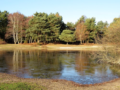
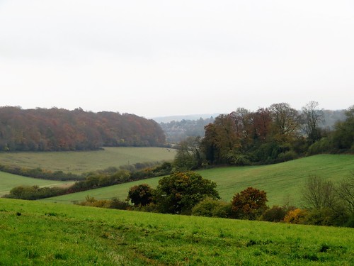
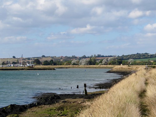
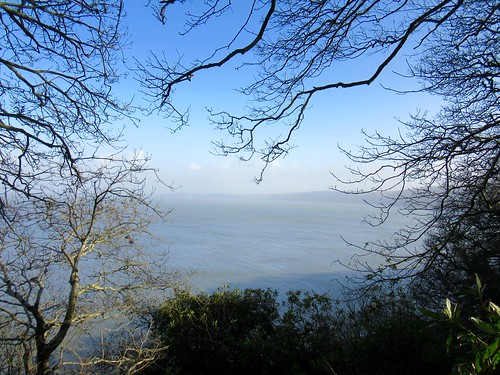
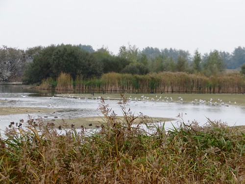
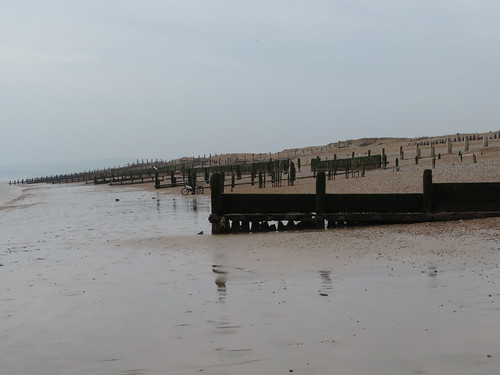
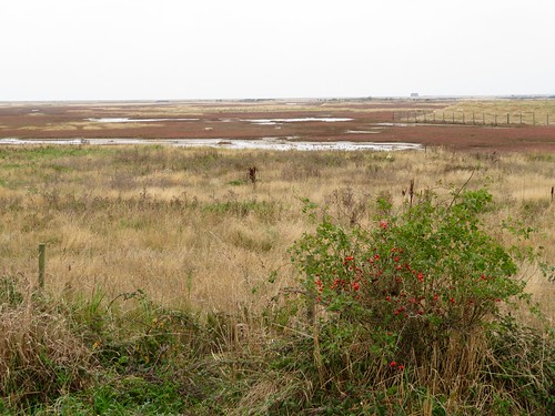
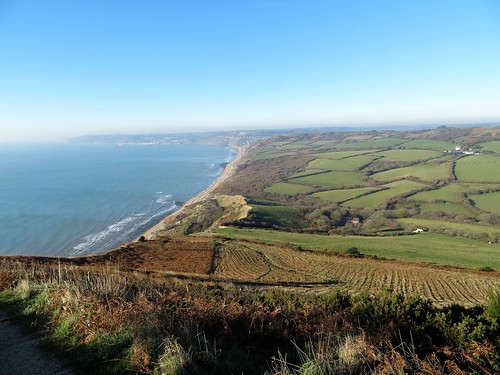
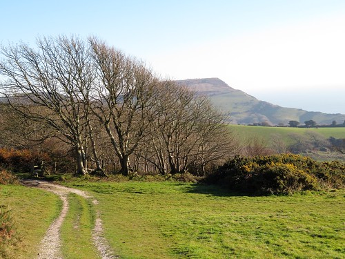
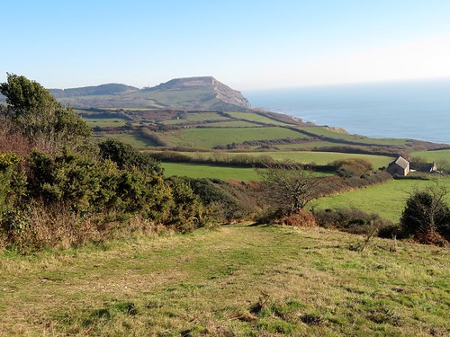
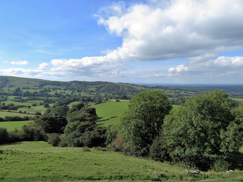
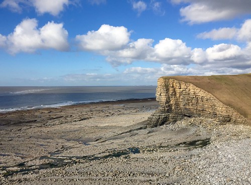
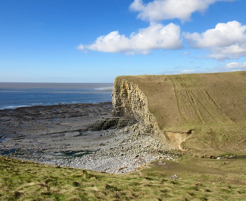
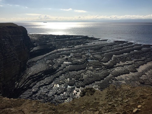
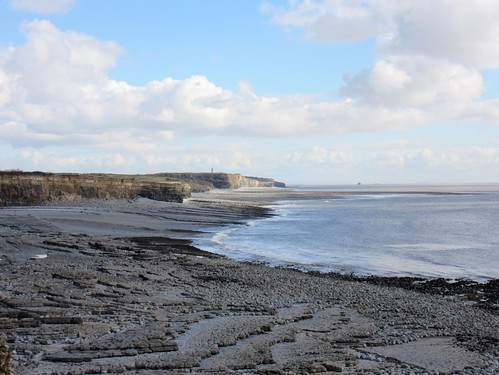
A blowy day at Nash Point on the Glamorgan coast, with the sea breaking in wrinkled lines on unseen reefs far out into the Bristol Channel. A bell buoy clanged a dolorous warning as it swung with the waves. Exmoor lay extended along the opposite shore, with Dunkery Beacon a landmark whaleback. An enormous red container ship was pushing upstream against the tide, making for the docks at Avonmouth.

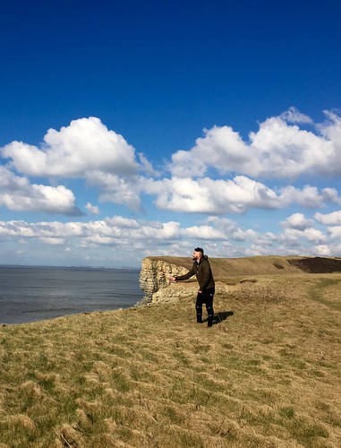
A group of Afghani men conversed excitedly in staccato shouts at the edge of the cliff. They were competitive kite flyers, down from London for the day; experts at the manipulation of air, their brilliantly hued kites swooping and clashing out over the sea as each flyer strove to tangle or cut his rival’s strings. A scene of pure exhilaration, colour and skill, from which we turned away grinning with delight to start the walk eastwards along the cliffs.

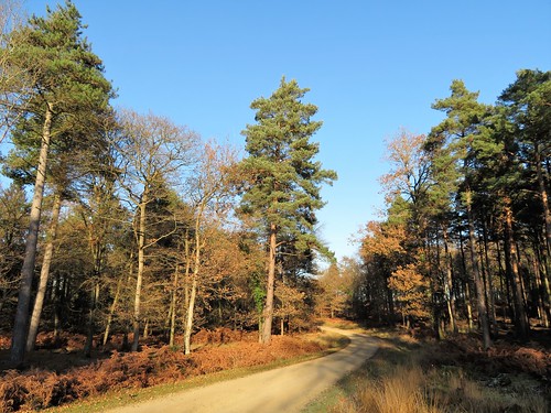
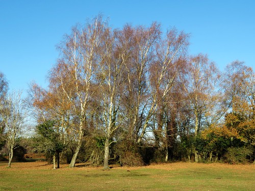
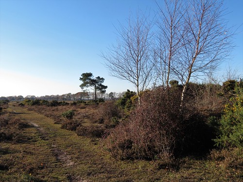
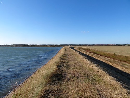
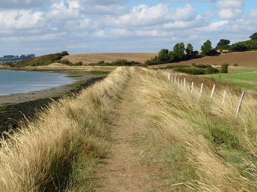
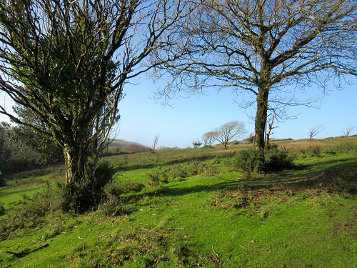
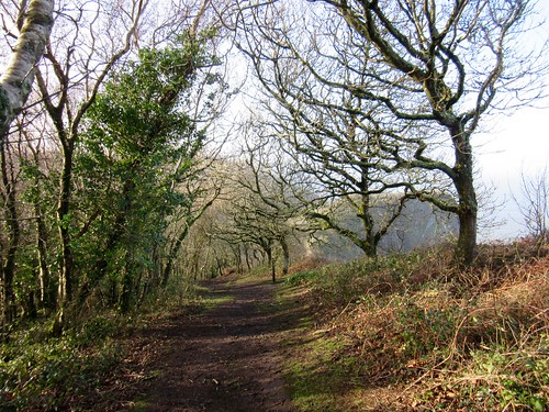
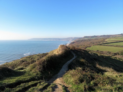
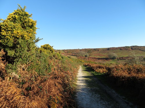
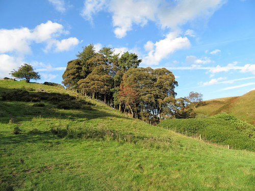
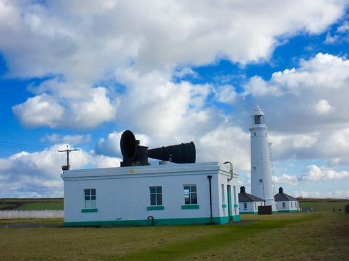
The twin Nash Point lighthouses and their monstrous black foghorns were soon left behind. Long leafless spikes of sea buckthorn lined the cliff path, coated in piccalilli-yellow lichen. In the cornfields, larks were singing. Newly emerged daffodils raised golden trumpets to the wind, as though in honour of St David’s Day.

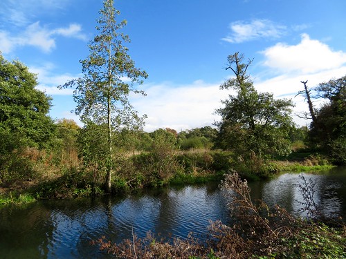
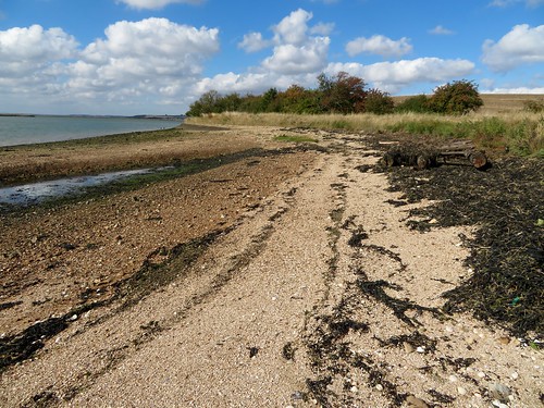
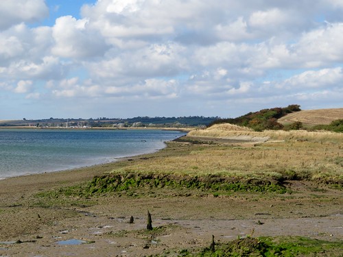
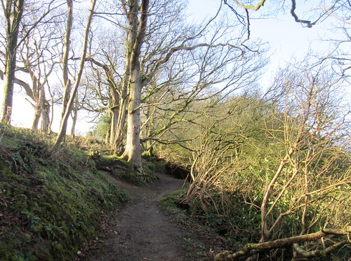
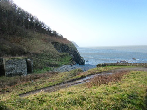
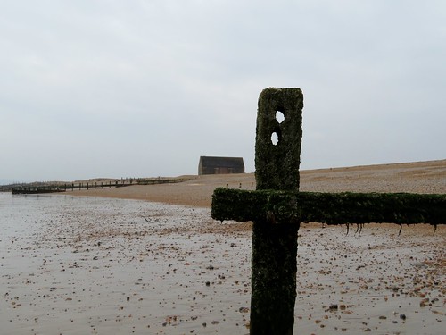
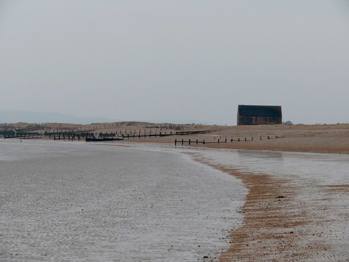
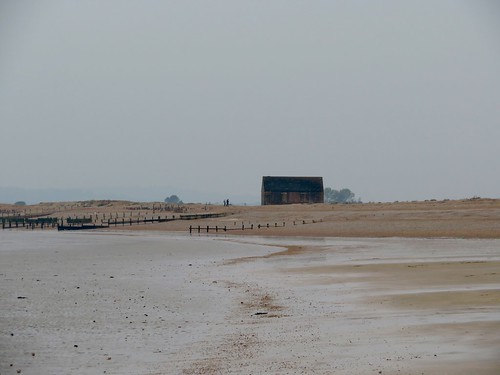
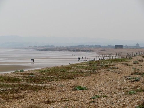
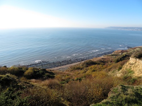
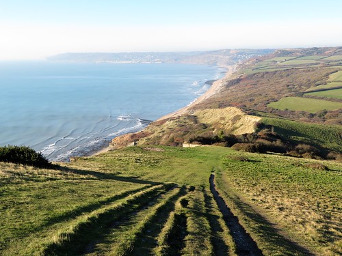
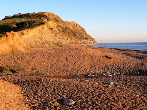
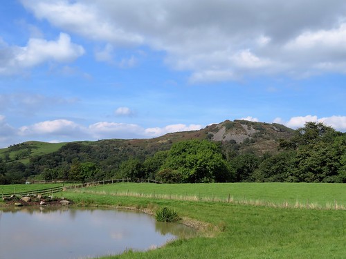
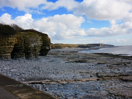
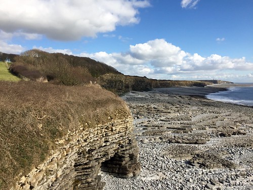
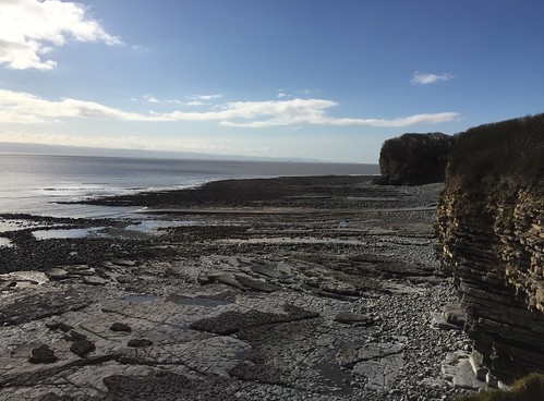
Celandines and early bluebell spears bordered the way as it dropped through trees to the rocks and pools of St Donat’s Bay. From here at low tide the coastal landscape looked starkly apocalyptic, the fractured strata of the grey and yellow cliffs worn ragged by the sea. We teetered along the shore as far as Tresilian Bay with its pirate cave and solitary white house.

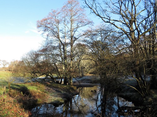
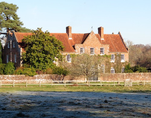
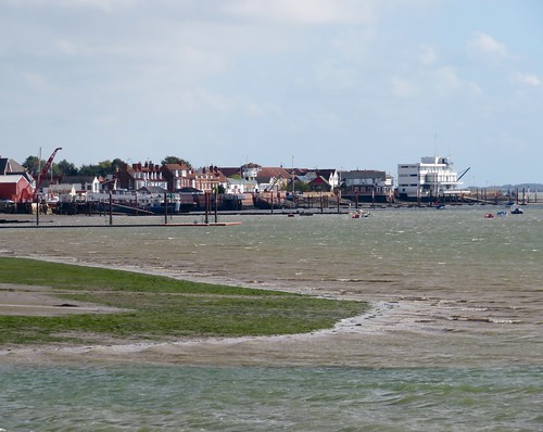
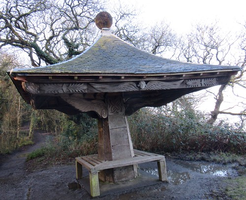
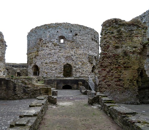
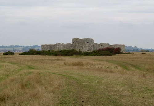
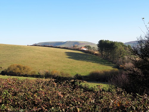
Back at St Donat’s we made our way towards the homeward path through the grounds of St Donat’s Castle. In the 1920s the castle was thoroughly done up by its owner, American newspaper tycoon Randolph Hearst. George Bernard Shaw, one of a string of eminent guests, remarked appreciatively, ‘This is what God would have built – if he had had the money.’
Start & finish: Nash Point car park, Marcross, Glamorgan CF61 1ZH (OS ref SS 916683)

Getting there: Bus service 303 (Bridgend-Barry) to Marcross.
Road: Marcross is signed from B4265, 2 miles west of Llantwit Major (reached via B4270 from A48 at Cowbridge). Lane beside Horseshoe Inn to car park.

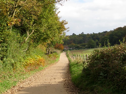
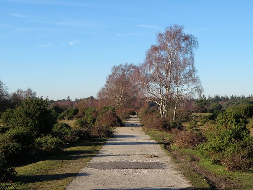
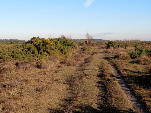
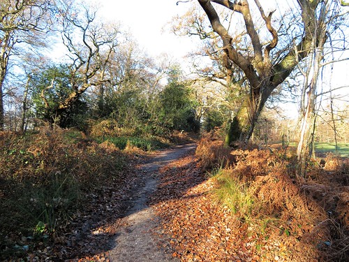
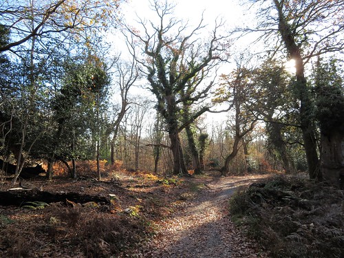
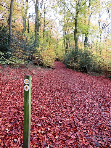
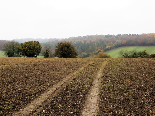
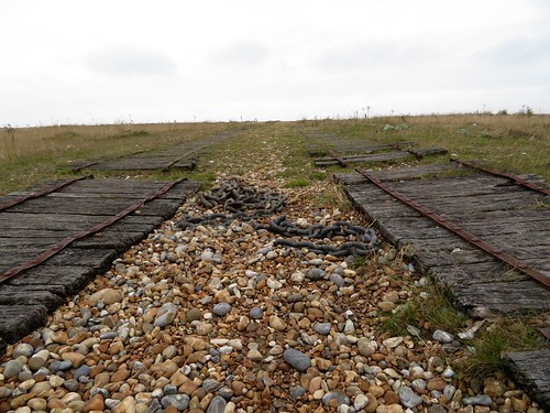
Walk (Option 1 – 6¼ miles; Option 2 – 5 miles. Cliff and field paths, rough rocky beach extension; OS Explorer 151): Pass lighthouse; east along cliff path for 1½ miles, descending to St Donat’s Bay (935678). Cross concrete aprons. Option 1 (low tide only; rough and slippery) – continue ½ mile along shore to Tresilian Bay (947676), returning along cliff top. Option 2 – follow coast path up from St Donat’s Bay for 500m to kissing gate in wall with ‘St George’s Field’ plaque (940679). Left up side of field (‘Valeways Millennium Heritage Trail’/VMHT). Left at road (941682); pass Atlantic College gates; in another 200m, left (936685, VMHT) down drive into college grounds.

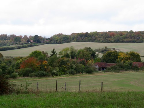
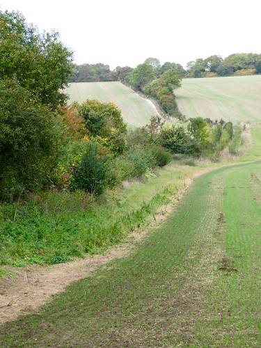
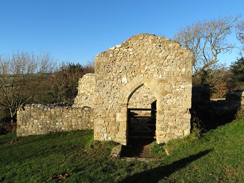
Just before St Donat’s Castle, right (935682, VMHT) down path. Just before church, right (934681, VMHT) on woodland path up Cwm Hancorne to road at Parc Farm (932685). Left; in 50m, left over stile; follow VMHT to cross stone stile and follow wall. In 100m, right over stile (930684); diagonally left across field, aiming for Marcross Farm. Cross stile and kissing gate (927686) into lane; turn right. In 300m VMHT turns left (927688), but keep ahead here along lane to cross road (927691). Field path to cross lane at Lan Farm (927695); across field with earthworks to cross lane at Pen-y-Cae Farm (925696). Follow field path south-west, parallel with lane to lighthouse, for ¾ mile to coast; left across mouth of Marcross Brook (915685) to return to car park.

Conditions: St Donat’s Bay – Tresilian Bay optional shore walk is low tide only. Tide times: http://tides.willyweather.co.uk

Lunch: Plough & Harrow, Monknash CF71 7QQ (01656-890209); Horseshoe Inn, Marcross (01656-890568, theshoesmarcross.co.uk)

Accommodation: Mehefin, Siggingston Lane, Llanmaes, Llantwit Major CF61 2XR (01446-793427)

Nash Point Lighthouse: opening times, visits 07850-047721, nashpoint.co.uk

Info: Bridgend TIC (01656-654906); Llantwit Major (01446-796086), Easter-Sept

visitwales.com; satmap.com; ramblers.org.uk

The January Man – A Year of Walking Britain by Christopher Somerville (Doubleday, £14.99).

 Posted by at 14:22
Feb 252017


First published in: The Times Click here to view a map for this walk in a new window
picture picture picture picture picture picture picture picture picture picture picture picture picture picture
Facebook Link:

A still winter’s day under a mackerel sky of white and blue as we set out from the Withies Inn at Compton. Horses in tarpaulins cropped the paddocks at Coneycroft Stud, where the farm dog ran his nose along the hedge parallel with our boots, and hoarsely proclaimed just what he’d do if he could only get at us.

Along the road the Watts Cemetery Chapel stood tall on its mound. Mary Watts, artist wife of the Victorian painter and sculptor George Frederic Watts, designed it as a brilliant Art Nouveau expression of grief and mourning through the depths of darkness and the redemptive power of light. Local villagers fashioned many of the tiles under Mary’s tuition – she was a passionate believer in everyone’s potential for artistic creativity. The exterior is packed with calm-eyed angels in flaring orange terracotta, the interior full of sombrely coloured, transcendentally beautiful cherubim and seraphim.

Mary and George Watts moved to Compton in 1891 (she was 42, he was 74) and founded a remarkable gallery dedicated to George’s symbolist work. We were tempted to spent the whole afternoon there, but the ancient holloway of the North Downs Way beckoned us away east to the banks of the River Wey on the southern borders of Guildford.

On a sandy river cliff high over the Wey we found the roofless old chapel of St Catherine, round which a notorious fair used to be held. Neither of the Wattses painted that, but JMW Turner did – a vigorous scene of fighting, drinking and sideshow action, the artist depicting the throng in swirling attitudes and splashing colours.

The River Wey was one of the first in England to be canalised, part of a wonderfully ambitious 17th-century scheme to link London to the English Channel in mutual prosperity. We walked south past neat brick lock-keepers’ cottages on the edge of its quiet waters, as still and calm as a linear lake, curving with man-made artistry through meadows where last year’s purple loosestrife stood brown and crackly dry.

Our homeward path lay westward through the arable parkland of Loseley Park. Rooks and black-headed gulls patrolled the furrows in fields of winter wheat, and squirrels scuttered among hazels from which they had stripped every last nut.

Start: Withies Inn, Compton, Guildford, Surrey GU3 1JA (OS ref SU 963468)

Getting there: Bus 46 from Guildford.
Road – From A3 just south of Guildford, Compton is signed. Pass through Compton; in ½ mile, left up Withies Lane to Withies Inn.

Walk (8½ miles, easy, OS Explorer 145): From Withies Inn, right along Withies Lane. Cross road; on along wood edge path (fingerpost/FP). Left at top of paddocks (yellow arrow/YA) to Coneycroft Farm (959475). At shed, left through gate (YA); follow fenced path to road (957475). Left to Watts Cemetery Chapel (956474).

Return up road. In 300m, pass FP on right; in 20m, fork right (957477, ‘North Downs way’/NDW) past Watts Gallery. Follow NDW for 2¼ miles to road (991483). Left (NDW) to A3100. Dogleg right/left into Ferry Lane. Detour right to St Catherine’s Chapel on hilltop (994482); return to Ferry Lane; right to River Wey (994483); right on Wey South Path for 1 mile to cross A248 at Broadford Bridge (997467). Keep on right bank of river; in 450m, fork right at railway bridge (995464) onto railway path to A248 overbridge (993465).

Left here on Cycle Route 22 (‘Peasmarsh’). In 150m join road; immediately left down Oakdene Road. In 100m, right across recreation field to cross A3100 (990465). Follow path into Peasmarsh Wood (signed); in 150m, fork right to cross railway (989465). Ahead along field edge; through far hedge (985467); left along drive to Stakescorner Road (982468). Right; in 200m, left along Loseley Park drive (FP). In 300m, left (979469, FP) past Grove Cottage. Path across 2 fields (YAs) to driveway (975466); left for 100m; right on path among trees. Over stile, then along 2 field edges; left (971465, FP) to dogleg right/left across B3000 (971463).

Cross playing field and road. Follow footpath beside Copse Side. In 400m, right at road (967459); round right bend; in 100m, left along minor road for ½ mile to B3000 (964466); dogleg right/left up Withies Lane to Withies Inn.

Lunch: Withies Inn (01483-421158, thewithiesinn.com)

Accommodation: Eashing Farmhouse, Eashing, Godalming GU7 2QF (01483-421436; compton-surrey.co.uk/eashing-farmhouse)

Watts Gallery and Cemetery Chapel: 01483-810235, wattsgallery.org.uk

Info: Guildford TIC (01483-444333)
visitengland.com; satmap.com; ramblers.org.uk

The January Man – A Year of Walking Britain by Christopher Somerville (Doubleday, £14.99). For 30% off, call 01206 255 777, quoting TIMES302017. 

 Posted by at 02:00
Feb 182017


First published in: The Times Click here to view a map for this walk in a new window
picture picture picture picture picture picture picture picture picture picture picture picture picture picture picture
Facebook Link:

Blue sky overhead, and a hard frost gripping the trees and paths of the New Forest. We crunched the frozen lanes away from Brockenhurst, blowing on our fingers and shattering milky panes of ice in the puddles underfoot. Two forest ponies stood under the trees, their breath shooting in smoky columns from their nostrils. Every blade of the grasses they were champing glinted as though made of glass.

Big oak trees stood solo in the broad acres of Brockenhurst Park. When Edward Morant bought the estate in the 1770s with money from his Jamaican sugar plantations, he created an instant park by having all the field margins grubbed out, leaving only the well-grown hedge oaks to look like parkland specimens. Today the old oaks sheltered roe deer, half hidden in the sun dazzle, their presence betrayed by the flicking vees of their upstanding ears.

Beech leaves fringed with delicate frost lace gave out a peppery smell as our boots crushed them. We turned east beside handsome old Roydon Manor, walking under beech and oak whose fissured bark concealed hibernating insects – not well hidden enough, though, to escape the probing, down-curved beak of a treecreeper as it scuttled up an oak trunk, picking and swallowing.

Lapwings dug for worms in the fields around Dilton Farm as the sun softened the frozen ground. Beyond the farmyard lay the broad expanse of Beaulieu Heath, a great waste of gorse and heather where a rutted track led us past a herd of semi-wild ponies and out across the moor.

Somewhere under the scrub lay the runways of Beaulieu aerodrome, where young pioneers dared the skies in box-kite craft before the First World War. Now the old airfield lay as obscure as the Bronze Age burial mounds of the heath under a camouflage of bracken and gorse.

A cycle path crossed our track, and we followed it up to Lodge Heath where a cow had broken the skin of ice on the pond and was sipping the freezing cold water. We skimmed a stone across the ice for luck, and followed the tangled cycle paths back towards Brockenhurst through a forest stained brilliant orange by a wintry sun dipping towards the western skyline.

Start: Brockenhurst station, Hants SO42 7TW (OS ref SU 301020)

Getting there: Train to Brockenhurst.
Road – Brockenhurst is on A337 between Lyndhurst and Lymington.

Walk (8¾ miles, easy, OS Explorer OL22): Beside level crossing, turn into Mill Lane. On left bend, go right by Mulberry Cottage along lane. At St Nicholas’s Church, left (306017). In 200m, left opposite old stables (306015, ‘Bridleway’) for 1 mile. Opposite Roydon Manor, left through gates (316002, blue arrow) for 1 mile to Dilton Farm. Opposite first barn on left, turn right (331008, ‘bridleway’) on fenced path. Left round barn end; on through gate; head east (blue arrows) for 400m to gate onto heath (336008).

Right for 200m; angle back sharp left (335006) on grassy track at edge of gorse, heading NE across heath for ¾ mile to meet cycle path (344012). Left for ½ mile to Hedge Corner (338018). Through barrier; left along cycleway (signed). In 500m, right (332017) up roadway; at pond, left (333020) past info boards, along roadway to cross B3055 (329025). Ahead for ½ mile to pass New Copse Cottage (328033), then across railway (327034).

In 400m, left at crossroads (326037, cycleway ‘305’). In ⅔ mile, opposite Victoria Tilery Cottage (317035), ahead (‘306’) through gate. Left to car park (315036); left (‘291’, then ‘292’) on cycleway for 900m to B3055 (307032). Ahead to A337 (303032); left along pavement for ⅔ mile to Brockenhurst Station.

Lunch/Accommodation: Pig Hotel, Brockenhurst SO42 7QL (01590-622354, thepighotel.com) – quirky, stylish, fun

New Forest Visitor Information Centre – 02380-282269
visitengland.com; satmap.com; ramblers.org.uk

The January Man – A Year of Walking Britain by Christopher Somerville (Doubleday, £14.99). For 30% off, call 01206 255 777, quoting TIMES302017.

 Posted by at 01:13
Feb 112017


First published in: The Times Click here to view a map for this walk in a new window
picture picture picture picture picture picture picture picture picture picture picture picture
Facebook Link:

None of the Chiltern counties north-west of London is richer in beechwoods, chalky hollows and flinty ridges than Buckinghamshire. On a cold dank day in town you can feel those misty valleys beckoning you away from what you ought to be doing. We didn’t even try to fight it. We got our walking boots on, and set out before the clock struck midday from the Black Horse Inn, just outside Chesham where the Metropolitan tube runs out of line.

This is horse country, a land of paddocks and hay mangers. At Bower Farm the wind-vane figure was a polo player in mid-chukka. Nags caparisoned in thick winter blankets came to the field gates to see what we were up to. Up on the ridge above White Hawridge Bottom we trod heavy clay fields seeded with millions of flints. The rough nuggety soil had been the ruin of many Victorian ploughshares, whose snapped-off fragments lay rusting in the furrows.

The fine 18th-century farmhouse of Hawridge Court stands on the site of an early medieval manor, itself built inside an oval earthen bank that might date back a thousand years or more. The hedges in the valley bottom are thick and venerable, the beech woods ancient.

There’s a sense of long continuity in these Chiltern hills and hollows. The local clay has gone to make good bricks for hundreds of years, and the craft still flourishes at the brickworks of HG Matthews on its saddle of ground above the woods. There were stacks of red bricks in the yard, and a good sour smell of baking brick from the wood-fired kiln beyond the sheds.

We passed the cottages at Bellingdon Farm where DH Lawrence lived briefly in 1914 while writing ‘The Rainbow.’ Compton Mackenzie paid him a visit there, and was amused to find the great writer on his knees scrubbing the kitchen floor.

The homeward path lay along a beautiful hillside and up between the blackly twisted beech roots of Captain’s Wood, where goldfinches flirted from tree to tree and a ghostly silver sun slipped briefly out between one drifting cloud and the next.

Start: Black Horse Inn, Chesham Vale, Bucks, HP5 3NS (OS ref SP 963045)

Getting there: Chesham is signed from A41 between Hemel Hempstead and Tring. At Chesham, follow ‘Hawridge’ for 1 mile to Black Horse.

Walk (6½ miles, easy underfoot, OS Explorer 181): From Black Horse, right along road. In 150m, right (fingerpost/FP, stile) up path. At gate at top of rise, right (961045, stile, arrow). Bear right along hedge, following yellow arrows/YAs; then through 2 large fields for ¾ mile. Opposite Hawridge Court, go through kissing gate/KG (950058); immediately left downhill (YAs, KGs) to valley bottom (948056). Right (KGs, YAs); in 400m cross Hawridge Lane (945059); on through 2 fields (YAs) and into woodland (941064).

In 300m, left at waymark post (939066, YA); cross valley bottom; up through woods to pass brickyard. At building across path, left (937062, YA) along field edge with hedge on right. In 250m, right past house (939061); in 100m, left (‘bridleway’ fingerpost). In ¼ mile, right down Hawridge Lane (942057) past Bellingdon Farm to road (940055).

Left; in 100m, right (fingerpost) down Two Gates Lane. In ¼ mile, left (940051, KG, YA) across 2 fields. Go through 5-barred gate under large oak (942051, YA) and on with hedge on left (gates, YAs). In ¼ mile, at end of 3rd field, through KG (946048); right along lane. At left bend, ahead (KG, YA) on fenced path. At field, left (YA) along hedge above valley.

In ½ mile enter Captain’s Wood (949040). Keep ahead. In 200m, left (950038, stile, YA) through paddocks (gates, YAs) into drive; ahead to cross road (952039). Through KG (fingerpost); left along track. In 300m track bends right (952042), then snakes left/right over stile (954043, YA) into Ramscourt Wood. Follow YAs through wood and down slope to bear right in valley bottom (958045) along track. In 250m, left by house (960043, YA, stile) up fenced path. Right over stile at top (961045); retrace steps to Black Horse.

Conditions: Some slippery stiles.

Lunch: Black Horse Inn (01494-784656; theblackhorsechesham.co.uk)

Info: High Wycombe TIC (01494-421892)
visitengland.com; satmap.com; ramblers.org.uk

The January Man – A Year of Walking Britain by Christopher Somerville (Doubleday, £14.99). For 30% off, call 01206 255 777, quoting TIMES302017.

 Posted by at 01:09
Feb 042017


First published in: The Times Click here to view a map for this walk in a new window
picture picture picture picture picture picture picture picture picture picture picture picture picture picture picture picture
Facebook Link:

A cold wind from the South Yorkshire moors was roaring in the pine trees around Langsett Reservoir. We followed a woodland path along the north shore, watching wind-driven wavelets racing along with slate-grey peaks and silver troughs. On the far side of the water crouched Hingcliff Common and Stanny Common, low hummocks of moorland under a brisk whipping sky.

We crossed the tail of the reservoir over Brookhouse Bridge, a handsome span built at the turn of the 20th century. The stones were rustically dressed, with that meticulous attention to detail that the water boards displayed when they designed the huge reservoirs that supplied the industrial cities of Sheffield and Barnsley. Half a dozen farms were put out of business when Langsett Reservoir flooded their land around 190. Brookhouse Farm was one, an ancient foundation whose rent in the year of the Spanish Armada was rather romantically set at ‘a red rose at Christmas, and a snowball at midsummer.’

It felt as though there might be a midsummer rent to be collected up on the moors today. An icy wind sliced at us and the temperature fell as we trudged south along the old droving track of Cut Gate, its rubbly surface trodden to pale gold by the boots of walkers. It ran between banks of heather and green bilberry shoots where red grouse cackled ‘Go back, go back, g’-back-back-back!’ as they skimmed off low across the moor. Rosettes of cloudberry leaves lay in the heather, shining and leathery.

In the deep clough of Mickleden there were remnants of broken field walls and farm buildings in the velvety turf. We skirted the cleft, looking down on the sinuations of Mickleden Beck. Then we put our backs to the wind and tramped the homeward path across the edge of Stanny Common as a shower pattered on our shoulders and shot silver tracers of rain that smacked into the heather.

Above Langsett Reservoir lay the lonely ruins of North America Farm, the title symbolising uttermost remoteness and isolation to those who named the place. We passed its broken walls and found a path above the water, where beyond the lapping of the waves we could hear the bubble of curlews coming faintly from the moors.

Start: Langsett Barn car park, S36 4GY (OS ref SE 211004)
Getting there: Bus 20A (Barnsley)
Road – car park is signed off A616 in Langsett, between Stocksbridge and New Mill (M1, Jct 35a)
Walk (5 miles, moderate – slippery and rocky in places – OS Explorer OL1. Online maps, more walks at christophersomerville.co.uk): Through lower wall of car park, down to reservoir wall; right and follow path. At west end of reservoir, left across Brookhouse Bridge (198006). Left through gate and follow clear Cut Gate track south. In ½ a mile keep ahead at arrow post (198000, ‘Kinder Loop’ bridleway). In another mile, left past green sign ‘Langsett and Penistone’ (192987); follow path north-east. In 1 mile, with North America Farm ruins through gate on left, bear right (203997) along track above south side of reservoir. In 650m, through gate (208994); ahead past ‘Langsett At War’ info board along reservoir wall (‘Permissive Path’ arrow) through trees. In ¾ of a mile, left along road (216001), across dam wall. At far end, left (‘Bridleway’) to car park.

Lunch: Waggon & Horses, Langsett (01226-763147, langsettinn.com)
Bank View Café, Langsett (01226-762337, bankviewcafe.co.uk)

Accommodation: Cubley Hall Hotel, Mortimer Rd, Penistone S36 9DF (01226-766086, cubleyhallhotel.co.uk)

Info: Info panel in car park
bradfield-walkers.org.uk; yorkshire.com; satmap.com; ramblers.org.uk

The January Man – A Year of Walking Britain by Christopher Somerville (Doubleday, £14.99)

 Posted by at 01:54
Jan 212017


First published in: The Times Click here to view a map for this walk in a new window
picture picture picture picture picture picture picture picture picture picture picture picture picture picture picture picture
Facebook Link:

The little train from London rattled through the low-lying countryside of easternmost Essex. Burnham-on-Crouch lies almost at the end of the line, a small self-contained town for sailors and oyster-eaters, tucked into the mud and saltmarsh on the north bank of the sea-going River Crouch. The great days of fishing-smack fleets and smuggling ketches may be gone, but Burnham on a day like this, under a blue sky with a brisk east wind blustering in from the North Sea, is a salty town you want to linger in.

We put our backs to the breeze and headed upriver away from Burnham marina where the yacht halyards were screaming softly in the wind. Black-headed gulls in white winter hoods were tossed about the sky, too intent on staying aloft to make their usual fishwife screeching. The wind ruffled the estuary into white horses and slapped the waves against the wrinkled mud banks. Across the Crouch came more faint banshee wailing from the yacht rigging in a distant marina, and the iron clank of a crane unloading timber from a dark blue freighter tied up at Baltic Wharf – evocative name.

It was wonderfully exhilarating, walking the narrow seawall path above hissing reedbeds and long hanks of bladder wrack flying from posts and railings like a mermaid’s washing. Seaweed lay far up the road at the tiny enclave of Creeksea, testament to the power of East Coast tides at the full.

We passed duckboard jetties and plank causeways over the marsh, unfathomable posts in the water, and lines of black stakes squaring off the muddy beaches into long-abandoned oyster beds. To the north the ground rose into a clearly defined ridge of clay farmland topped with small woods and houses; southward across the river it looked flatter and moodier, a compelling landscape spreading into the long creek-divided wastes of Bridgemarsh Island, where brent geese were feeding.

The navigable channel past the marsh island was marked with stakes, each thin rod topped with a warning triangle. A stranger in these shallow, murky waters would find it all too easy to go aground on an unsuspected mudbank.

Egrets rose out of the creeks, snow-white against the dun marshes. The wind puts its hand in our backs and shoved us along, mile after zigzag mile, until Fambridge’s little quay hove in sight, with a row of sea kayaks like a rack of giant kippers hung up to dry in the wind and sun.

Start: Burnham-on-Crouch station, Essex, CM0 8BQ (OS ref TQ 948965)

Getting there: Rail to Burnham-on-Crouch.
Road: M25 Jct 29; A127 to Wickford, A132 to South Woodham Ferrers; B1012, B1010 to Burnham-on-Crouch station car park.

Walk (9½ miles, easy, OS Explorer 176.): Down station approach, right; first right along Foundry Lane. In 600m, fork left (944963) on footpath across rough ground to marina. Cross car park, down steps (942961); cross north end of marina; left down far side; right/west (940956) along sea wall. In ⅔ of a mile at Creeksea (932957) follow road; in 300m on right bend, left (fingerpost) on field path to another gate (928961); follow sea wall path west for 6 miles. 400m short of Fambridge Quay, turn inland (857965, waymark) on path northward past Blue House Farm for ½ a mile to road (855973). Ahead to North Fambridge station (856978). Return by rail to Burnham-on-Crouch.

Lunch: Ferry Boat Inn, North Fambridge CM3 6LR (01621-740208, ferryboatinn.net)

Accommodation: Oyster Smack Inn, 112 Station Road, Burnham-on-Crouch CM0 8HR (01621-782141; theoystersmackinn.co.uk)

Information: Southend-on-Sea TIC (01702-618747)

visitengland.com; satmap.com; ramblers.org.uk

The January Man – A Year of Walking Britain by Christopher Somerville (Doubleday, £14.99)

 Posted by at 01:29
Jan 142017


First published in: The Times Click here to view a map for this walk in a new window
picture picture picture picture picture picture picture picture picture picture picture picture picture picture picture
Facebook Link:

It was a brilliantly sunny winter’s afternoon, and as blowy as hell on the hillside above Clovelly. This stretch of the North Devon coast was always notorious for the lack of shelter it afforded to seafarers and fishermen in the days of sail, and the waves were dashing against the tall black cliffs as though they would grind heaven and earth to pieces. In the woods the wind roared softly, and as we walked the coast path westward we had glimpses between the leafless oaks of the sea whipping itself into cream on the pebbly beaches far below.

The constant sea wind has streamlined these clifftop woods into a smooth curve that bends inland with hardly a twig breaking the continuous line of the treetops. In the shelter of the trees spring was coming early to North Devon, with shoots of bluebells and sprigs of primrose leaves already showing.

The view back from Gallantry Bower showed the eastward run of the coast to the estuary of Taw and Torridge, then on towards the ghost of Baggy Point in a haze of spray. The cliffs around Mouthmill Beach were full of fantastic geological contortions, the rocks bent into acute angles by tremendous upheavals below the surface hundreds of millions of years ago.

We dropped steeply down to lonely Mouthmill Beach with its abandoned limekiln. In Victorian times the Welsh limestone boats would dump great stone blocks here to be burned to quicklime and spread as fertilizer on the acid local land. Steeply up again to Brownsham Cliff, where we left the coast path to follow the fields to the ancient farming community of Brownsham.

Down in the ferny depths of Brownsham Wood we sat on a mossy wall to hear the wind make a roaring sea of the treetops. Then up and on through the parkland of Clovelly Court, and a steep descent on a path of cobbled steps into Clovelly.

The early 20th century chatelaine of Clovelly Court, Christine Hamlyn, was a bit of a tyrant, and she certainly ran an extremely tight ship. Everything in Clovelly had to be kept just so, with never a whiff of ‘tripper’. What she left for posterity is a village about as perfect as you could wish for, a photogenic tumble of cottages down a ludicrously steep cobbled street. As we climbed the roadway back to the car park, a full moon sailed across the bay and spread a sheen of silver across the restless sea, a scene so beautiful it was hard to believe it was real.
Start: Clovelly car park, North Devon EX39 5TL (OS ref SS 315249)

Getting there: Bus 319 from Barnstaple. Road – Clovelly is signed from A39 between Bideford and Bude.

Walk (6 miles, moderate, OS Explorer 126): Through Visitor Centre, down to roadway. Left (‘Coast Path/CP, Brownsham’). In 100m, left through gate (CP) into field. In 50m, fork right (CP) parallel to road. Follow CP for 2¼ miles. On Brownsham Cliff, where CP turns right down steps, keep ahead (290264, ‘Brownsham ¾’). In 200m, stile (red arrow/RA) into trees. Follow RA/’Brownsham’ to Brownsham car park (286260). Right through car park; left down steps; left (CP) along drive. Past shed, turn right (‘Mouth Mill’, Bridleway).

Follow bridleway track through woods. In ¾ mile, at fork keep right (ahead) across stream (297259). Left at junction (‘bridleway’); in 50m, right up stony track (blue arrow/BA). Through gate (299259); ahead along wood edge; through gate (BA). Half right up field slope to meet track at top right corner of wood ahead (302256, arrow on post). Left along track for ½ mile, through Court Farm to Clovelly Court. Right in front of church (309251); left at road. Keep left where cars fork right for car park (313250). In 300m, right at T-junction (316250); in 50m, left down woodland path, then steep cobbled steps into Clovelly. Left down village street (318248) to harbour; return up street to top (316247); right to car park.

Conditions: Slippery cobbles, muddy paths, unguarded cliffs; steep climb from Mouth Mill.

Lunch/Accommodation: Red Lion, The Quay (01237-431237) or New Inn (01237-431303); both stayatclovelly.co.uk

Info: Clovelly Visitors Centre (01237-431781); clovelly.co.uk; visitengland.com; satmap.com; ramblers.org.uk

The January Man – A Year of Walking Britain by Christopher Somerville (Doubleday, £14.99)

 Posted by at 01:05
Jan 072017


First published in: The Times Click here to view a map for this walk in a new window
picture picture picture picture picture picture picture picture picture picture picture picture picture picture picture picture picture picture picture picture picture picture picture
Facebook Link:

Rye Harbour is a strange old place. The ivy-strangled Martello tower and the grim Second World War bunkers tells you that this is a coast that has lain under constant threat of invasion. And the enormous expanse of flint pebbles, spreading inland for more than a mile, betokens the incursions of thousands of tons of shingle, dumped here by the restless sea.

This is moody country on a cold morning. A whistling east wind drove us along the beach. Lesser black-backed gulls sulked on the sandbanks, and redshank foraged fastidiously with jerky steps in the pools of Rye Harbour nature reserve on the inland side of the sea bank.

A pair of human figures patrolled the tideline, probing the beach with long rods as they sucked out lugworms for fishing bait. I set off to find out what they were doing, and sank without warning up to my knees in glutinous mud that I had mistaken for sand. I struggled out, mud-splattered all over. ‘See you found a mud hole!’ grinned a passing man in a van. ‘Lucky you didn’t go in over your head, eh!’

King Henry VIII built Camber Castle as a coastal stronghold to keep the French at bay. Now, five centuries later, the stark grey fortress stands more than a mile inland among wide fields where a thin skin of grass overlies a wilderness of pebbles. We walked a circuit of the eroded bastion walls, then made for a hide on the shores of Castle Water where green-headed shoveller drakes swept the water with heavy spatulate bills. Elegant terns hung over the water on crooked wings, and the big black outline of a marsh harrier ghosted quietly across the reed beds.

Back on the shore we found the gaunt blocky shed from which a crew of Rye Harbour men launched the lifeboat Mary Stanford on a bitter November morning in 1928. She was lost with all hands; 17 men from one tiny village. The lifeboat house has remained locked and unused ever since – a downbeat memorial to bravery and death on an unforgiving shore.

Start: Rye Harbour car park, Rye, East Sussex TN31 7TU (OS ref TQ 942190)

Getting there: Bus 313 (Northiam-Rye Harbour)
Road – Rye Harbour is signed off A259 between Rye and Winchelsea.

Walk (8¼ miles, easy, OS Explorer 125): From car park follow sea wall past Lime Kiln Cottage info centre (946186) to river mouth (949181). Right along beach or coast road. In 1 mile pass old lifeboat shed (932172); in another 650m, right inland on path past info board (928168) over 2 crossings (925171 and 921173) for ¾ of a mile to road (917175). Right; just past Castle Farm, fork left (920176) to Camber Castle (922185). Clockwise round castle; on east side, path along fence to wooden gate (924185) leading to bird hide. Return to gate; left through metal gate; field edge south. Left across end of Castle Water to junction (925179); right; in 400m, left through gate no. 9 (923177). On past Camber Cottage (921174); through gate, then left for ½ a mile to shore road (928168). Left to lifeboat house; in 300m, left on gravel track (934174). In 300m, through left-hand of two gates (934176); ahead to junction (931178); right on gravel track for 1 mile to road (939191); right to car park.

Lunch: Inkerman Arms (01797-222464) or William the Conqueror PH (01797-223315), Rye Harbour

Accommodation: Ship Inn, Rye TN31 7DB (01797-222233, theshipinnrye.co.uk) – friendly, fun atmosphere.

Lime Kiln Cottage info centre; open 10-4 (wildrye.info); visitengland.com; satmap.com; ramblers.org.uk

Britain’s Best Walks: 200 Classic Walks from The Times by Christopher Somerville (HarperCollins, £30). To receive 30 per cent off plus free p&p visit harpercollins.co.uk and enter code TIMES30, or call 0844 5768122

 Posted by at 01:09
Dec 242016


First published in: The Times Click here to view a map for this walk in a new window
picture picture picture picture picture picture picture picture picture picture picture picture picture picture picture picture
Facebook Link:

Seatown lies tucked into a crack in the Dorset coast, right at the heart of a spectacular run of crumbling cliffs that stretches west from Chesil Beach to well beyond Lyme Regis. This is walking country so superb that it came as a surprise, even on a weekday morning in mid winter, to find ourselves climbing away westward from Seatown’s cosy old smugglers’ pub, the Anchor Inn, with only a handful of walkers to share the South West Coast Path with us.

The weather matched the landscape for magnificence, a cloudless blue bowl of sky, upturned over a coast of close-cropped pasture fields and tall bitten-off cliff faces. The whaleback of Golden Cap is the highest piece of land along the Dorset Coast. Up there, more than 600 feet above the sea, the view was sublime – east along the yellow wall of cliffs to the long curve of Chesil Beach and the distant wedge of the Isle of Portland, west over a great sloping rampart of rock steps smothered in scrub, to Charmouth and Lyme Regis sprinkled in white cubes down their valleys, and the tottering coast beyond.

This is one of the most dynamic coasts in Britain, the greensand and chalk toppings of the cliffs constantly slipping and sliding seaward on the treacherous layer of skiddy gault that underlies them. Rainfall and hidden springs lubricate the clay layer, making things even more wobbly. Falls are frequent, landslips commonplace. The angled flanks of the cliffs and the skirt of fallen material and rocks at their feet bear witness to their remarkable instability.

A young robin, emboldened by hunger, followed us down the steps from Golden Cap, pecking at fragments of chocolate that we let fall. We followed the Coast Path west along the shaky rim of the cliffs, looking down into the chaotic jumble of the undercliff where sedges, willows and brambles flourished in the untrodden ground.

At last we turned inland past lonely Westhay Farm, up to the ridge of Stonebarrow Hill and the homeward path. At Upcot Farm chickens roamed, the farmer dug his muckheap, and a handsome bull stood unmoving beside the stile, contemplating space and his own internal rumblings.

Down in a cleft below Golden Cap we found the broken walls of St Gabriel’s Chapel, built 800 years ago to serve a remote agricultural community in this isolated hollow. Most likely those medieval peasants never had the time or leisure, as we did, to drop down onto the beach at Seatown and watch the red ball of the winter sun sink below the horizon and leave a track of wrinkled gold across the sea.

Start: Anchor Inn, Seatown, Bridport, Dorset DT6 6JU (OS ref SY 420917)

Getting there: Seatown is signed off A35 Lyme Regis to Bridport road at Chideock.

Walk (6¾ miles, moderate, OS Explorer 116): From Anchor Inn, inland up road. In 250m, left (fingerpost/FP, ‘Coast Path’/CP’, ‘Golden Cap’) on path also marked ‘Monarch’s Way’. Follow CP for 2½ miles, over Golden Cap (407922) and three streams (398923, 389926, 386926). In field that follows 3rd stream, Westhay Water, bear right just below Westhay Farm at 3-finger post (385927, FP ‘Stonebarrow Hill’). 200m above farm, drive bends right; ahead here (382930, ‘NT car park’), up bridleway to car park (381932). Right on track along Stonebarrow Hill.

In ½ mile at next car park, fork right (390935, FP ‘Chardown Hill’). In 20m, through gate (‘St Gabriel’s’); fork right, diagonally downhill, path soon becoming a track, for ⅔ mile, to Upcot farm. Left (397930, FP ‘St Gabriel’s’); in 150m, right (FP, stile); follow hedge on right to bottom corner of field; right over stile (399927) into lane. Right, down to St Gabriel’s.

Opposite St Gabriel’s House, left (401924, FP ‘Seatown’) past chapel ruin (blue arrow) and on (‘Langdon Wood, Seatown’). In 250m, right (404925, FP ‘Langdon Wood’) up to 3-finger post (405924). ‘Langdon Wood’ points left, but bear half right uphill, following top hedge to gate (408924). Forward (FP ‘Langdon Hill’) to gate (410923). Forward (‘Seatown, Chideock’) along edge of Langdon Wood. In 300m, right (413923, FP, ‘Seatown’) down to CP (415921); left to Seatown.

Conditions: Some short steep climbs; unguarded cliff edges

Lunch/Accommodation: Anchor Inn, Seatown (01297-489215, theanchorinnseatown.co.uk) – friendly, comfortable, superbly situated.

Info: Lyme Regis TIC (01297-442138); visitengland.com; satmap.com; ramblers.org.uk

Britain’s Best Walks: 200 Classic Walks from The Times by Christopher Somerville (HarperCollins, £30). To receive 30 per cent off plus free p&p visit harpercollins.co.uk and enter code TIMES30, or call 0844 5768122

 Posted by at 01:37
Dec 172016


First published in: The Times Click here to view a map for this walk in a new window
picture picture picture picture picture picture picture picture picture picture picture picture
Facebook Link:

The Crag Inn at Wildboarclough lies tucked down in a quiet valley of easternmost Cheshire. The wild gritstone hills and moors of the Peak District rise all around. The farm buildings of the district are dark and solid, but the field walls sparkle with chips of mica on sunny afternoons such as this. Old stories say that the last wild boar in these hills was hunted down to death in this steep little valley. That might not be strictly true – but when were local legends ever the better for being plain, provable fact?

I followed a field path west along the flanks of the Clough Brook, then up the cleft below Oakenclough. Stopping to listen, I could not hear a single sound but the trickle of the brook. Over the damp shoulder of High Moor and down to the Hanging Gate Inn on its escarpment edge, with a most tremendous view out west over tumbled farmlands to the Cheshire plain stretching into misty distance.

The bare stone bluff of Tegg’s Nose lifted its dark grey hump ahead as I walked north along the waymarked Gritstone Trail that knits together a fine string of these coarse sandstone hills. Hawthorns were thick with scarlet berries, or ‘peggles’ as the great naturalist Richard Jefferies used to call them. I tested them with a squeeze of the fingers: still hard as rock, so that I wondered how the fieldfares and redwings of winter were going to gobble them down.

Ridgegate and Trentabank reservoirs gleamed dully between their pines and silver birch trees. A tremendously cheery party of U3A walkers met me on the way up to the moors, their cheerful chatter and rosy cheeks the perfect advertisement for the benefits of walking in one’s riper years.

I forged ahead across the sedgy uplands on a pitched path that led to a scramble up to the gritstone peak of Shutlingsloe, the ‘Matterhorn of Cheshire’. At the summit of this mini-mountain I was lord of a hundred-mile view from the Pennines to the Trent, the Long Mynd to the Clwydian Hills of Wales. A few minutes to stand and stare, and I was scrambling down for the homeward path to Wildboarclough.

Start: Craig Inn, Wildboarclough, Macclesfield, Cheshire SK11 0BD (OS ref SJ 981685)

Getting there: Wildboarclough is signed from A54 Congleton-Buxton road at Allgreave.

Walk (7½ miles, moderate, OS Explorer OL24):
From Crag Inn car park, right along road. Immediately right through wicket gate (yellow arrow/YA). Bear left, parallel with road, and follow grassy path across 7 fields (gates, YAs, coloured circles). 2 fields beyond High Nabbs farm, path rises to angle of wall (970681). Right across stile (circles, YA); left along lane. In 600m, right at road (964685). In 300m at Greenway Bridge, right (963687, YA) along river. In 300m, cross Highmoor Brook by footbridge (963690). Follow YAs, then permissive path below Oakenclough house. Cross drive (961695); left through gate (YA), up by wall. Through gate at top; ahead on grassy track to corner of wall (959696). Ahead with wall on right; at end, right through gap; left over stile, down fenced track to cross road at Hanging Gate Inn (952696).

Down side of pub; right through kissing gate on path down to road (951698). Left for 150m; right over stile and follow Gritstone Trail/GT markers north for ¾ mile. Approaching Greenbarn, fork left (952710); in 100m, right through gate (GT). Skirt to left of house; through gate onto drive. Left; in 50m, GT on telephone pole points left, but fork right down through wicket gate. Left (YA) to cross footbridge; on up steps to path junction at Ridgegate Reservoir (952713).

Right (‘Shutlingsloe’); follow path along south edge of reservoir, then through woods to road (959711). Turn right on ‘Walkers Only’ path on right of road. In 200m pass Macclesfield Forest info board; in another 150m, bear right (963711, ‘Shutlingsloe’). In 100m fork right uphill. Follow ‘Shutlingsloe’ for 1½ miles through trees, then across moor to Shutlingsloe summit (977696 – short steep climb to top). Follow path to south end of summit; short steep scramble down and bear left; path across moor down to farm road (983691). Right to Crag Inn.

Conditions: Some boggy bits; steep ascent/descent of Shutlingsloe peak.

Lunch: Crag Inn, Wildboarclough (01260-227239, thecraginn.co.uk) or Hanging Gate Inn, Potlords (01260-400756, thehanginggate.co.uk) – both closed Mon/Tues

Accommodation: Stanley Arms, Bottom of the Oven, Macclesfield Forest SK11 0AR (01260-252414, stanleyarms.com) – warm, cheerful place; good food and welcome

Info: Macclesfield TIC (01625-378123); visitengland.com; satmap.com; ramblers.org.uk

 Posted by at 01:52