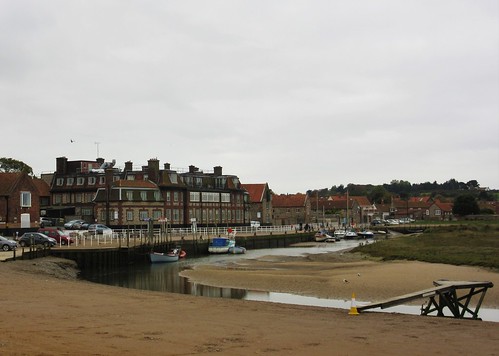
First published in: The Times Click here to view a map for this walk in a new window


Facebook Link:

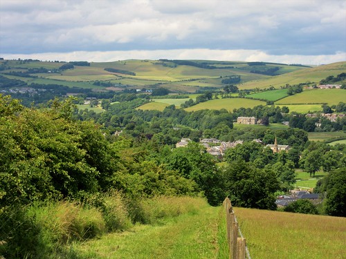
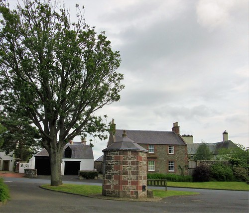
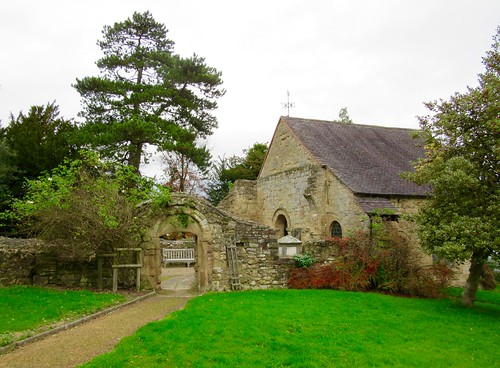
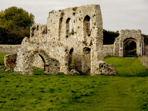
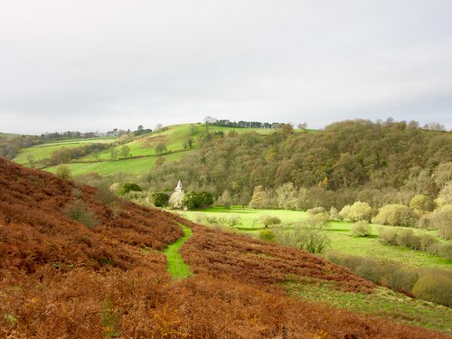
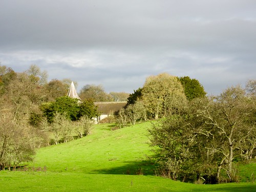
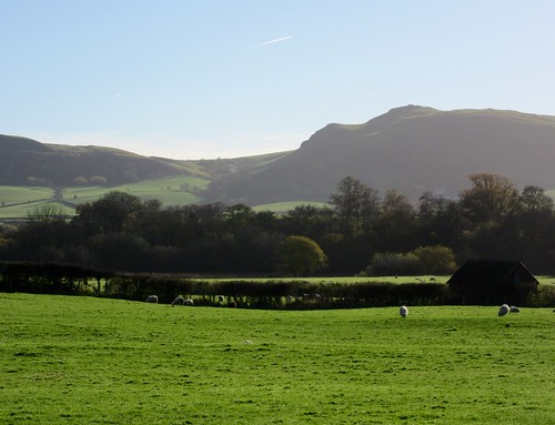
The last of the morning’s bright sun shone on Cefnllys’s little grey Church of St Michael on its saddle of ground above the River Ithon. In 1893 the Rector had been so keen to lure the congregation of this scattered rural parish to his new church in nearby Llandrindod Wells that he ordered the roof of St Michael’s taken off. Two years later, defeated by the stubborn loyalty of the parishioners to their medieval chapel, he had the church restored and re-opened for worship.
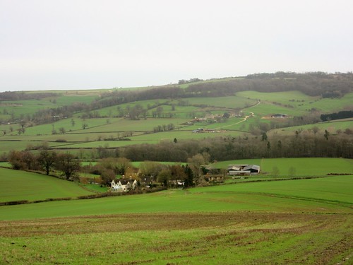
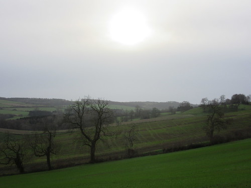
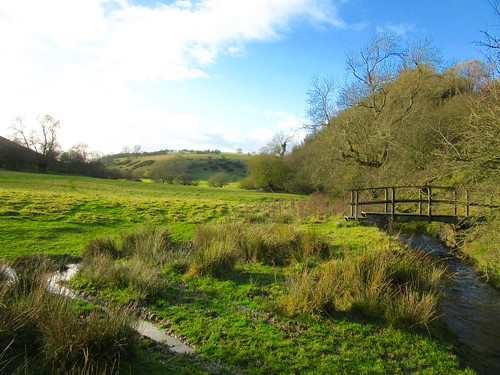
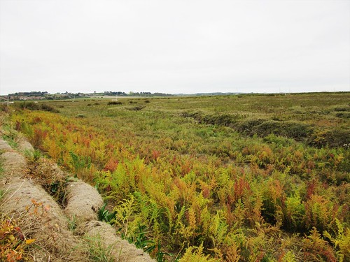
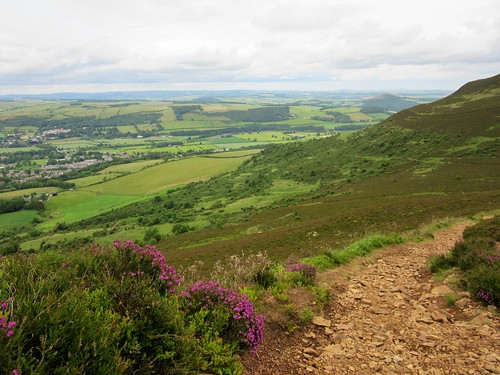
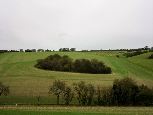
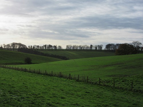
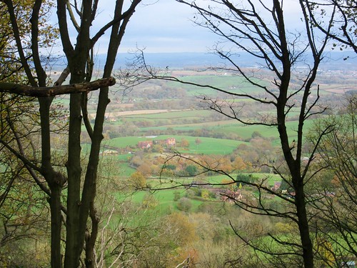
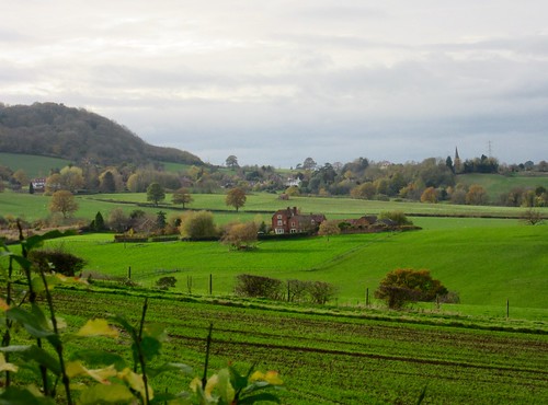
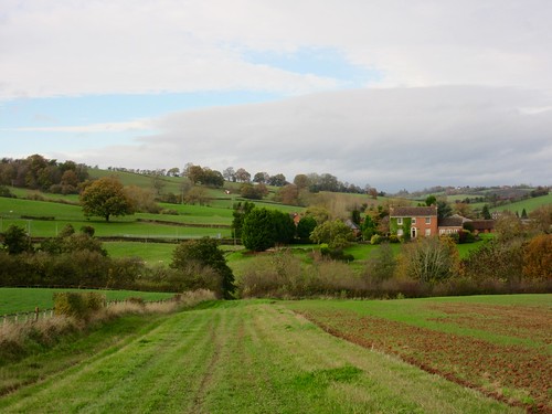
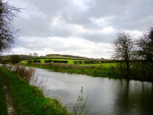
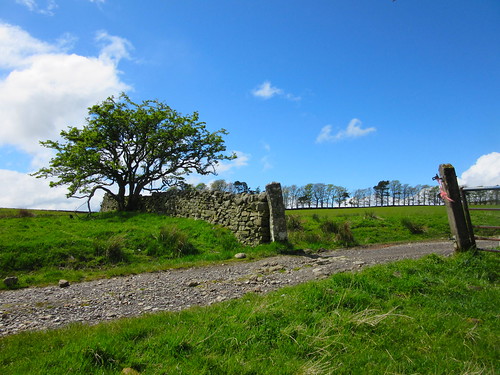
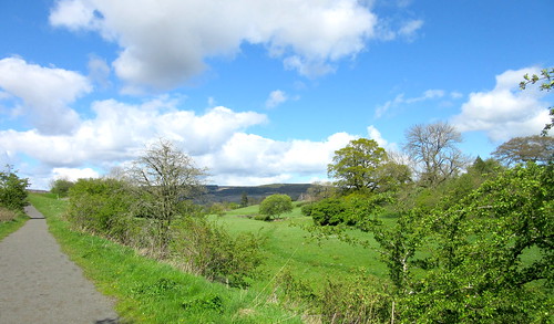
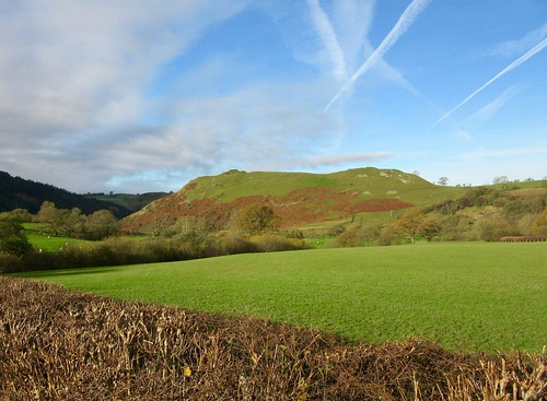
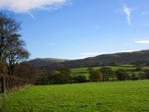
They build to last in this part of Wales. Solid old farmhouses stood above the snaking Ithon as we walked a bank of ruddy brown bracken high above. But the twin castles that once crowned the peaks of Cefnllys are no more than heaps of stones now. In their 150-year history they were besieged, taken, retaken and burned out – part of the savage history of Welsh rebellion against the English overlords.
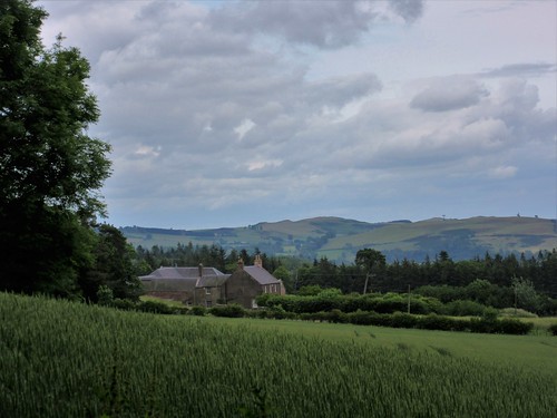
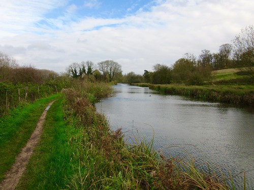
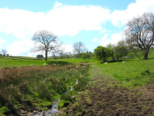
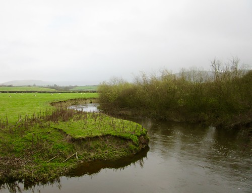
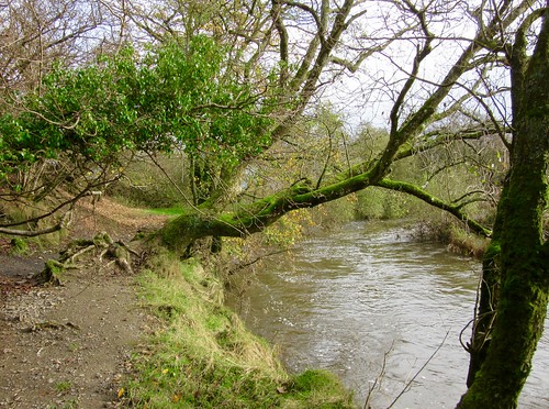
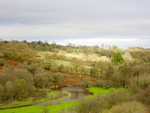
In the field beyond Neuadd farm two black-and-white horses with feathery legs stood outlined like gods on the ridge. We followed a bridleway down to a bend of the fast-flowing Ithon, where a treeful of fieldfares swooped from oak to ash in the blink of an eye. A gang of chattering starlings went whooshing across the rooftops of Brynthomas farm, chased by the first spits of rain out of the sullen western sky.
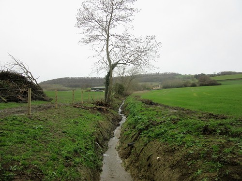
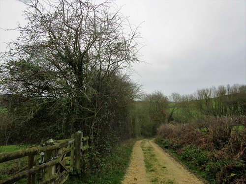
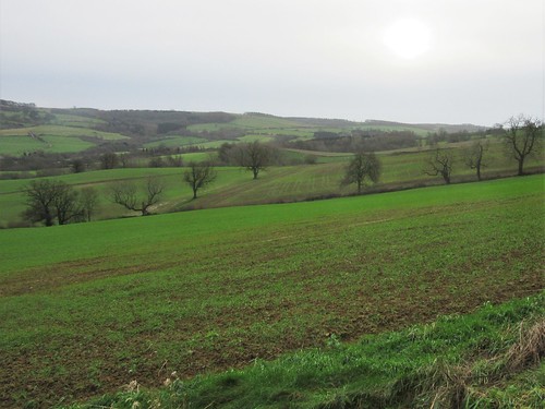
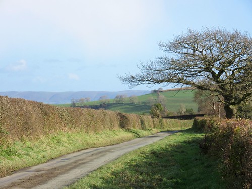
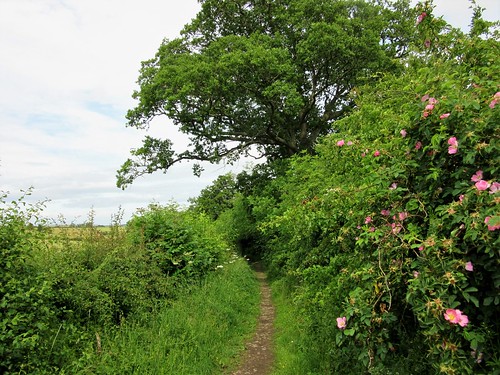
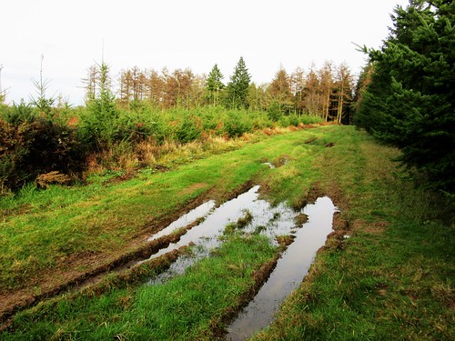
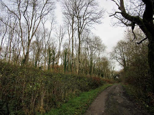
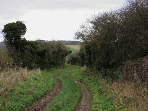
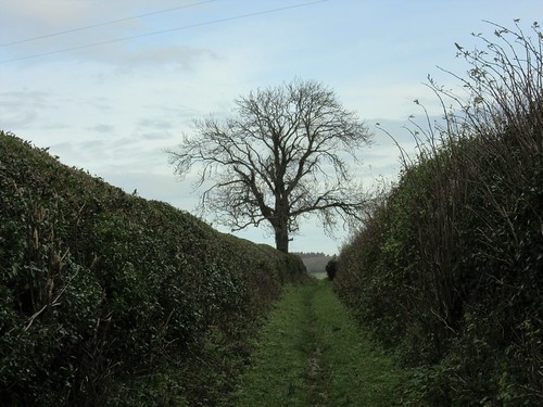
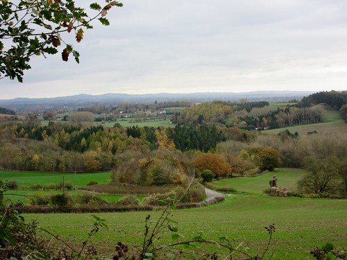
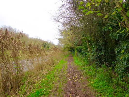
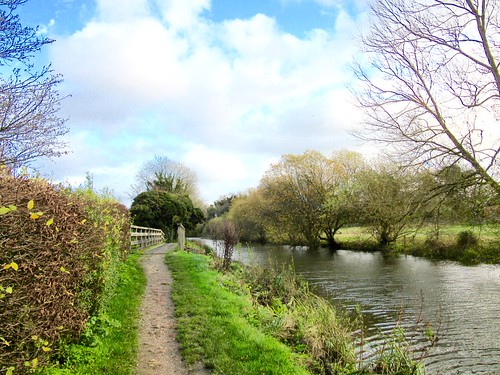
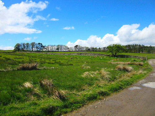
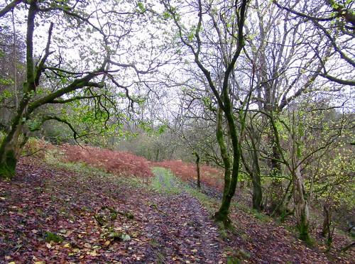
These tangled lanes of Radnorshire are quiet enough to walk with pleasure. A farmer in a mud-splattered Land Rover chuntered by, raising one large hand in laconic greeting. At Rhewl we found a boggy old green lane, and squelched along it through rushy fields and the tumbled stones of long-dissolved farmhouses.
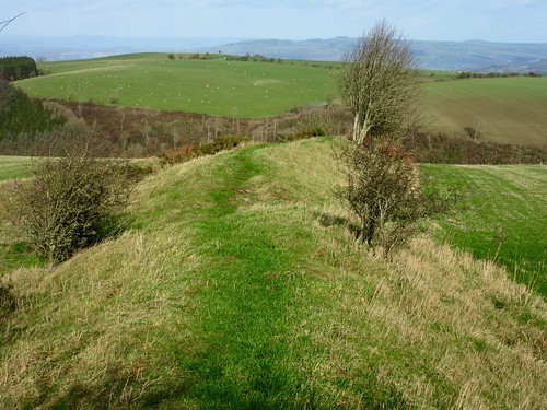
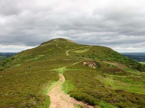
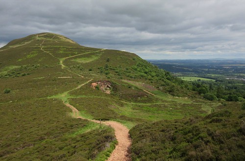
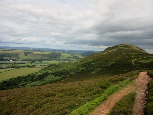
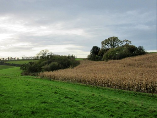
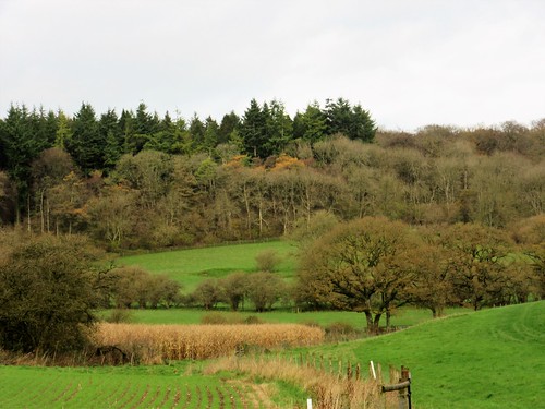
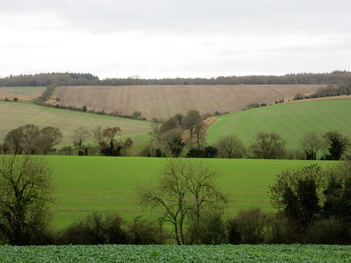
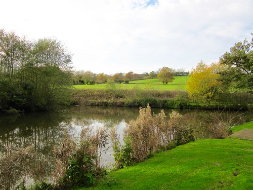
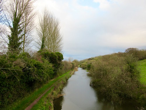
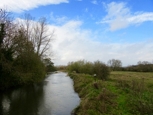
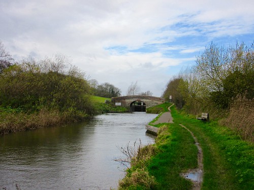
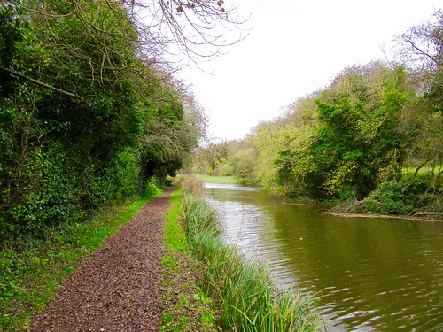
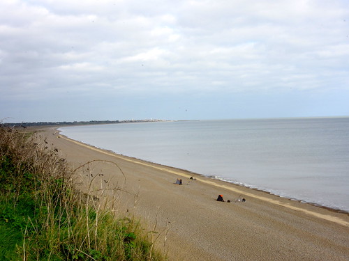
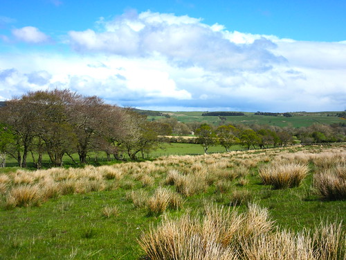
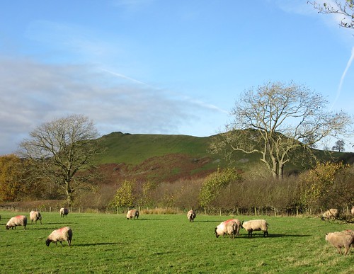
As the wind and rain pattered on our coats we took to an old drove road running across the open green uplands of Pawl-hir. Lumpy hills rose and fell along the horizons all round, every hillside with its loose white scatter of sheep. The Ithon reappeared, bouncing in glittering runs of water through the oakwoods below our homeward path, and a rainbow planted its foot in a pot of gold somewhere beyond Cefnllys.
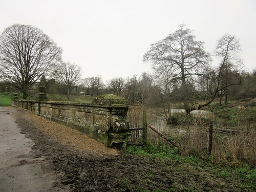
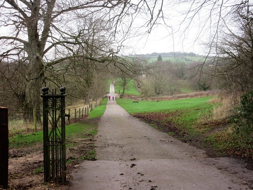
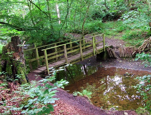
Start: Shaky Bridge car park, Cefnllys Lane, 2 miles east of Llandrindod Wells, Powys, LD1 5SR approx. (OS ref SO 085612)
Getting there: Cefnllys Lane is off A483 roundabout at the southern end of Llandrindod Wells, marked ‘County Hall’. Follow it east for 2 miles to Shaky Bridge car park.
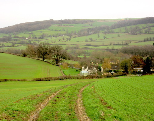
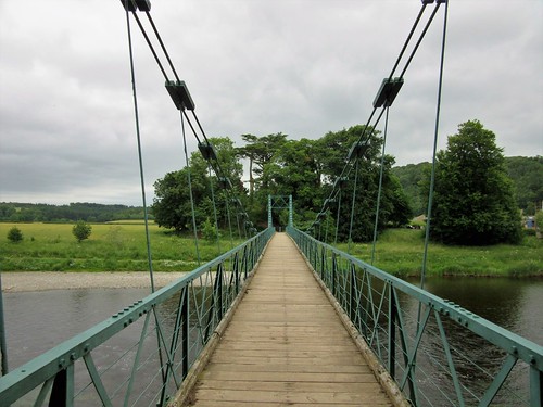
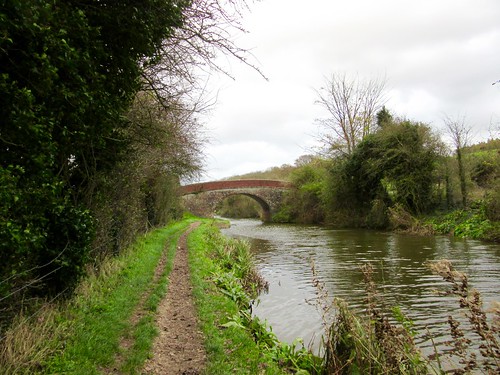
Walk (8 miles, moderate, OS Explorer 200): From car park, cross Shaky Bridge; uphill to church (085615). From east side of churchyard, aim across field to go through gate; left along green track. At Neuadd, left through gate (090618, yellow arrow/YA), skirting house to road. Left; in ¾ mile, opposite Cwm, right (099626, ‘bridleway’) through right-hand of 2 gates. Follow hedge on left; then down long field to River Ithon (105622); left along it to road (106622).
Right past Brynthomas (107620); in 250m, right (‘Hundred House’). In ½ mile, just past barn at Rhewl (113612), right through gate; past farmyard on right; on along green lane. In 200m fork left on green lane, continuing with overhanging trees on right. Through metal gate and on. 600m from Rhewl, pass through ruins of Trawsty (108609). Cross stream, and head a little left, keeping above and to left of house, to cross wooden fence/hedge, then field to gate into road (104608) at Upper Cwmbrith.
Left up road past Trawsty-bach (104607); on up bridleway (blue arrows/BA). In ¼ mile near Careg-grog, fork left through gate (104603, BA) along track. In another quarter of a mile, track bends left; but keep ahead on bridleway through gate (106599), descending slope with gully on right. In 500m you reach foot of slope, with scrub trees on right and patch of tussocky bog ahead. If bog is wet, bear left to join farm track and follow it to road, turning right for 400m to reach entrance to Bwlch-llwyn’s drive (113597) where bridleway meets road. If bog is dry, descend to cross deep, narrow ditch, then bog patch, aiming for conifer clump. Cross fence on far side of bog, then field, to reach road by conifer clump at entrance to Bwlch-llwyn’s drive (113597). Right along road; in 300m, on sharp left bend, keep ahead (111596, ‘Byway’). Follow byway west for 2 miles. Pass Pen-rhiw Frank (084600); descend slope; on left bend just before road, right through gate (082603, YA). Follow green lane with hedge on left, then in woods, north for ⅔ mile to Shaky Bridge.
Conditions: Field paths muddy; can be very wet. Wear hill-walking gear.
Lunch: Picnic
Accommodation: Metropole Hotel, Llandrindod Wells LD1 5DY (01597-823700, metropole.co.uk). Comfortable, long-established spa hotel.
Info: Llandrindod Wells TIC (01597-822600)