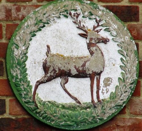
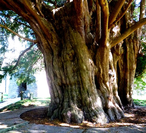
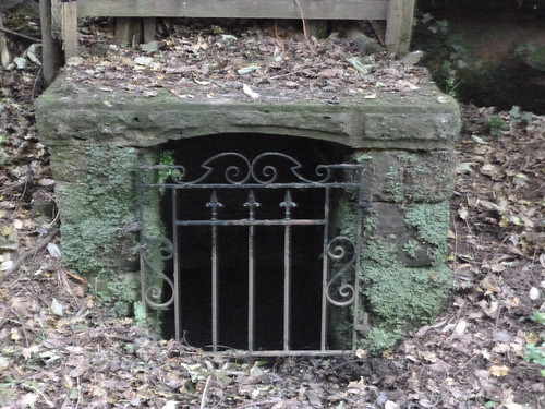
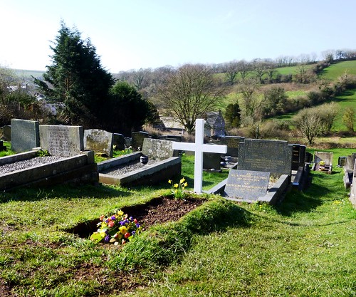
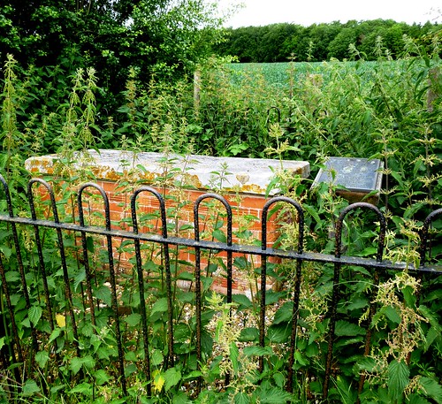
Mr William Liberty of Chorleywood, nonconformist brickmaker, died in 1777.
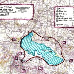
First published in: The Times Click here to view a map for this walk in a new window


Facebook Link:
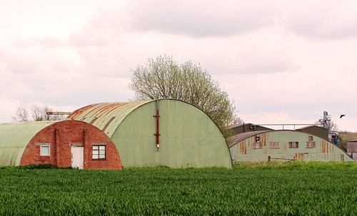
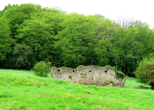
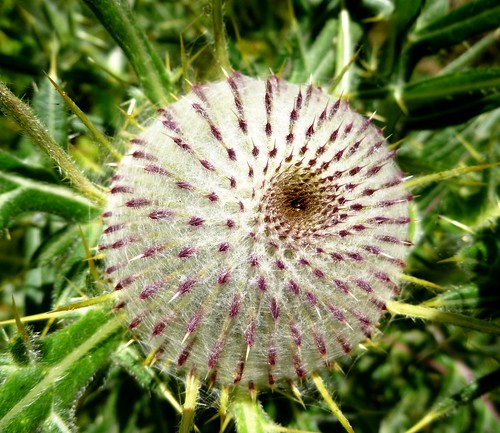
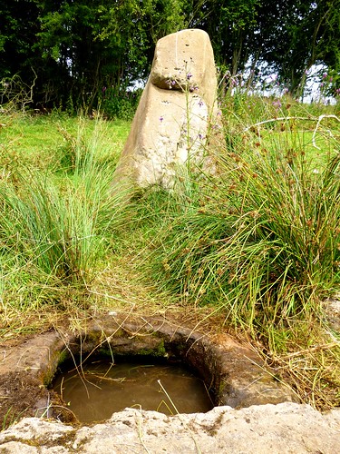
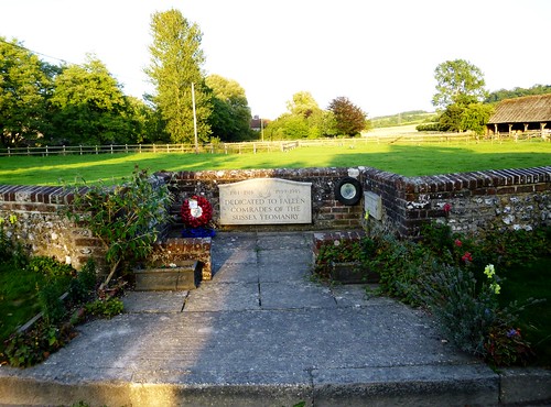
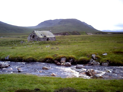
In his will he had categorically stated that he was not to be buried anywhere within the bounds of a church. His wife Alice was of the same mind. And so for well over two hundred years the freethinking and aptly named Liberties have lain in modest state in their brick-built tomb by the field path to Chenies Bottom.
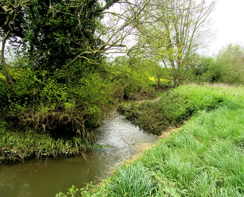
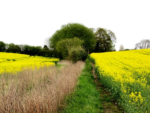
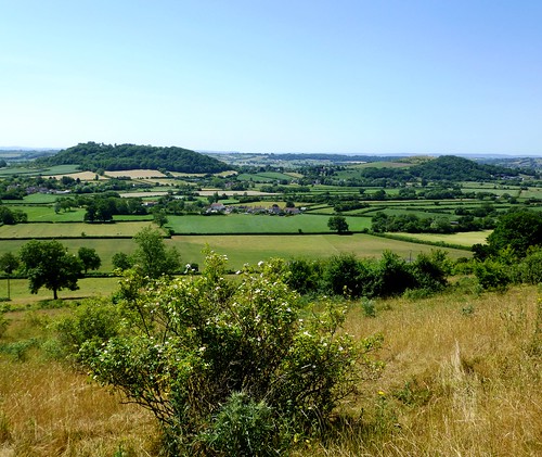
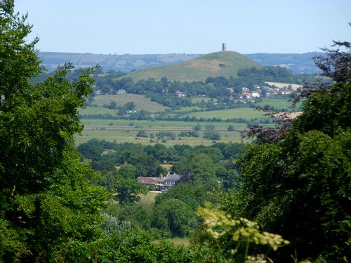
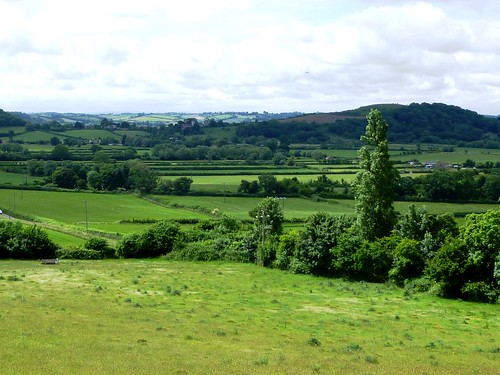
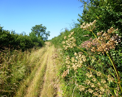
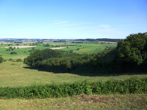
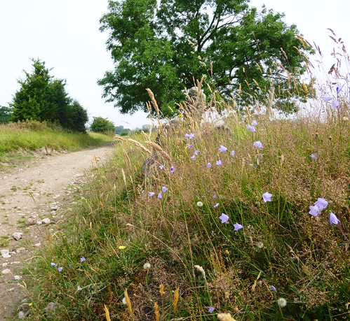
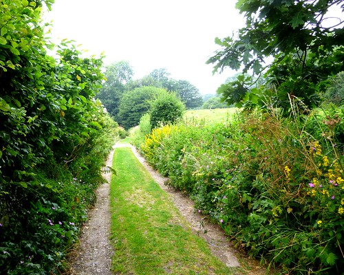
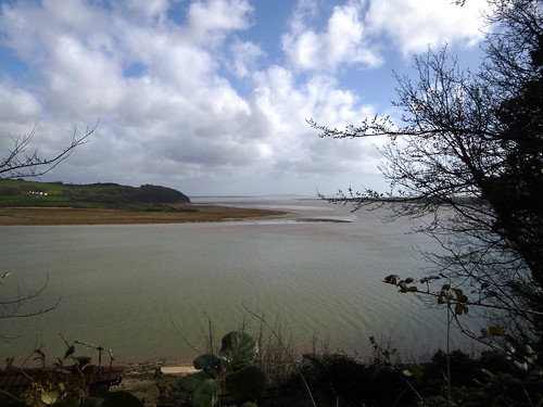
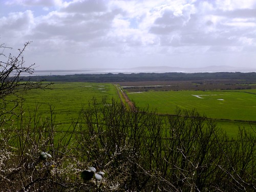
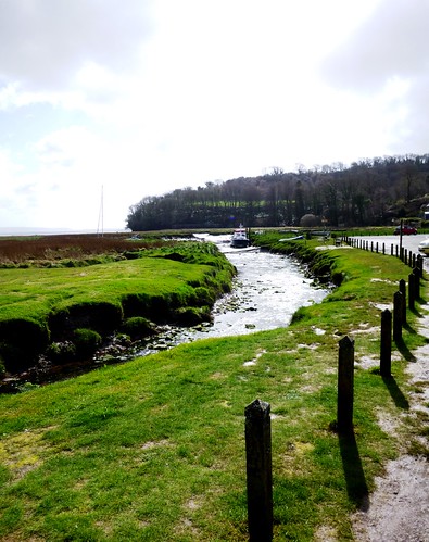
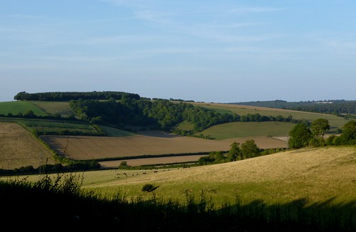
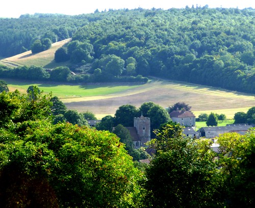
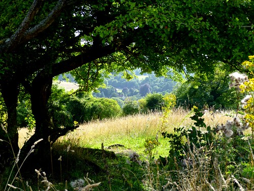
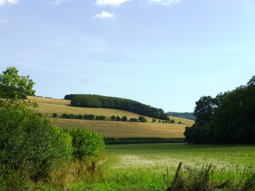
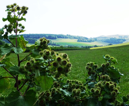
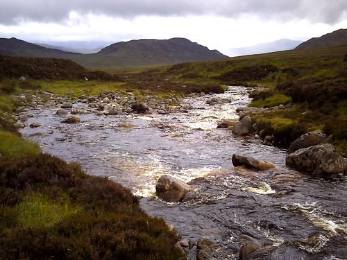
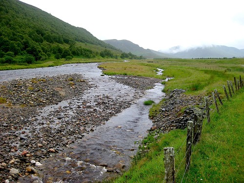
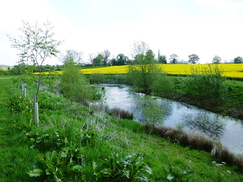
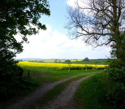
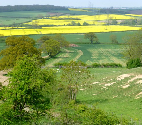
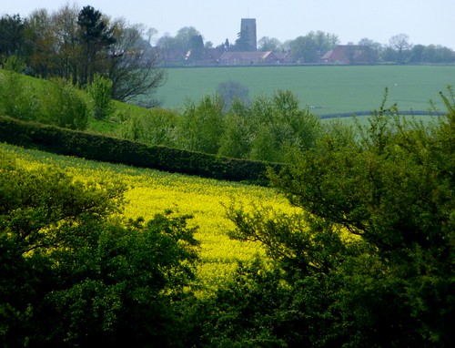
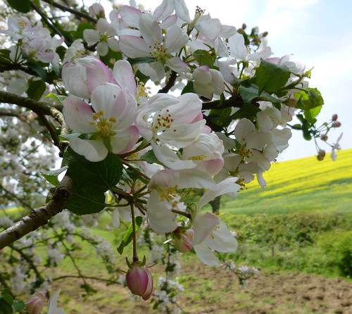
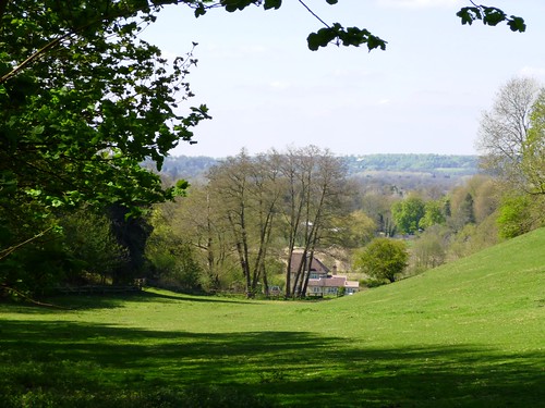
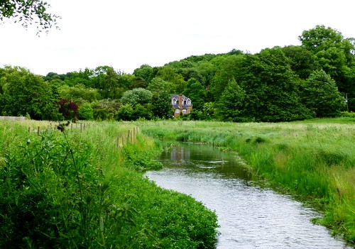
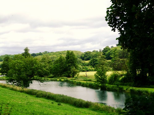
Passing the tomb, I wondered whether Mr Liberty would have sucked his teeth at last night’s Midsummer Music Festival – celestially beautiful music, sublimely played, within the bounds of Latimer’s Victorian church. There were certainly wings to my heels and tunes at the back of my head as I followed the Chess Valley Walk through head-high grasses and champagne-scented elderflower blossom, past Mill Farm and on to Tyler’s watercress farm at the ford on Holloway Lane. The dimpling Chess, a gin-clear stream over a clean gravel bed, raises wonderful crops of cress, and a couple of pounds secured me a crunchy and eye-wateringly peppery bunch to chew as I went on over the fields to Holy Cross Church at Church End.
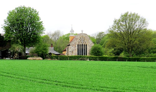
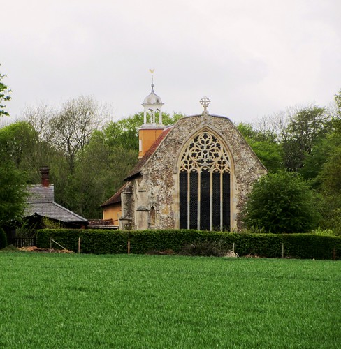
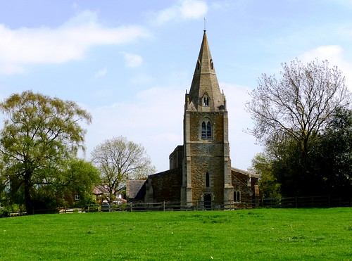
Maybe William Liberty could have found it in him to approve the craftsmanship, if not the location, of the 14th-century paintings under the dark timber roof of Holy Cross. Here are a slim young Virgin astonished before the angel Gabriel and his remarkable news, a shepherd carrying a lamb to Bethlehem, and a musical angel blowing a celebratory blast on a shawm with twin pipes.
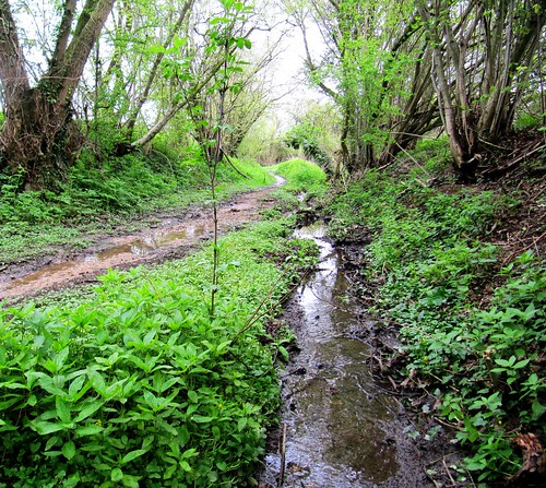
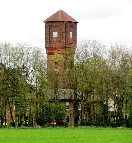
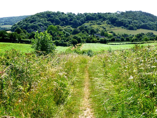
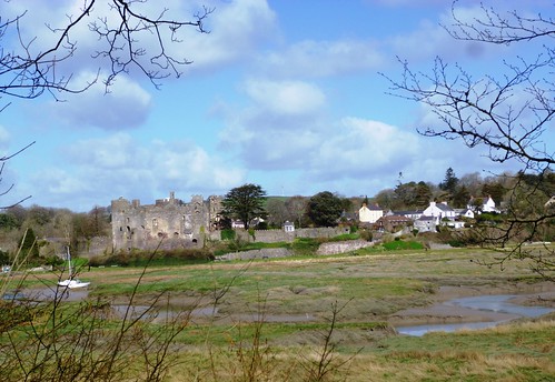
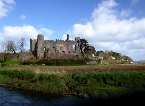
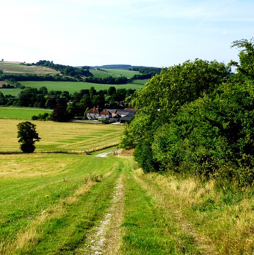
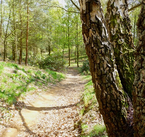
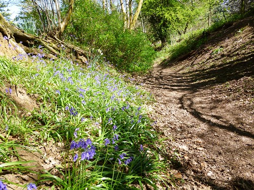
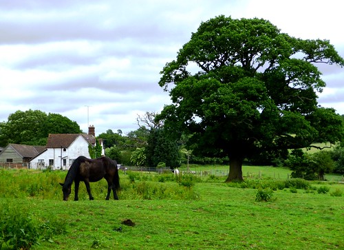
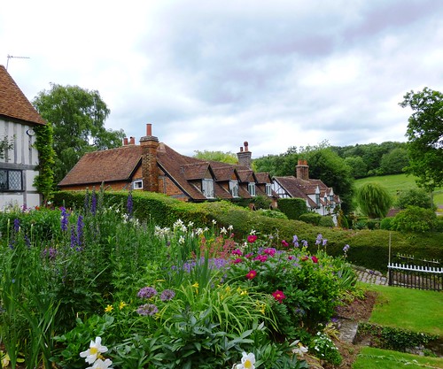
Back down the field slope, and on west across the Chess on a lush wet path where every step was a squelch, then up under the green shade of hornbeam and bird cherry into Chenies village. History lies thick on the great Tudor mansion of Chenies Manor where King Henry VIII still walks at night, a limping ghost.
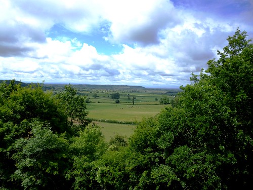
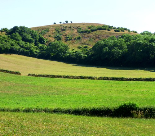
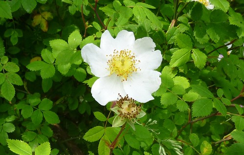
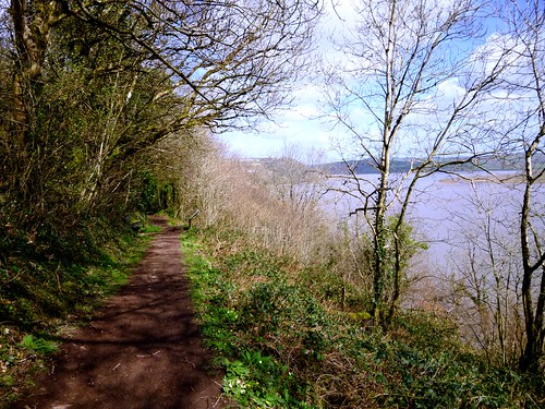
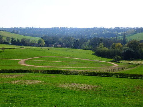
In the adjacent church, generations of Russells, Dukes and Duchesses of Bedford, lie entombed. I found something a little oppressive about the pomp and grandeur of the monuments looming in the Bedford Chapel. It was a relief to be out under the cool grey sky again, walking the ridge path back to Latimer and looking across the river valley to where the Liberties lay free and easy among the nettles and dogroses.
Start: Chalfont & Latimer tube station, Bucks, HP7 9PR (OS ref SU 997975).
Getting there: Metropolitan tube, or A404 to Little Chalfont
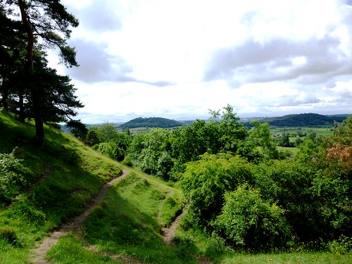
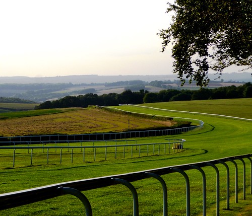
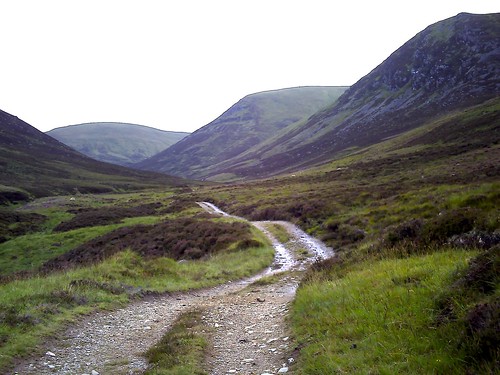
Walk (7 miles, easy, OS Explorer 172): Down station road; left along Bedford Avenue; right up Chenies Avenue (996976) to where it bends left into Beechwood Avenue (996981). Ahead here down gravel path into woods. Cross over waymarked junction; ahead downhill (yellow arrow/YA) to bottom edge of wood (998983). Right to kissing gate; left down field; across road (999985), then river (000986). Immediately right through gate (YA), to cross field and road (004987; ‘Chess Valley Walk’/CVW, fish waymark). Follow CVW east for 1¾ miles via William Liberty’s tomb (009988), Mill Farm (014988) and Tylers Watercress Farm watercress beds (026990) to road (031990). Right; in 250m, round left bend; in 70m right over stile (033989; ‘Sarratt Church’); follow YAs/stiles to Holy Cross Church and Cock Inn (039984).
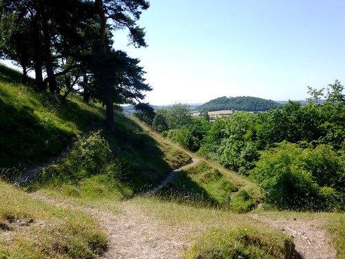
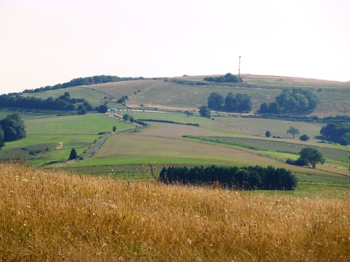
Leave churchyard through south gate opposite almshouses; right through kissing gate; path down to valley bottom (035981). Right over stile; cross fields, then left (034984) across River Chess and stream beyond (NB path often flooded and muddy!). Before reaching woods, path forks 3 ways; take middle path to go through gate (032983, ‘Chiltern Way’/CW) and on along CW through Turveylane Wood and Wyburn Wood for ¾ mile to road (021980). Right into Chenies; cross village green; up gravelled path (ignore ‘Private’ notice) past church (016983). At Chenies Manor gate, right (‘circular walk’ YA). Descend into woods. In 200m, at tree with 3-headed arrows (015985), left along top edge of wood; on along ridge track. Dogleg right and left across Stony Lane (005982); ahead for ½ mile to waymarked junction (997981, BA, YA); left to Chenies Avenue and tube station.
Lunch: Cock Inn, Sarratt (01923-282908; cockinn.net)
Accommodation: Latimer Place, Latimer, HP5 1UG (01494-545500; deverevenues.co.uk)
Chenies Manor: tours 01494-762888; cheniesmanorhouse.co.uk
Midsummer Music Festival, Latimer: 13-15 June 2014; 01494-783643, midsummermusic.org.uk