Jan 252014
 

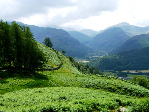
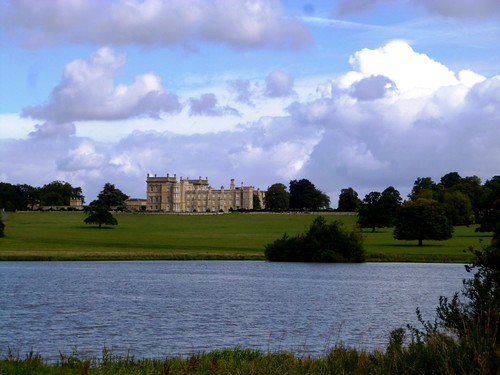
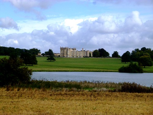
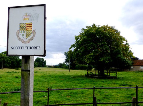
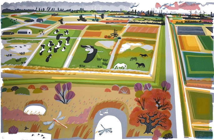
Arlingham lies isolated, out near the tip of a peninsula in a great bend of the Severn south of Gloucester, where the river begins to widen in its sinuations towards Bristol and the Severn Estuary. First published in: The Times Click here to view a map for this walk in a new window
picture picture picture picture picture picture picture picture picture picture picture picture picture picture picture picture
Facebook Link:

When the residents discovered that Arlingham’s much-loved pub, the Red Lion, was to be sold at auction at 48 hours notice, they didn’t sit and mope – they rushed round, raised £350,000 in the space of two days, and bought the place. Everyone pitched in to refurbish it, and they got the place open again PDQ. That’s how much the village pub means to this little community at the end of ‘the longest cul-de-sac in Britain’.

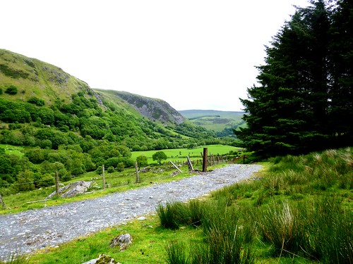
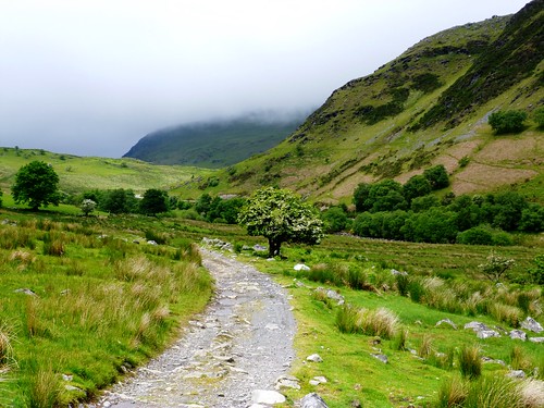
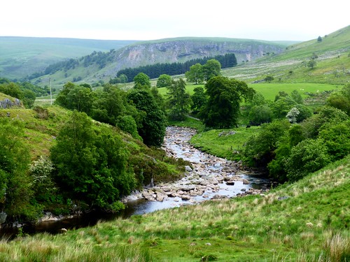
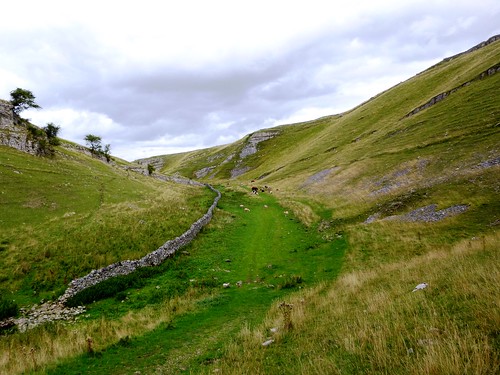
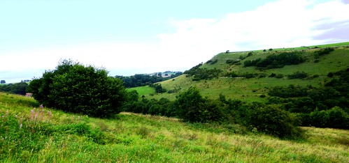
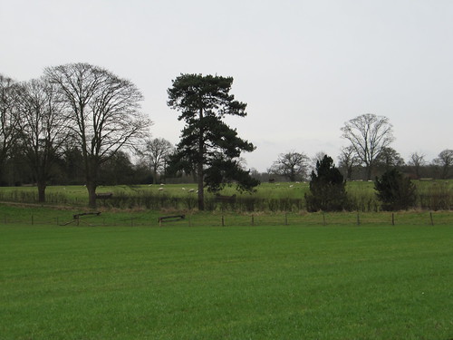
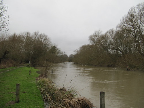
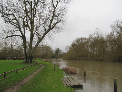
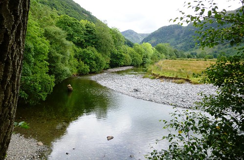
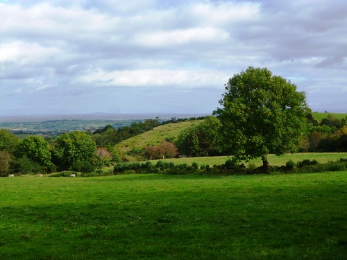
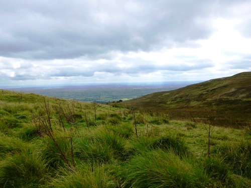
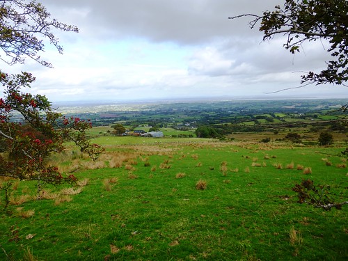
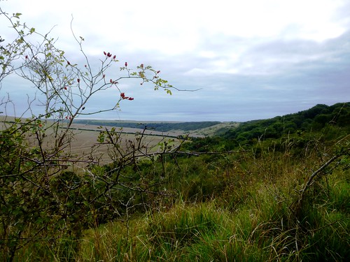
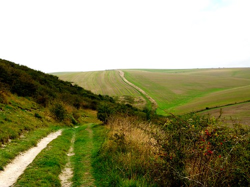
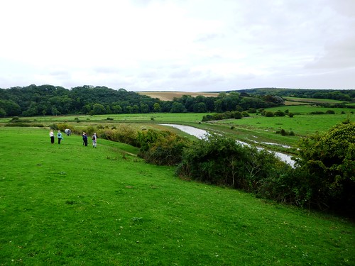
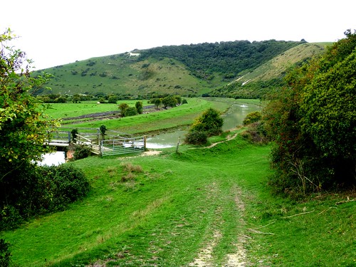
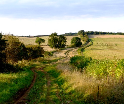
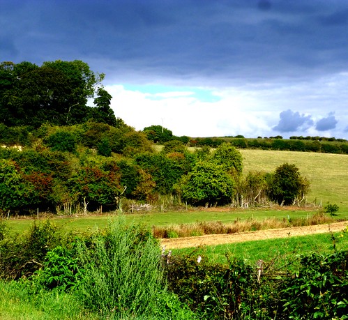
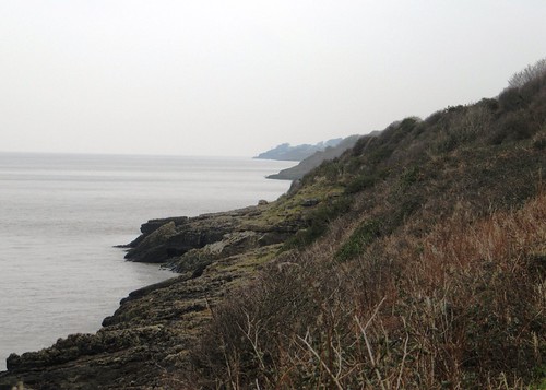
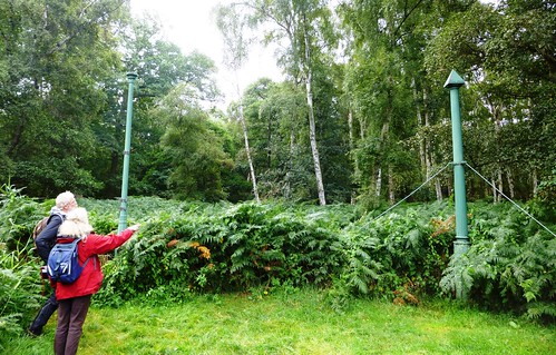
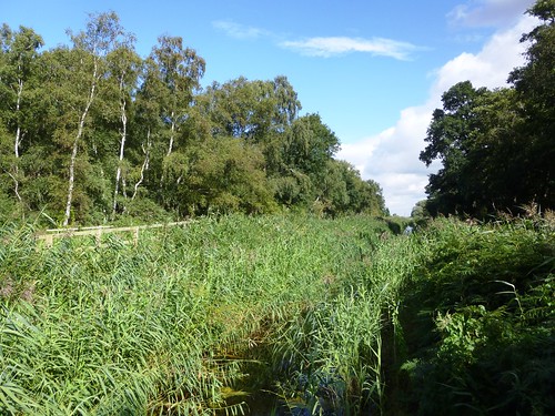
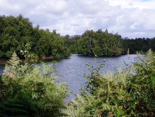
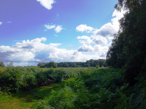
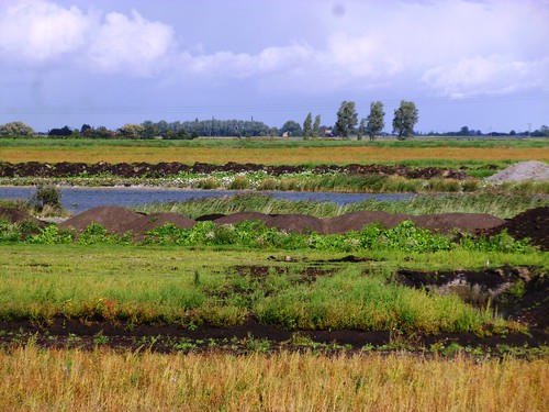
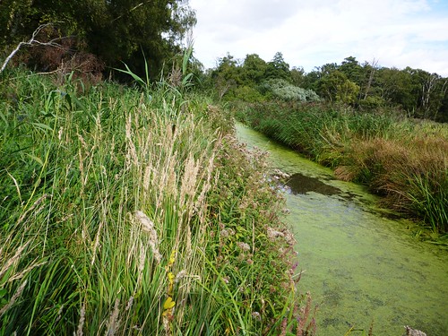
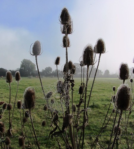
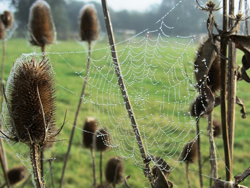
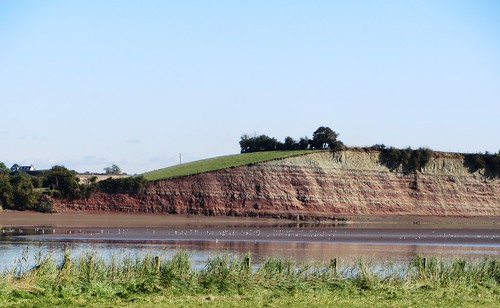
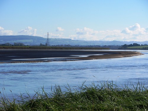
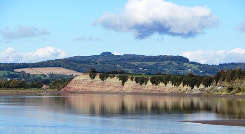
The low countryside lay blanketed in mist when we set out south across the peninsula from Arlingham. There’s always a thrill when you approach the Severn hereabouts, hidden as it is beyond the loom of the river wall. The village lies a good twenty miles upriver of the old Severn Bridge, but the Severn is still tidal this far inland, and there’s no knowing what you’ll find when you climb the bank – a mighty tideway, fast-moving and chocolate-brown, or a hollow plain of mud and sand banks where oystercatchers and black-headed gulls excavate the tidelines. A rush and suck of turbulent water told us it was high tide even before we topped the grassy wall to find the channel full and the river already beginning to ebb seaward.

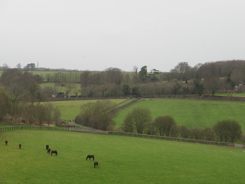
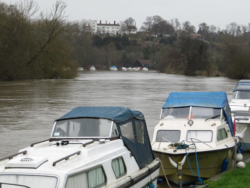
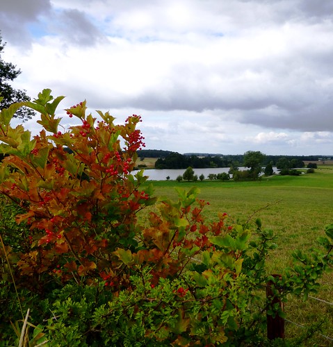
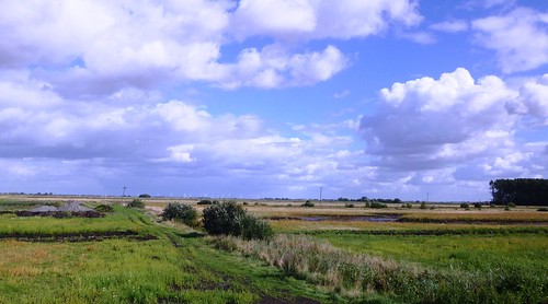
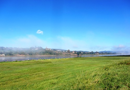
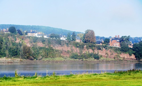
Friendly horses came up to have their soft faces stroked. The mist shredded away into a china-blue sky, and by the time we’d rounded the bend we could make out the white houses of Newnham riding the crest of their arc of tall red cliffs on the far bank of the Severn. Sand spits in mid-river began to roll clear of the falling water, exposing whole trees stuck fast on their timeless journeys to the sea. On one shoal we saw a man walking his dogs between opposing eddies, and wondered how he’d got out there.

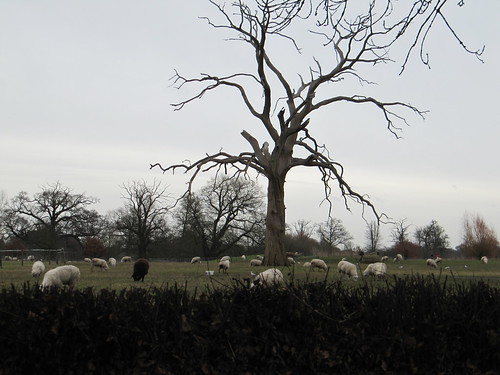
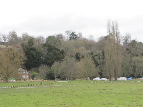
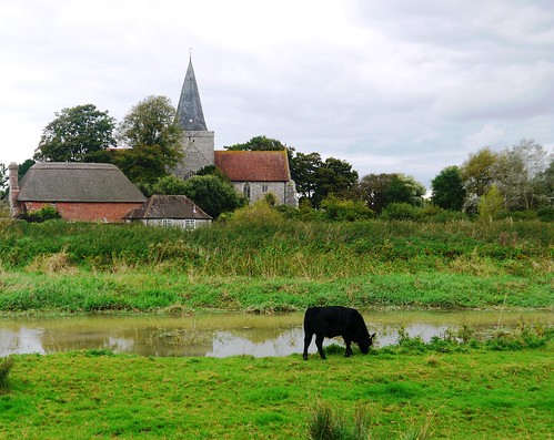
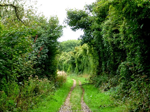
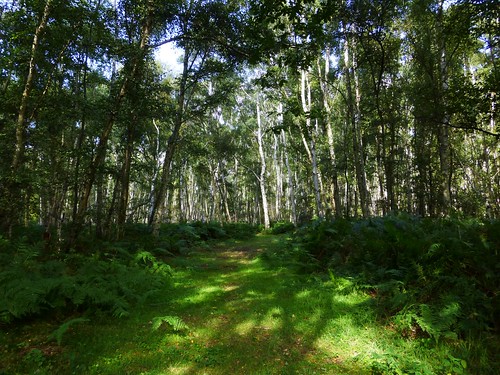
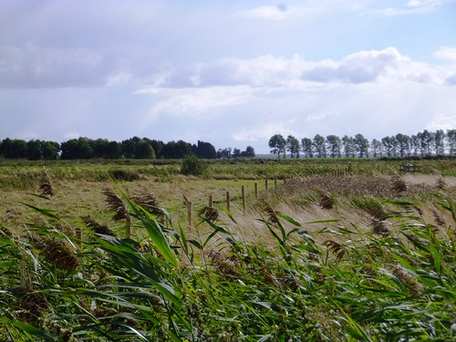
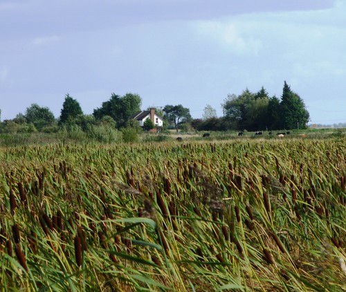
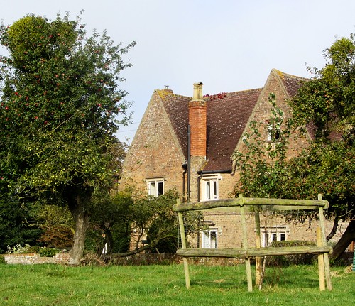
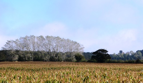
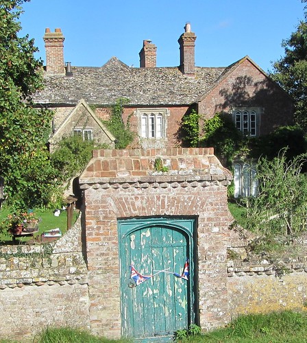
Midday struck from Newham church tower, the bell notes echoing across the water. We turned reluctantly from the river and made our way back to Arlingham across fields corrugated with medieval ridge-and-furrow, the hollows gleaming like silver where the low winter sun caught the clumps of rushes that grew there. Past handsome old Slowwe House (the only name in the world with two adjacent ‘w’s?), and into the Red Lion to celebrate its community-led renaissance with a little smackerel of something.

Start & finish: Village car park, Arlingham, Glos GL2 7JN (OS ref SO 707109)
Getting there: M5, Jct 13; left on A419 to A38; left for ½ mile; right on B4071 to Frampton-on-Severn; minor road to Arlingham.
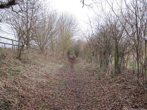
Walk (6 miles, easy grade, OS Explorer OL14. NB: Online map, more walks: christophersomerville.co.uk): Left to Red Lion PH; right along Church Road. On right bend just past Westend Farm, ahead through gate (707103; ‘Severn Way’/SW). Stony track between fields to river (706099). Right on SW beside river for 4 miles. Two fields before reaching pylon, with grey sluice box on left, go through kissing gate (723115). Right (‘footpath’ pole) up track; in 70m, right through kissing gate (yellow arrow/YA). Follow path west across fields (footbridges, kissing gates, YAs) with hedge on right for ½ mile to road by pond (715113). Fork right for ¼ mile past Slowwe House and Slowwe Cottages to T-junction (712115). Go over; bear left down grassy lane (‘Restricted Byway’) to car park.

Lunch: Red Lion, Arlingham (01452-740700; redlionarlingham.co.uk) – cheerful, cosy village pub

www.ramblers.org.uk www.satmap.com www.LogMyTrip.co.uk visitengland.com

 Posted by at 06:07
Jan 182014
 

When Queen Elizabeth II came to the Elan Valley in October 1952 to open the brand-new Claerwen Dam, she was a young woman of 26, only eight months into her reign. First published in: The Times Click here to view a map for this walk in a new window
picture picture picture picture picture picture picture picture picture picture picture picture picture picture picture picture picture picture picture picture picture picture
Facebook Link:
The enormous Claerwen Reservoir completed a hand of five here in the hilly heart of Wales – the others had been built when Elizabeth’s great-great-grandmother was still on the throne. Today the five resemble natural lakes. It seems as though they must always have been here, snaking their way gracefully at the feet of the hills.

Thick mist was settling in along the hilltops as we splashed across a succession of silvery cascades and took the stony hill track from Claerwen Reservoir up to the shallow pass at Cefn Llanerchi. The cool air gently stirred sedges and dried thistle heads. A stonechat with bold white eye-stripes and peach-pink throat perched at the uppermost point of a sprig of gorse and cried, ‘Wheesh-tsk-tsk!’ Moorland rills coursed down the wet peaty slopes in scribbles of silver.

Out in the squelchy grassland beyond the pass stood a stone row – two monoliths roughly shaped into slabs, two massive boulders alongside, and a standing stone five feet tall. Who thought it worthwhile to align them up here five or six thousand years ago, and why? There’s no knowing – but the view was beautiful, even under the mist, a keyhole glimpse of the screes, crags and high slopes cradling Garreg-ddu Reservoir.

Down through a sweet-smelling conifer plantation among rain-polished liverworts and mosses, with Caban-coch reservoir lying below, and then on along a bumpy and puddled old track beside the loudly rushing Afon Claerwen. Two red kites circled high over Rhiwnant Farm, where black cattle were enjoying their last graze of the year before the farmer put them under cover for the winter. A tough old ewe perched precariously on top of a stone wall, cropping whatever greenery she could find among the roots of a hazel hedge.

Big slugs crawled through the wet grass of the bog, making the most of the moist afternoon, their black bodies shining as though encased in PVC. Back at Claerwen Reservoir, we crossed the river and climbed up beside the great dark dam wall once more.

Start: Claerwen Dam upper car park, Elan Valley (OS ref SN 871636).

Getting there: Bus T57 (pre-book on 01597-810666), Rhayader to Elan Valley Visitor Centre
Road – A44/A470 to Rhayader; B4518 through Elan Village and on; in 1 mile, left across dam (‘Claerwen’); in 4 miles, fork right to upper car park.

Walk (9 miles, moderate, OS Explorer 200. NB: online map, more walks at christophersomerville.co.uk): Return down road. At fork, left. In 100m, left (877630, bridleway fingerpost); follow bridleway (occasional blue arrows/BA) up past masts (899636). Detour SE to stone row (905631); return to gate at corner of plantation (903635). Woodland track (occasional BA) descends for ⅓ mile to track crossing (908636). Right; follow track for 1½ miles, out of wood and down to road (904617). Right for 300m; left by phone box, over bridge. Right by barns (901615, bridleway fingerpost) along minor road. At Rhiwnant, right (895617, cycleway arrow) on stony lane. In 300m fork right and keep near river for 2 miles to Cerrigcwplau Farm by Claerwen Dam. Cross stream by footbridge (869633); cross river by road bridge. Though metal kissing gate opposite (870634); path up to upper car park.

Lunch: Picnic. Tea: Elan Valley Visitor Centre

Accommodation: Elan Valley Hotel, near Rhayader, LD6 5HN (01597-810448; elanvalleyhotel.co.uk) – very friendly; ace chef!

Information: Elan Valley Visitor Centre, LD6 5HP (01597-810898; elanvalley.org.uk) – ranger service, walks, etc.

www.ramblers.org.uk www.satmap.com www.LogMyTrip.co.uk visitwales.com

 Posted by at 09:00
Jan 112014
 

Litton lay stretched like a sleepy cat along its lanes; a grey stone village, typical of the Derbyshire uplands, in the embrace of green pastures and loosely knit stone walls. First published in: The Times Click here to view a map for this walk in a new window
picture picture picture picture picture picture picture picture picture picture picture picture picture picture picture picture picture picture picture picture picture picture picture
Facebook Link:
It had been too long since I’d had a good day’s walking with my London-based daughter Ruth. Crossing the fields and dropping south into the curving cleft of Tideswell Dale, we chatted away nineteen to the dozen, catching up on each other’s lives.

It’s small wonder that the Peak District is so tremendously popular with walkers, especially the very beautiful and spectacular dales or water-sculpted canyons that burrow their way through the pale grey limestone of the White Peak district. History doesn’t relate whether these strikingly beautiful surroundings were of any comfort to the 19th-century workers – some of them small children – who slaved away in the textile mills in the dank and cold dale bottoms.

In Miller’s Dale we crossed the River Wye beside the mill-workers’ terrace cottages and climbed the steep bank of Priestcliffe Lees, where young Friesian heifers put their rubbery noses over the wall to sandpaper our fingers with glutinous yellow tongues. At Brushfield the old farm-children’s school stood high among stone cottages with massive lintels, looking down into the tree-choked canyon of Taddington Dale.

Down in Monsal Dale we picnicked on a grassy shelf by the gurgling Wye, and then followed the old Buxton-Matlock railway line – now a superb cycleway – into Miller’s Dale, where Cressbrook Mill stood huge and handsome in the throat of the valley. The Brewstop Café behind the mill is run by three siblings (the oldest is 14), and their tea and cakes are a walker’s dream.

In Cressbrook Dale, up where the cleft opens grey rocky lips to the sky high overhead, a great outcrop of limestone hangs over the path – Peter’s Stone, where the bodies of executed felons were once hung in a gibbet as a terrible warning to all. Today, as we turned back along the rim of the dale towards Litton, the dark stain of the past seemed cleaned away by the low evening sun that washed the rock in a flood of gold.

Start: Red Lion, Litton, near Tideswell, Derbyshire, SK17 8QU (OS ref SK 164752)
Getting there: Bus – 173, 65, 66 (Buxton – Tideswell). Road – Litton is signed off A623 Peak Forest – Baslow road at Wardlow Mires near Tideswell
Walk (12 miles, moderate, OS Explorer OL24): From Red Lion, left along village street. Pass ‘Cressbrook’ turning; in 50m, right, then left over stone stile (166751). To far left corner of field; right along lane to road (165749). Ahead to left bend; over stile (fingerpost); follow field path/stiles to cross road (161748). On down to road (160749); left to B6049 (155748). Left for 20m; left through gate; follow wall beside road, past car park (154742) and on along Tideswell Dale. Left at ‘Quarry’ sign (154740) to quarry (155738); follow ‘Concession Path’ to steps back into dale bottom (155736). Left for ½ mile to road in Miller’s Dale (157731).
Left to cottages at Litton Mill; right (159730, ‘Monsal Trail to Miller’s Dale’) across river and up dale side. Cross Monsal Trail (158730); up steps by bridge, left over stile; up path (‘Priestcliffe Lees’), following yellow arrows/YAs. At top, through lumpy mining ground, following left-hand wall to turn left over stile (154725, YA). Right to stile into stony lane (153723). Left for ¾ mile to Middle Farm. At T-junction, left (159715, ‘Monsal Dale’). In ½ mile pass fingerpost (167717, ‘Upper Dale’), in 100m, right (‘Lees Bottom, White Lodge’) to farm track; follow it to farm (167712). Follow ‘path’ sign/YAs onto stony track beyond barn. In 200m, left (168710; fingerpost) over stile; follow stepped path down into Monsal Dale. At bottom, left (171708, ‘Monsal Head’) for 1¼ miles to viaduct (181716).
Left along Monsal Trail for nearly 1 mile. At mouth of Cressbrook Tunnel, right through gate (172724, ‘Cressbrook’) on path descending to cross river beside weir (172728). Bear right on path past Brewstop Café and Cressbrook Mill. At road, left; fork right (‘Cressbrook, Litton’); in ¼ mile, fork right (171732, ‘Ravensdale’). Pass Ravensdale Cottages (172737); in ¼ mile go through gate marked ‘Cressbrook Dale’ (172741); in 100m fork left and follow dale bottom for 1½ miles past Peter’s Rock to A623 (180756) at Wardlow Mires (NB 3 Stags’ Head PH to right). Left along A623 for 100m; left (stile, ‘public footpath’) up field wall to cross stile (177756); across field to cross stile; right up wall to road (173754); left into Litton.
Lunch: Brewstop Café, Cressbrook (weekends, school holidays); 3 Stags’ Heads, Wardlow Mires (01298-872268); Red Lion, Litton (01298-871458).
Accommodation: Cheshire Cheese Inn, Castleton, S33 8WJ (01433-620330; cheshirecheeseinn.co.uk) – bustling, cheerful place.
Info: Bakewell TIC (01629-816558); visitpeakdistrict.com;
www.ramblers.org.uk www.satmap.com www.LogMyTrip.co.uk visitengland.com

 Posted by at 01:41
Jan 042014
 

Hurley lies modestly beside the River Thames a little west of London, a quiet village of handsome red brick houses. First published in: The Times Click here to view a map for this walk in a new window
picture picture picture picture picture picture picture picture picture picture picture picture picture picture picture picture
Facebook Link:
The single road ends just before the river at the remnants of a Benedictine priory – church, house and barn made of flint, infilled with that soft blocky building chalk known as clunch.

Jane and I set out under a sky opaque with cold milky light. A scraping of snow clung to the field slopes. Big burly sheep cropped the grass, their fleeces dark with winter mud. Under the sycamores and beeches in High Wood at the top of the down, little Eeyore-stile shelters of propped-up sticks showed where local children had been hiding out in their own make-believe world.

A horse-gallop forty feet wide led like a green highway towards thickly wooded Ashley Hill, where bare trees stood knotted with mistletoe clumps. A stripped-back, skeletal landscape, as thin and stark as this midwinter season. By contrast we found the chimney of the Dew Drop Inn smoking cheerfully. The secluded pub, tucked down in its dell, exuded a seductive smell of burning beech and hazel logs. What a siren note a good pub fire sings out to winter walkers. We stepped inside out of the cold air and spatter of rain, and found soft lamplight, low chatter and the growl of sweet soul music on the sound system. A quick one, eh?

Back outside in a nipping wind we went on along a muddy bridleway that wound through green wooded country, gently rolling, generously wooded. From a nature reserve coppice we got a stunning view out over a swooping field where seven dark horses walked slowly in line abreast up the slope, tossing their heads conversationally together. On the squared-off stump of a fence post lay the greeny-white skull of a squirrel, clean and feather-light, the tremendously long incisors seeming too large for the narrow face structure.

Down in the valley the River Thames ran snow-swollen and brassy brown, a muscular arm of water flexing towards London and the sea. We followed it back to Hurley past willow-smothered eyots or islets, on through flooded meadows where Canada geese sailed with dignity and black-headed gulls screeched over their feast of drowned insects like greedy clubmen over the port and stilton.

Start: Hurley village car park, High Street, Hurley, SL6 5NB approx. (OS ref SU 825840)

Getting there: Bus service 239 (courtneybuses.com), Henley-Maidenhead
Road – Hurley is signposted off A4130 between Maidenhead and Henley-on-Thames

Walk: (5½ miles, easy, OS Explorer 172. NB: online map, more walks: christophersomerville.co.uk): From car park, right along village street to cross A4130 (827831). Ahead up fenced path. At top of rise, ahead (828827) through High Wood, then on along horse gallop (yellow arrow/YA). In 600m cross track (828820); ahead (YA) across field and along green lane past Ladyeplace to road (828815). Right; follow ‘Dew Drop Inn’ past end of Honey Lane (825815). In 250m, right (823814; ‘Knowl Hill Bridleway Circuit’/KHBC) past Dew Drop Inn. In 400m, left at T-Junction (822818; KHBC). In 400m, right (818817) along track. In 600m, enter Nature Reserve (813819). At far end KHBC turns left (813822), but go right here (‘bridleway’) for ½ mile to cross A4130 (812830). Down Blackboy Lane to River Thames (810835). Right on Thames Path for 1¼ miles. At tall footbridge (825842), right to car park.

Lunch: Dew Drop Inn, Batts Green, Honey Lane (01628 315662; dewdrophurley.co.uk) – cosy, warm and welcoming

Info: Maidenhead TIC (01628-796502);

www.ramblers.org.uk www.satmap.com www.LogMyTrip.co.uk visitengland.com

 Posted by at 08:20
Dec 212013
 

A warm and muggy morning in Borrowdale, with low cloud brushing the hilltops and the weatherman muttering of downpours and thunderstorms.
First published in: The Times Click here to view a map for this walk in a new window
picture picture picture picture picture picture picture picture picture picture picture picture picture picture picture picture
Facebook Link:

The side dale of Langstrath was full of the bleating of Herdwick sheep, white-faced with blue-grey coats, the black-coated and black-muzzled lambs stolidly chewing alongside their dams.

From the fellside above Stonethwaite we climbed steeply away through oakwoods, the stepped and stone-flagged path rising under trees mottled with gleams of sunshine, rags of blue and smears of grey sailing overhead among the branches. Willygrass Gill tinkled and rustled down a narrow channel of gleaming black rocks, the water falling in a succession of leaps, jumps and pauses for reflection in still pools. We sat to watch a jay hopping from branch to branch, roguish in chestnut, black and white with a flash of blue – a handsome and swaggering buccaneer of a bird.

At the treeline the view opened tremendously, a stand-and-gasp moment – the steep converging clefts of Greenup Gill and Langstrath under their twin crowns of Eagle Crag and Heron Crag, and away in the west the enormous eroded cliffs that hang ominously over Honister Hause and its slate mine workings, the old tramway running straight as a die up the hill behind and the road snaking steeply down into Borrowdale.

Dock Tarn lies sheltered in a ring of little craggy hills. The water lily blooms were out, white crowns scattered on green mats of leaves. The tarn lay perfectly still, emitting a faint shimmer as the wind crumpled the wavelets around a rocky islet crowned with a handful of rowans.

You could stay all day in such a place, searching for frogs and orchids, dreaming your dreams. Eventually the stony path called us on, through a pass and down over a broad rushy upland, gold-spotted with bog asphodel and heavy with the scent of wet peat and sun-warmed bog myrtle. We came down to Watendlath Farm along the shore of Watendlath Tarn where families were swimming and picnicking. We could have murdered a cuppa there, but the cosy-looking tearoom was cash only, no cards. Hellfire and damnation!

A rough and rocky old bridleway leads over from Watendlath to Borrowdale, with classic lakeland views ahead over the green meadows of the flat-bottomed dale to the heights of the Borrowdale Fells. Down in Rosthwaite, before setting back to Stonethwaite, we looked into the Royal Oak. I did my first ever Lake District walks from this little inn when I was fifteen. My boots bit into my heels, I was sulky with my Dad and sore-legged each morning, but it instilled a love of these enchanting hills that has never gone away.

Start: Langstrath Hotel, Stonethwaite, Borrowdale, Cumbria CA12 5XG (OS ref NY 263137)

Getting there: Stonethwaite is signed off B5289 Borrowdale road just south of Rosthwaite (Arriva Bus Service 77, 78).

Walk (6 miles, moderate/hard, OS Explorer OL4. NB: online map, more walks at christophersomerville.co.uk): From Langstrath Hotel, right along road. Right (‘Greenup Edge’) across beck; right (‘Greenup Edge’); in 200m, left (265137, post with yellow arrow) up slope. Cross stone stile in wall (268136); very steeply up through woods, then across moorland to Dock Tarn (274143). Continue north on good stony track for 1½ miles to Watendlath (274163). Right across bridge to tearoom, or left (‘Rosthwaite’), following signs to Rosthwaite. At bridge (259150), right into village, or forward (‘Stonethwaite’) to Stonethwaite.

NB – steep climb through woods below Dock Tarn!

Lunch/Accommodation: Watendlath tearoom (cash only!); Langstrath Hotel, Stonethwaite (01768-777239; thelangstrath.com) – lively, friendly country inn

Information: Keswick TIC (01768-772645)

www.ramblers.org.uk www.satmap.com www.LogMyTrip.co.uk visitengland.com

 Posted by at 07:40
Dec 142013
 

Slieve Gallion was Seamus Heaney’s home mountain, a bulky familiar in the childhood countryside that shaped his poetry, ‘one of the dream boundaries of my imagination’ as he put it himself.
First published in: The Times Click here to view a map for this walk in a new window
picture picture picture picture picture picture picture picture picture picture picture picture picture picture picture picture
Facebook Link:
But today I found it hard to see the mountain clearly. Heaney had died less than a month ago, and my head was crammed to spilling point.

Yesterday at Laurel Villa, Magherafelt’s own House of Poetry, the ‘On Home Ground’ poetry festival had turned into a wake and thanksgiving for Ireland’s greatest poet since W.B. Yeats, Nobel Laureate and local boy. Everything seemed Heaney-coloured this cloudy midday on Slieve Gallion: the blue-fingered spruce trees, the birdsong in Iniscarn Forest, the tin-roofed farms and sedgy fields that he so brilliantly brought to new life with his pen, ‘snug as a gun’.

A long muddy track carried us up through the forest, where long-tailed tits sent their needly thin cries through the treetops. Up near the crest of the hill we broke out of the spruce and pine into open country. A path beaten into the heather led to the summit cairn, a solid flattened dome of stones, burial place of Callan, grandson of one of the High Kings of Ireland 1700 years ago.

We stood by Callan’s grave, savouring the hundred-mile view. In the east, Heaney Country lay along the shores of cloud-like Lough Neagh – the green meadows around the poet’s birthplace of Mossbawn, Church Island’s spire beside Lough Beg, Castledawson and Magherafelt. Away beyond, Slemish Mountain, a pale grey cardinal’s hat under cloud; the Mourne Mountains sharp and clear in the south; and in the west the whole graceful spine of the Sperrin Hills, green and grey, with tiny fields raked up in converging lines of hedges rising toward their foothills.

A curling tarmac road led down from Slieve Gallion’s peak, handing over to a rough farm track that descended through the rushy fields of small farms with rain-faded green corrugated barns. No grand images or thundering metaphors here today, but drifts of Heaney’s lines going in and out of the mind, along with a snatch of the beautiful old air of ‘Slieve Gallion Brae’:

‘May good fortune shine upon you when I am far away,
And a long farewell to bonny, bonny Slieve Gallion Brae.’

Start: Iniscarn Forest car park, near Desertmartin, Magherafelt, Co Derry (OS NI ref H832908)

Getting there: A6/A31 to Magherafelt, B40 to Desertmartin; B40 towards Draperstown. In 3 miles, left at crossroad up Iniscarn Road. Parking place on right in 3½ miles, signed ‘Iniscarn’.

Walk (5½ miles, moderate, OSNI Sheet 13. NB – online map, more walks at christophersomerville.co.uk): Pass gate, up forest track. In a ⅓ of a mile at ruined house, left (827905) past gate ‘2’. Keep ahead. Where track narrows keep uphill; keep to path that’s been trodden bare and muddy, climbing through spruce to reach open mountain and fence 1½ miles from start (814891). Right along fence; left over stile to masts and cairn beyond (813896). Back to mast; follow road (stony, then tarmac) for 1½ miles. Pass between rock outcrops; in 200m, on sharp right bend (820885), left along stony track. In ½ mile, at top of farm drive (824891), left along stony road, descending for a little over a mile to road (835905). Left to car.

Lunch: Bradley’s Bar, Desertmartin (028-7963-2377)

Dinner: Church Street Restaurant, Magherafelt (028-7932-8083) – fabulous Irish cooking

Accommodation: Laurel Villa, Magherafelt, Co Derry, BT45 6AW (028-7930-1459) – supremely hospitable and helpful ‘House of Poetry’.

Downloadable instructions: walkni.com

discovernorthernireland.com; www.satmap.com

 Posted by at 00:10
Dec 072013
 

A brisk and cloudy morning over East Sussex, with the sun running its fingers capriciously along the spine of the South Downs where they made their final eastward roll before smoothing out into the coastal plains beyond Eastbourne.
First published in: The Times Click here to view a map for this walk in a new window
picture picture picture picture picture picture picture picture picture picture picture picture picture picture picture picture
Facebook Link:
Here Alfriston sits in a gap carved by the snaking Cuckmere River in the chalk wall of the downs, a natural gathering place for travellers going east-west along the ridge, or north-south between the fertile lowlands of the Sussex Weald and the pebbly coastline with its mighty white cliffs.

We gathered on the outskirts of Alfriston, a mixed bag of siblings, cousins and friends, and set off through the streets of the postcard-pretty village, all brick and flint, cheery red tiles and half-timbered houses. Not that everything hereabouts has always been this cosy. Back in the 18th century the Collins gang ran a ferocious and ruthless smuggling ring in Alfriston, and woe betide anyone who dared cross the ‘night-walking gentlemen’ or peach on them to the excise officers.

We passed the extravagantly carved and painted old Star Inn (a secret tunnel connects it to the beach at Cuckmere Haven, local stories say), and followed the wide chalk-and-flint trackway of the South Downs Way north-west, steeply up and out of Alfriston between thick hedges. Up on the back of the downs we had the wind in our faces and a broad track unrolling ahead, sheer exhilaration and a great stimulus for chatter.

Gilbert White, the naturalist curate of Selborne, speculated in the late 18th century as to whether the downs might have risen like bread from some yeast-like primordial dough. On a day like this you could see what he was getting at, with sun and cloud accentuating the soft elastic curves of the chalk, so that the whole range appeared to be straining skyward like a wind-bulged sail. Even under the bruise-coloured clouds the clefts of the downs held their characteristic allure, an invitation to explore enhanced by their status as Access Land open to all comers.

A great inner curve of south-facing downland shields Alfriston from the coast. We rounded its ridge and came down towards the meanders of the Cuckmere River through meadows where black and cream cattle grazed contentedly, scarcely troubling to lift their noses from the grass as we passed by. Glancing back, I saw the white chalk horse on High and Over Down, its muzzle sharpened by perspective to a crocodile profile, overseeing our homeward stroll by the olive-green and chalk-thickened waters of the Cuckmere River.

Start: The Willows car park, Alfriston, East Sussex, BN26 5UQ (OS ref TQ 521033)

Getting there: Bus service 126 (cuckmerebuses.org.uk), Seaford-Eastbourne
Road – Alfriston is signposted off A27 between Lewes and Eastbourne.

Walk (7½ miles, moderate, OS Explorer 123. NB: online map, more walks at christophersomerville.co.uk): Left into Alfriston; right up Star Lane beside Star Inn (‘South Downs Way’/SDW). Follow SDW for 2 miles. At 4-finger post (499045, blue arrow/BA), left on Green Way track for 1½ miles. At top of steep path, 5 ways meet (489024); take first left (bridleway). In 50m, keep ahead (not left downhill). In almost 1 mile, left through gate (498014, BA), following bridleway to cross road (512014). Descend fields to river; cross New Bridge (517014); left along east bank of Cuckmere River for 1¾ miles. Just past Alfriston Church, left across river (521031) to car park.

Lunch: Star Inn, Alfriston (01323-870495; thestaralfriston.co.uk)

Accommodation: Beachy Head Cottages, East Dean (01323-423878; beachyhead.org.uk) – immaculately run and very comfortable

Info: Eastbourne TIC (01323-415450); visitsussex.org
www.ramblers.org.uk www.satmap.com www.LogMyTrip.co.uk

 Posted by at 11:15
Nov 232013
 

An enormous sky of blue and silver wheeled above the dark earth fields of west Lincolnshire as we set out from Swinstead to wander the paths and rides of Grimsthorpe Park.
First published in: The Times Click here to view a map for this walk in a new window
picture picture picture picture picture picture picture picture picture picture picture picture picture picture
Facebook Link:
Stubbles, iron-rich ploughlands and cattle grazing – this is agricultural England, in which the big country estates sit handsomely in their landscaped grounds. The de Eresby family have held Grimsthorpe Castle since before the Reformation. Their seat and stronghold stands on a green ridge overlooking a long lake perfectly set in its valley.

We crossed the wide fields west of the lake, whose alders and willows framed a picture-book view of the castle. South lay the stew ponds that kept Grimsthorpe’s monastery well supplied with fish in medieval times. The sinuous little valley that curves away through the monastic site is known as The Vaudey, a corruption of the beautiful name the monks gave it – Vallis Dei, the Valley of God.

Dozens of partridge poults went scurrying frantically before us as we turned from the lakeside into the woods. The track led us east to Edenham for a pint of Market Deeping-brewed beer in the Five Bells, and a sandwich in the shade of the churchyard trees. Then it was off down Scottlethorpe Road, where stickily pungent hops hung in the hedges and naked ladies posed in miniature statue form among the geraniums at Cowman’s Cottage.

Alongside the lane ran the overgrown cutting of Lord Willoughby’s Railway. It didn’t exactly fulfil the dreams of its founder, Lord Willoughby de Eresby of Grimsthorpe Castle. He opened it in 1856 to connect two bigger railways on either flank of his estate, but his tiny branch line closed only 17 years later, scuppered by its limitations – mainly the speed of the trains, which at a maximum of 8 miles per hour was not all that attractive to paying customers.

From Scottlethorpe Road we went west across the park, following the green way of Steel’s Riding through woodland full of majestic old oaks, then over the fields to Creeton and a railway with a history rather more magnificent than that of Lord Willoughby’s Railway. A mile or two north of this stretch of the East Coast main line, on 3 July 1938, the A4 locomotive Mallard flew into history at 126 mph, the fastest speed ever recorded by a steam train.

The racing railway has a companion through the countryside, the ancient drove road of The Drift where cattle and sheep would meander to distant markets at two miles an hour. We sauntered its ribbony course before turning aside to cross the Swinstead Valley – a deep-sunk and beautiful hollow of calcareous grassland never ploughed or fertilized. All lay gilded by the low evening sun as we climbed to the ploughlands and turned for home.

Start: High Street, Swinstead, near Bourne, Lincs NG33 4PA (OS ref TF 019225)

Getting there: Bus service 4 (centrebus.info), Grantham-Stamford
Road – Swinstead is on B1176, signed off A151 Bourne-Colsterworth road

Walk (11 miles, easy, OS Explorer 248): From High Street, walk up Park Road. 150m past ‘Park Farm’ notice, left (021223, yellow arrow/YA) across field. At far end follow hedge; left through hedge beside gate (025223); right along track and through Crow Wood. In ½ mile, where trees end with view of Grimsthorpe Castle ahead (032222), bear right off track along grass path to cross end of lake (039220) and on to T-junction (040219). Left on tarred road. In 250m, where lakeside track bends left (041219), turn right on stony track. In 50m, left up fence (YA), then rising gravel track, then through The Grove plantation. At end of trees (048219) dogleg left/right (YAs) to cross fields (YAs), keeping same direction towards Edenham church tower. In ½ mile, nearing village, cross old railway by stiles/YAs (057220); across paddocks towards houses. At A151 (060220), right through Edenham past Five Bells PH and church.

In ⅓ mile, right along Scottlethorpe Road (062215). In 2 miles, look for 3-finger post on right (041197). Right through gates here, across field. Bear right (038199) along edge of Elsea Wood to Pebble Gate (037201); then (YAs) for 1½ miles along Steel’s Riding through woods, then along field edges. 50m short of first house in Creeton, bear left over stile (015200) to lane. Right through Creeton to B1176 (011199). Left; in 200m, right at bend (010198, ‘Counthorpe’). In 700m, road bends left under railway; but keep ahead here (006204, fingerpost) up The Drift green lane. In ⅔ mile it climbs, levels out and broadens. In another ½ mile, just before it descends again, turn right along wood edge (003222; YA in sight 50m along this path). Descend into valley; cross footbridge (007223), left, then right up path (YA), climbing to crest. Left over stile (009226, YA); right along hedge (YA, stiles) to green lane (014225). Left to B1175 (015226); right into Swinstead.

Lunch: 5 Bells, Edenham (01778-591111; the-five-bells.co.uk)

Accommodation: Toft Country House Hotel, Toft PE10 0JT (01778-590614; tofthotelgolf.co.uk)

Information: Stamford TIC (01780-755611); visitlincolnshire.com

www.ramblers.org.uk www.satmap.com www.LogMyTrip.co.uk

 Posted by at 08:30
Nov 162013
 

Today’s still and chilly weather had stroked a sombre brush along the Somerset coast where the elegant wrought-iron arches of Clevedon Pier strode out from shore into the chocolate brown waters of the Bristol Channel.
First published in: The Times Click here to view a map for this walk in a new window
picture picture picture picture picture picture picture picture
Facebook Link:
All lay quiet and misty: the Victorian seaside houses of Clevedon, the sluggishly lapping sea, and the narrow old catwalk of a cliff walk that we followed out of the town.

The path wound along the cliff slope through ash and sycamore clumps and dark ilex trees, all bent inland by the never-ending shore breeze. Oystercatchers pointed their orange pickaxe bills into the wind along the salt-eroded limestone pavement above the water, where fishermen crouched in hope of a bass or perhaps a conger eel. A big tanker moved ponderously down-channel from Avonmouth Docks, the thrum of its engines coming faintly to us. Somewhere beyond the ship ran the Welsh coast, nearly ten mile off as the cormorant flies – marshes, creeks and the great sprawls of Newport and Cardiff, all silent and invisible like a dream shore.

We passed the neat gardens of Farley and turned inland, steeply up a field and on into Common Hill Wood. The sun slipped a furtive ray or two through the clouds over the estuary, painting Wales as a pale grey streak along the water.

On the open ridge of Walton Common we crossed an arc of ancient ramparts, scarcely discernible in the grass and bracken. Iron Age tribesmen use limestone boulders to form this great circular stronghold and its straight entrance-way – a ‘banjo enclosure’, very rare in this part of Somerset. Any high ground gave a huge advantage in terms of security and forewarning to those who held it, and they took advantage of a knoll a little further along the ridge to make a hillfort with wonderful views round the country and out over the sea.

Here Lord John Paulet built a hunting lodge in 1615 – Walton Castle, a tall keep surrounded by turrets and a curtain wall, rising out of a thicket like the palace of the Sleeping Beauty. We passed below the castle, dropped steeply down to the coast path once more, and turned for Clevedon with the views broadening all the time – the twin promontories of Sand Point and Brean Down ahead, and out in the Bristol Channel the hummocks of Steep Holm and Flat Holm islands stretched on the water like basking sea beasts.

Start & finish: Clevedon Pier, Marine Parade, Somerset BS21 7QU (OS ref ST 402719)
Getting there: Bus (firstgroup.com) – 361, 362, 363 Bristol-Clevedon; 125 Weston-super-Mare to Clevedon. Road: Jct 20 M5; ‘Clevedon’, then ‘sea front’.
Walk (6 miles, moderate grade, OS Explorer 154): Walk north up Marine Parade. In 250m, opposite church (403721), left down walled pathway. Follow coast path (yellow arrows/YA, ‘Gordano Round’/GR) for 2¼ miles to Farley (429745; houses, fences, gardens by path). In another 200m, right on path past post with YAs (430747). Over stile, up slope beside wall/hedge on right, to cross stile to right of house. Cross road (432746); ahead down lane (fingerpost). Pass farm drive (433744); in 50m bear right through gateway; in another 50m take 3rd track on right through Common Hill Wood. In 600m leave trees to cross circular ramparts of earthwork (428738); in 150m, in open area, fork left. Follow main, obvious track, ignoring fainter side turnings, for ⅓ mile through woods, descending to road on bend (424735). Cross with care; left for 100m; right up track by cottage; in 50m, left (fingerpost) on track through Rock Wood. In 700m, through kissing gate (418731); on beside golf course. Through gate below Walton Castle; on along stony track. In 100m, right by ‘Beware of golfers’ notice and fingerpost (415730); through gate by club house; in 100m, by fence, left (414731, YA). In 200m, right (412730); follow fence seaward downhill for 250m. At bottom of slope (410732), left on coast path, back to Clevedon.
Click on Facebook “Like” link to share this walk with Facebook friends.

Lunch: Tiffin, 11 The Beach, Clevedon (01275-871605; tiffinteahouse.co.uk)
Info: Weston-super-Mare TIC (01934-417117); visitsomerset.co.uk
www.ramblers.org.uk www.satmap.com www.LogMyTrip.co.uk

 Posted by at 01:47
Nov 092013
 

Bright sun slanted across the Cambridgeshire flatlands, silvering the tree trunks of Holme Fen as we stepped from a bumpy old drove road into the green heart of the nature reserve.
First published in: The Times Click here to view a map for this walk in a new window
picture picture picture picture picture picture picture picture picture picture picture picture picture picture picture picture
Facebook Link:
‘The largest silver birch wood in lowland Britain,’ said Carry Akroyd, leading the way. ‘I just love this place.’

The East Anglian fens have a passionate champion in Carry, an artist with sharp eyes who works in vivid colours and bold, decisive shapes. I’d long admired the observant realism of her fenland paintings – straight dykes running to the skyline, square arable fields sinuating with tractor tracks, tangled marshes where lapwings flicker in black and white, and level horizons pierced by wind turbines and smoking brickfield chimneys. It was a huge pleasure to be walking with Carry through the landscape that has inspired such striking images.

Along The Drain, by kind permission of the artist, Carry Akroyd (see 'Walks - Holme Fen' for her website, upcoming exhibitions etc.).

Along The Drain, by kind permission of the artist, Carry Akroyd (see ‘Walks – Holme Fen’ for her website, upcoming exhibitions etc.).


Holme Fen is a lush place, as damp as a sponge. Yet the land that the trees and plants stand on has been shrinking, its level dropping, ever since drainage for agriculture began to suck the black peat dry. Beside a drove road we came to the cast-iron columns of the Holme Posts that mark Britain’s lowest point, nine feet below sea level. In 1852 the older of the two posts was rammed into the peat until its top was flush with the ground. Today it stands 13 feet tall, a measure of how far the dried-out land has shrunk around it.

The path led on beside an insect-riddled dyke. A beautiful little falcon came dancing down the ditch – a hobby with spotted chest and yellow talons, snatching dragonflies to dismember and eat on the wing. At the corner of Trundle Mere we climbed into a bird hide and looked out from on high across the broad empty fens to a skyline of far-off wind turbines and silos – a Carry Akroyd scene, stretching before us. ‘I try to make a portrait of a place,’ she said, ‘that’s more than the sum of what you can see. But it has to be honest.’

There’s an ongoing scheme, the Great Fen project, to return all this countryside, nearly 15 square miles of intensively farmed land, to native fenland once again, managed for wildlife. What a superb vision, magnificent in its ambition.

We turned back through the silver birches of Stilton Roughs, the willows of Caldecote Fen and the great oaks of Home Lode Covert, to reach open flatlands once more. Cattle were chomping rich grass where wheat had grown only three years ago. ‘It’s happening, the Great Fen,’ said Carry, looking over the new meadows, ‘and it’s so exciting to see it coming alive.’

Start & finish: Layby on New Long Drove (OS ref TL 214885)
Getting there: A1(M) Jct 16; A15 to Yaxley; minor road to Holme; B660 towards Ramsey St Mary’s. In 1 mile, left up New Long Drove; layby on right in ¼ mile, by reserve barrier. NB – limited space!

Walk (6 miles, level, OS Explorer 227):
Continue along road for 100m; left over footbridge, right on path, first left through wood for ½ mile. At T-junction on Short Drove, right (208890); in 150m, left across footbridge (209891); path bends right to T-junction; left on grass path. In 450m by ‘Discovery Trail’ post (206895), bear left. In 250m, at big patch of rhododendrons, bear right; in 50m, right on unmarked path between trees (204893) for 200m to reach Holme Posts (203894).
Cross road; left along fenced path to bird hide on Burnham’s Mere (202895). Return to road; left for 250m. Where trees end just before Holme Lode Farm (204896), left past NNR sign along path. In 300m, just before T-junction of drains, left (203898). In 250m, right over footbridge across Caldicote Dyke (201898). Right for 20m; left into trees; fork immediately right, and in 30m right again, to continue parallel with Caldicote Dyke for 300m to south-east corner of wood (203899). Left on grass ride to Trundle Mere Hide (201903), where you turn left along wood edge. In 250m (199902), left into wood. At T-junction, right; in 100m, left; at 200899 fork right to T-junction with Caldicote Dyke (201898 – hidden by bank ahead). Right for 350m to T-junction with railway just ahead (197896). Left across Caldicote Dyke (footbridge) for ½ mile to gate onto road (198889).
Left along road; in 300m, right across Holme Lode (200891), past NNR sign and on, south-east along grass path. In 300m path widens into clearing; pass crooked oak on right, then in 70m turn right by pine tree with ‘withered arm’ branch (203889). Follow grass track which winds for over ½ mile to south-west corner of wood near railway (199884). Turn left along grass track; follow wood edge. In 700m, pass footbridge across drain on right (204886); keep ahead along Short Drove into wood. In 250m, right (206887) on track south-east for ½ mile to ditch with cottage on your right (212883). Left for 10m; right across ditch onto New Long Drove; left to car.
Lunch: Picnic
Accommodation: Stilton Cheese PH, Stilton, PE7 3RP (01733-240546; stiltonsheesepublichouse.co.uk) – NB Pub’s bar and kitchens are closed on Sunday evenings, but accommodation stays open; you can eat at the welcoming Bell Inn (01733-241066; the bellstilton.co.uk) just down the road.

Great Fen Project: greatfen.org.uk
Holme Fen NNR: naturalengland.org.uk
Carry Akroyd: carryakroyd.co.uk
Exhibitions – Mall Galleries, London till 10 Nov; Robert Fogell Gallery, Stamford, Lincs till 23 Nov; Wildlife Art Gallery, Lavenham, Suffolk till 30 Nov.
Carry’s 2014 Calendar now on sale, 3 for £20, via her website!

www.ramblers.org.uk www.satmap.com www.LogMyTrip.co.uk

 Posted by at 01:59