Jun 012013
 

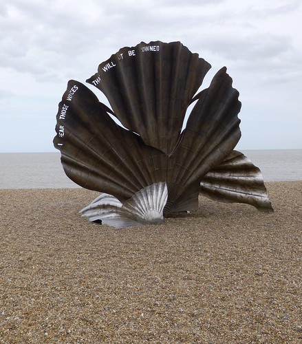
Screeching of seagulls over the fishermen’s sheds, faint hiss and suck of the North Sea at the pebbly Suffolk shore, church bells pealing out, and the chirrup of well-bred voices talking over last night’s music at Snape Maltings – where else but Aldeburgh’s seafront on Sunday morning?
First published in: The Times Click here to view a map for this walk in a new window
picture picture picture picture picture picture picture picture picture picture picture picture picture picture picture picture
Facebook Link:
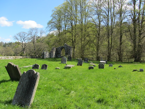
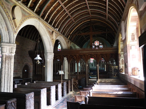
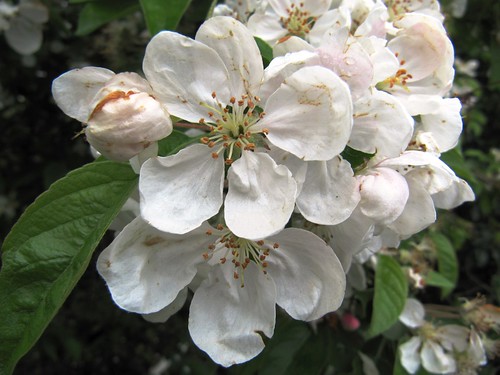
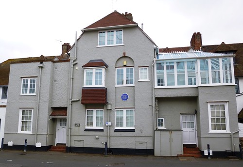
We’d been to that concert – Benjamin Britten’s ‘Canticles’ – and had been spellbound. So although you couldn’t really say it was whistleable music, we too had Britten on the tip of our tongues as we passed the modest, sea-facing Crag House where the locally-born composer lived with the tenor Peter Pears from 1947-57, and the churchyard hung with cherry blossom where the two musicians and life-long partners now lie side by side.

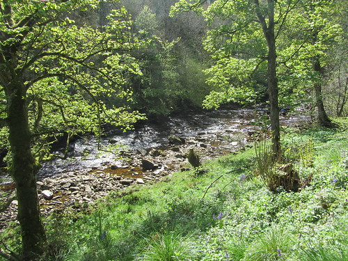
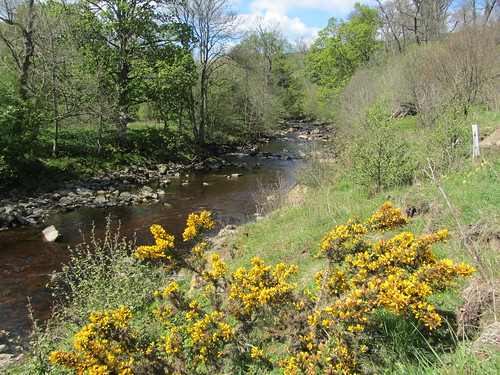
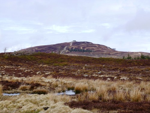
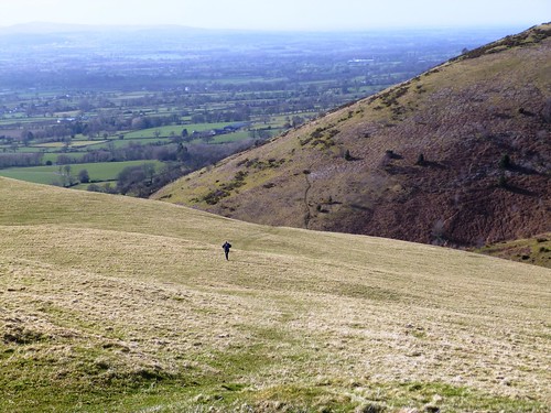
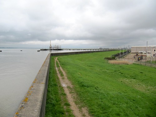
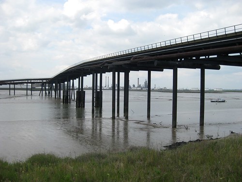
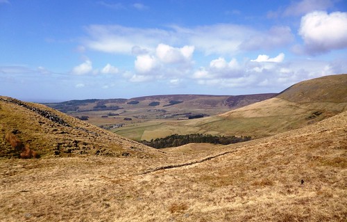
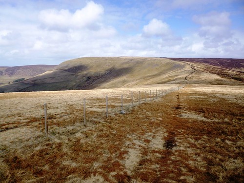
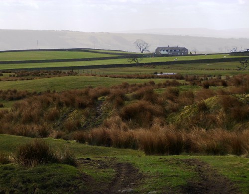
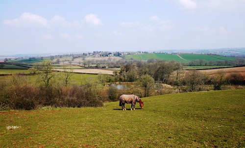
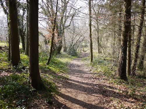
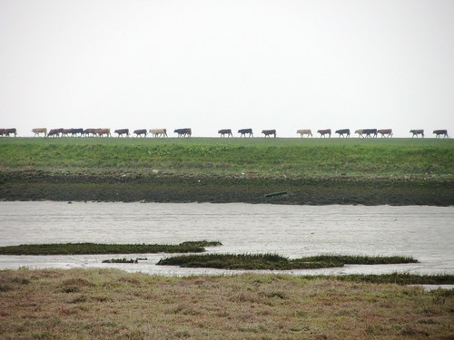
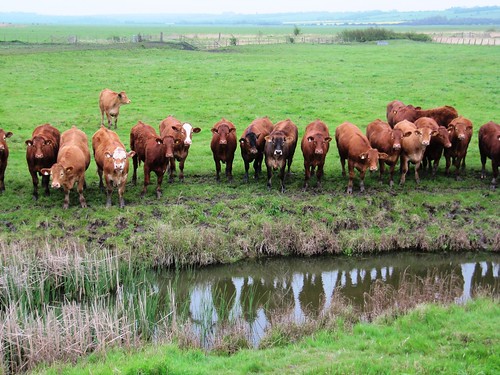
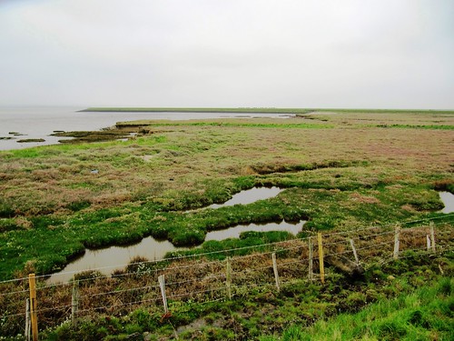
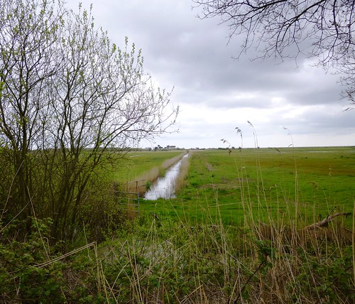
Out on the old railway line running parallel with the sea up to Thorpeness, an Irish wolfhound the size of a small pony went loping by on springs. The path snaked along the ruler-straight trackbed between banks of stitchwort, yellow archangel and sky-blue flowers of green alkanet. Skylarks sang over the freshwater meadows beside the line. We pulled up at the big reedy inlet of The Fens, struck still by the spectacle of two marsh harriers quartering the reed beds, gliding, swooping and pouncing, their big pale dark-tipped wings manipulating the air with economical power.

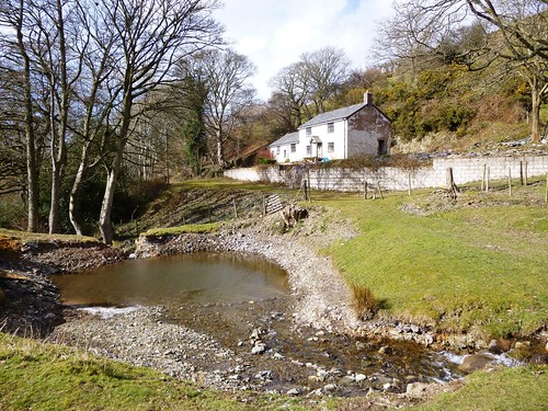
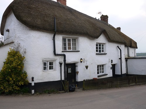
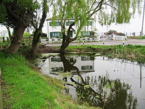
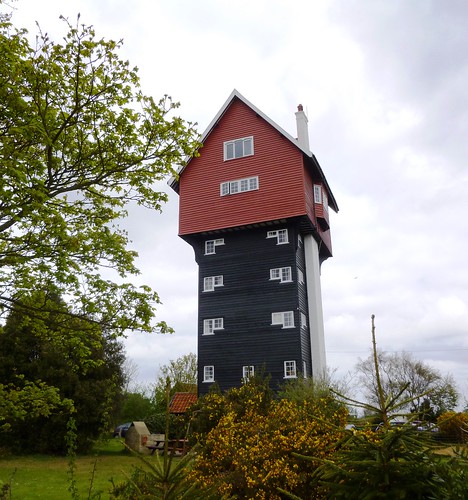
Thorpeness is a curiosity. When Stuart Ogilvie determined in 1910 to create a holiday haven on the Suffolk coast in memory of his mother, he didn’t do things by halves. Stuart and his son Sholto magicked the vernacular dream of Thorpeness around a lake they dug and christened The Meare. Half timbered mini-manors and clapboard cottages form the backdrop to The House In The Clouds, a fabulous water tower disguised as a fairy-tale chalet perched atop a 5-storey house.

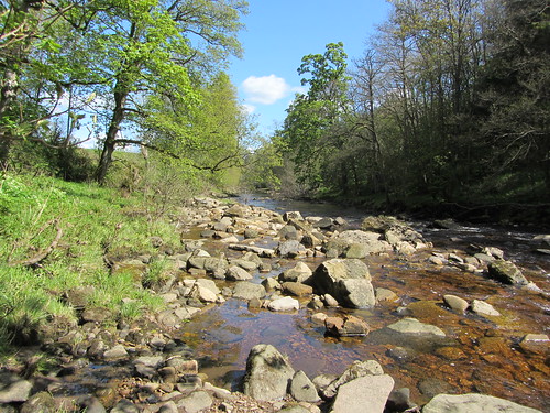
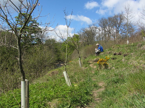
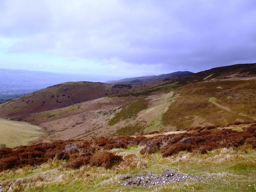
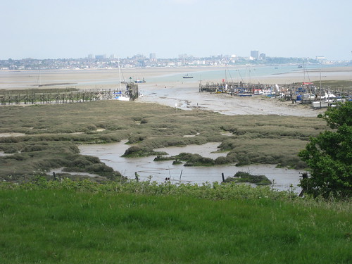
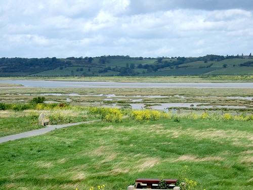
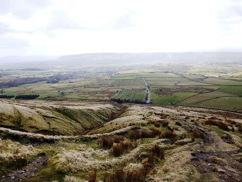
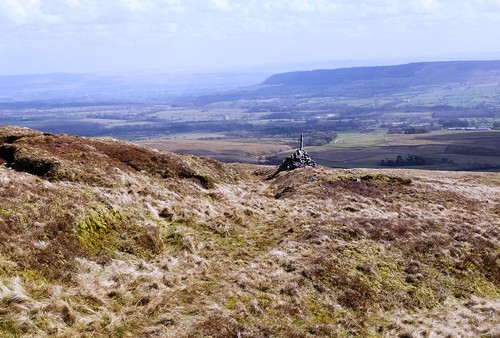
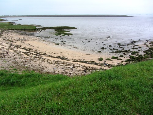
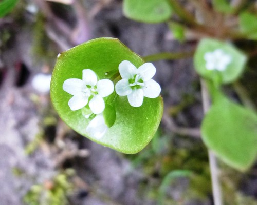
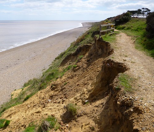
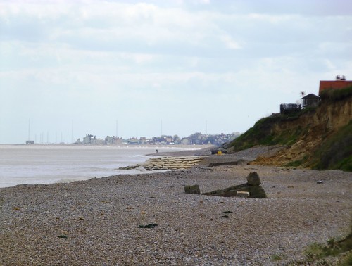
We sat over a drink beside The Meare, people-watching, and then took the sandy byway across gorse-strewn Thorpeness Common, where the delicate flowers so aptly named ‘spring beauty’ formed china-white drops on round, saucer-like leaves. Down on the crumbly flint-and-clay cliffs of the coast we turned south for Aldeburgh. The town’s church bells were still ringing out over red roofs, lapwing-haunted marshes, and the long grey strand where a million million pebbles made the endless sea music that Benjamin Britten took for his own.

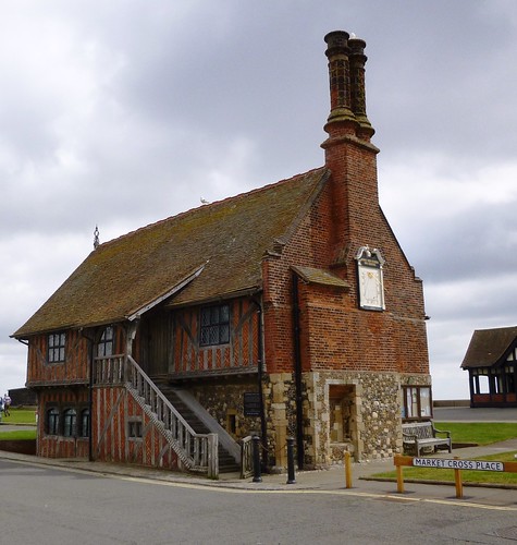
Start: Moot Hall, Aldeburgh, Suffolk, IP15 5DS (OS ref TM 466569).

Getting there: Bus (firstgroup.com/ukbus/suffolk_norfolk) – 64 or 165 (Aldeburgh-Ipswich), 521 (Aldeburgh-Halesworth Station)
Road: A1094 from A12 between Saxmundham and Wickham Market.

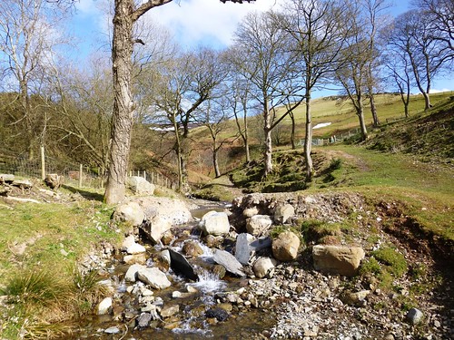
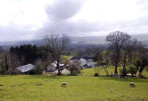
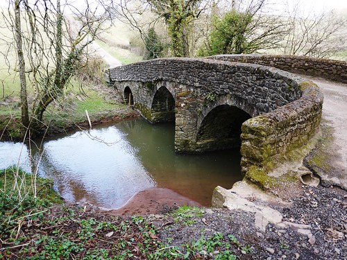
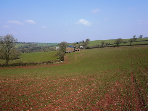
Walk (8 miles, easy, OS Explorer 212. NB: online maps, more walks at christophersomerville.co.uk): From Moot Hall, up Victoria Road and across High Street. In 150m, right through graveyard (464568, fingerpost). Through gate; on up path. In ¼ mile cross roadway (463573); half left through caravan site (yellow arrow) to old railway path (460575, ‘Permissive Path’). Right along railway path for 1½ miles. At Ward Hill, opposite North Warren nature reserve sign, right (462598, fingerpost) past golf course to road in Thorpeness (471598). Right to The Meare (shop, café). Opposite The Meare, left up The Sanctuary (472596) past gatehouse tower to cross road (473599). Half left along gravel road; follow ‘Byway’ and ‘Suffolk Coast Path’ for 1½ miles to coast near the Dower House (476617). Right for 3½ miles to Aldeburgh.

Lunch: The Meare Shop and Tearoom, Thorpeness (01728-452156); The Regatta, Aldeburgh (01728-452011; regattaaldeburgh.com)

Accommodation: Cross Keys Inn, Crabbe Street, Aldeburgh (01728-452637; aldeburgh-crosskeys.co.uk) – pub with rooms

Aldeburgh Festival: 7-23 June (aldeburgh.co.uk)
Britten Centenary: Until November 2013 (brittenaldeburgh.co.uk)
Snape Maltings: snapemaltings.co.uk
Benjamin Britten Trail around Aldeburgh: brittentrail.org
www.ramblers.org.uk www.satmap.com www.LogMyTrip.co.uk

 Posted by at 05:19
May 182013
 

A sunny day, clear and cold, had settled over Teesdale.
First published in: The Times Click here to view a map for this walk in a new window
picture picture picture picture picture picture picture picture
Facebook Link:
The leaves of the beech trees along the River Greta shone a sharp acid green as they filtered the morning sunshine. We followed a field path up the noisy Greta from Greta Bridge, walking against the flow of the river that sparkled over its bed of rocky slabs in the narrow west-east dale it has carved for itself.

A brief climb to the lip of the dale – seas of yellow rape rolling away to pale purple moors on the northern skyline – and then we were dipping down into the wooded cleft where the ruin of St Mary’s Church lay in its walled graveyard. A wonderful peaceful spot to idle and wander among the old slanting gravestones, unsteadily lettered by local masons – ‘Christopher Thwaites Postmaster of Greata Bridge 1693’, ‘Julian & Jane Sutton Bless ye The Lord Praise Him & Magnifie Him’, and a low stone for a child, simply inscribed ‘EH 1699’.

The path wound on, increasingly narrow and crumbly, through Tebb Wood, a world of white, blue and green with bluebells and wild garlic, bugle and wood anemones. Neither of us could remember any riverside walk so bright with wild flowers – the dusky purple nodding bells of water avens, false oxlips with multiple primrose heads on cowslip-like stalks, bold pink campion, white stars of stitchwort, early purple orchids. Blackcaps burbled musically in the scrub hawthorns, and wrens chattered. The sun poured over everything like a warm bath for the senses, just edged enough with cold fingers of breeze to remind us that we were in the Durham dales in springtime.

Down by stone-built Brignall Mill we crossed the Greta, splodged through the muddy caterpillar tracks of a logging operation, and turned back along the south bank of the river. What a contrast! These north-facing slopes of the gorge were at least a month behind those facing south only just across the river, with bluebells not yet bloomed and celandines and delicate white wood sorrel still out in glory.

The path climbed to a precipitous ledge above the Greta, then turned south through the woods high over Gill Beck. At Gillbeck Bridge we took to a silent country lane and field paths through open uplands where young calves kicked and capered in the meadows. A stretch of road with far moorland views and then the homeward path through Mill Woods and by the water-sculpted churn holes of the Greta’s gorge.
Start & finish: Morritt Hotel, Greta Bridge, Co. Durham, DL12 9SE (OS ref NZ 085133)

Getting there: Greta Bridge is signposted off A66 between Scotch Corner (A1) and Bowes. Park near Morritt Hotel – please ask permission, and give hotel your custom!

Walk (9½ miles, moderate, OS Explorer OL30): Leaving Morritt Hotel, turn right along road. Just before bridge, right over wall (fingerpost) follow riverside path towards Brignall Mill. In 2 miles you pass opposite the confluence of Gill Beck (062113). In another ⅔ mile path rises to go through gate (051112; yellow arrow/YA); in 150m fork right over cattle grid and down to Brignall Mill (047112).

Follow YAs around mill and across footbridge; dogleg right and left along higher track; in 100m bear left down to path downstream beside River Greta. In ⅓ mile cross footbridge at Hening Scar (051111) and continue beside Greta. In another ⅓ mile on Bleak Scar, path climbs high above river. Near top it forks (057112); don’t go right uphill to gate, but keep ahead along fence and above river. In ¼ mile, at post with 2 YAs (061112), keep ahead (not left), to bend sharply right along gorge of Gill Beck. Continue for ½ mile, crossing 3 footbridges, to reach Gillbeck Bridge (062105).

Left up Cowclose Lane. In ¾ mile, at end of Primrose Gill Plantation, left (072101; ‘Byway’ fingerpost) along stony lane. Pass limekiln (073104); in 300m, left through gate (075106, blue arrow) up fields to Crook’s House (075115). Ahead down left side of barn; right across farmyard; along drive to Wilson House farm (083118). Ahead along road; in ½ mile, left (085125, fingerpost) over stile; right through Mill Wood. Over meadow to Greta Bridge; through gate and farmyard (087131) to road; left to Morritt Hotel.

Click on Facebook “Like” link to share this walk with Facebook friends.

Conditions: For surefooted walkers – riverside paths are narrow, slippery and eroded in places

Lunch: Picnic

Accommodation: Morritt Hotel, Greta Bridge (01833-627232; themorritt.co.uk) – family-run, very friendly, helpful and well-kept

More Info: Durham walks/accommodation – thisisdurham.com
www.ramblers.org.uk www.satmap.com www.LogMyTrip.co.uk

 Posted by at 01:40
May 112013
 

Rain and gales over north-east Wales, with the Clwydian Hills bathed one moment in brilliant sunshine, the next in grey showers chased northwards by the wind. First published in: The Times Click here to view a map for this walk in a new window
picture picture picture picture picture picture picture picture picture picture picture picture picture picture picture picture
Facebook Link:
We watched the squalls marching through the Vale of Clwyd far below as we followed the broad stony track of Offa’s Dyke Path north along the ridge.

The Clwydian Hills make a hugely popular day out for local walkers; and Moel Famau, at 554m the summit of the 20-mile range, is the natural target with the stump of its ruined Jubilee Tower as an aiming point. Hikers, runners, strollers, dog-walkers, all were out striding the path in the buffeting wind, children running and tumbling in the heather, their parents crunching across the snow banks of last month’s unseasonable blizzards.

The Jubilee Tower was erected in 1810 for King George III’s Golden Jubilee and blown down in a storm in 1862. Its blockhouse foundations sit across the peak of Moel Famau like a double-crowned cardinal’s hat. Up on its walls we found we couldn’t keep our feet – the wind literally pushed us off that hilltop, tears in our eyes, the breath rammed back in our throats. There was time for a glimpse of the snow-streaked crests of the Berwyn Hills in the south, and then we had left the Offa’s Dyke Path and the wind-blasted ridge, and were skeltering down a green hillside into the calm airs of the Vale of Clwyd.

A string of small sheep farms runs north to south in the shelter of the Clwydian Hills. Above Tyn-y-celyn we crossed a fast-running hill torrent, ice-cold from snowmelt, and turned back along a path through sheep pastures. Ewes issued their throaty, peremptory calls to the lambs who came in pairs to look us over, their large ears sticking out and filtering the sun into a pink glow. We crossed a patch of unmelted snow, stamping our boots into the icy crust to get a grip, and went on south above the slate-roofed farms that crouched among shelter trees – Tyddyn Norbury, Bron-y-felin, Fron Goch, Fron Ganol, Fron Bellaf, ringing names to a Saesneg ear.

At Fron Bellaf we crossed a stream where daffodils were still in bud, and took the old green road up over the shoulder of the hill, climbing back towards Offa’s Dyke Path once more. The gale came rushing to meet us, the sky raced from peak to peak, and an old crow’s nest rocked in the fork of a weather-skinned thorn tree, seething to itself in the wind.

Start: Bwylch Penbarras car park, Llanbedr-Dyffryn-Clwyd, LL15 1US approx. (OS ref SJ 161606).

Getting there: Bus – Free shuttle bus from Loggerheads (denbighshirecounytryside.co.uk) in summer
Road – A494 from Mold towards Ruthin. In Llanbedr-Dyffryn-Clwyd, just before church, right up Lôn Cae Glas. Bear left along Lôn y Mynydd to Bwylch Penbarras car park at top of road.

WALK (5 miles, moderate, OS Explorer 265):

From car park follow Offa’s Dyke Path/ODP to Moel Famau tower (162626) and on. In ⅓ mile cross side track in dip (156628); in next dip, left off ODP (152630, fingerpost, yellow arrow/YA). Descend slope, looking to left for marker posts on a clear downward track. Follow it down. At bottom, cross stream (143628); in 200m, above Tyn-y-Celyn farm, sharp left (142627, waymark post) back along wall. Recross stream; on beside wall/fence. In ⅓ mile, YA points ahead (144622), but you hairpin right to cross stile; ahead along drive. At entrance to Bron-y-felin farmyard (144620), left through gate; bear right above and round farm; ahead through field gate and on with hedge on right. Keep same contour above Fron Goch (144616, stile, YA). At Fron Bellaf cross stream; left to cross stile (YA); climb bank ahead. Ignore first green track you cross, and YA pointing right; keep climbing to fence (147612). Turn left here, following fence on green track. In 200m cross stile; up slope for 50m, then left on grassy track, climbing for ½ mile. At top, ignore first stile on right (154609); ahead with fence on right for 200m to cross next stile. Ahead to join ODP (157608); right to car park.

Lunch: Griffin Inn, Llanbedr-Dyffryn-Clwyd (1824-702792; griffinllanbedr.co.uk) – cosy and friendly

Moel Famau Country Park: moelfamau.co.uk

Information: Ruthin TIC (01824-703992); visitwales.co.uk;
www.ramblers.org.uk www.satmap.com www.LogMyTrip.co.uk

 Posted by at 01:38
May 042013
 

Before I ever set foot on Canvey Island I’d thoroughly explored this dead flat offshoot of the Thames Estuary’s Essex shore in my imagination – washed up there on the tides of Wilko Johnson’s gritty lyrics and Lee Brilleaux’s gravelly bark.
First published in: The Times Click here to view a map for this walk in a new window
picture picture picture picture picture picture picture picture picture picture picture picture picture picture picture picture
Facebook Link:
If the tough-looking, fist-punching Brilleaux was the voice and face of Dr Feelgood, Canvey Island’s crunchy home-grown R&B band, guitarist Johnson was its heart and soul, with a unique song-writing talent for depicting the mean streets and hard men and women of a place he called ‘Oil City’. It wasn’t the real Canvey Island, but it was a real enough place to me and thousands more fans of the ‘greatest local band in the world’.

Setting out across Benfleet Creek to walk a circuit of the Canvey seawalls, I found myself immediately in acres of green marshes where piebald horses grazed and skylarks sang overhead. This western sector of the island houses one of the most diverse bird reserves in Britain – marsh harriers over the reedbeds, lapwings in the fields, curlews on the muddy foreshore – more RSPB than R&B.

Where was the Feelgoods’ Oil City? I looked ahead and saw the burning flare stacks and mad scientist’s geometry set of Shell Haven oil refinery across the creek. Further round the island a giant black jetty, remnant of a never-built refinery on Canvey itself, rose out of the fields and hurdled the mud flats of Hole Haven to curve into the River Thames. ‘I’ve been searching, all thru’ the city,’ growled Brilleaux on Dr Feelgood’s debut album, ‘see you in the morning, down by the jetty.’ Here it was, as skeletal and ominous as I’d always imagined.

Now the Thames lay in full view, nearly two miles wide, the green and yellow escarpment of the North Kent shore rising on the southern skyline. A great concrete sea wall fifteen feet high keeps the tides out of Canvey these days – it was built after the East Coast flood disaster of 1953 when the island, lying below sea level, was inundated and 58 people lost their lives.

I followed the sea wall under the jetty and on above the white weatherboarded Lobster Smack pub, a notorious haunt of smugglers back in the day, where Charles Dickens had Pip and Magwitch hiding out in Great Expectations. On along the Thames shore among sunbathing Canveyites; past the Art Deco cylinder of the Labworth Café; round the eastern point of the island, a maze of ramshackle wooden jetties with a glimpse of Southend Pier far ahead.

The northern side of Canvey is all saltmarshes and creeks. I strolled the seawall path and hummed the tunes that brought the ‘Canvey Delta’ to life in my imagination, back when the Feelgoods ruled the world.

NB Please retain all this information!

START: Benfleet station, South Benfleet, Essex (OS ref TQ 778859).

GETTING THERE:
Train (www.thetrainline.com) to Benfleet
Road: M25 Jct 29; A127, A130 to Waterside Farm roundabout on Canvey Island; left on B1014 to Benfleet.

WALK (14 miles, easy, OS Explorer 175):
From Benfleet station turn left along B1014 onto Canvey Island; turn right (west) along the sea wall and follow it, and the outer edge of the island, anti-clockwise all the way round.

LUNCH: Lobster Smack PH, Haven Road (01268-514297; thelobstersmackcanveyisland.co.uk)

ACCOMMODATION: Oysterfleet Hotel, Knightswick Road, Canvey Island (01268-510111; oysterfleethotel.com) – friendly, welcoming and very helpful.

Dr Feelgood Exhibition: 10-29 May; Canvey Club, 162 High Street; free entry. Free guided walks: 10, 17, 24 May; 10.30, Lobster Smack Inn, Haven Road

Visitor Information: Southend-on-Sea TIC (01702-215620); www.visitessex.com.
www.ramblers.org.uk www.satmap.com www.LogMyTrip.co.uk

 Posted by at 01:48
Apr 272013
 

The Gibbon Bridge Hotel and the nearby village of Chipping cater enthusiastically for walkers these days. First published in: The Times Click here to view a map for this walk in a new window
picture picture picture picture picture picture picture picture picture picture picture picture picture picture picture
Facebook Link:
But before the Countryside & Rights of Way Act became law in 2000, most of the neighbouring Forest of Bowland was closed to the public. Nowadays, however, this great tract of upland moors with its encircling ribbon of villages is Lancashire’s prime walking location, a vast swathe of Access Land criss-crossed by hundreds of walker-friendly paths and tracks.

Daffodils and primulas were putting their heads out cautiously in Chipping’s window boxes as a fine strong wind came roaring in from the sea 20 miles westward. Cloud shadows and sunlight raced across the slopes of Wolf Fell and Parlick as we crossed the sedgy fields around Fish House and Windy Harbour. A big hare with dull orange pelt and black-tipped ears sprang up from a sedge clump and dashed away, and a lapwing went tumbling overhead across the gale in an ecstatic mating display. Two oystercatchers chased each other round the windy sky with piercing piping calls, and we could hear the bubbling cry of curlews in the wet fields – all signs of onrushing spring.

It was a stiff, steady climb up the steep grassy breast of Parlick, the wind shoving from the west, the path slippery underfoot. At the summit, a view in a million – back across the field and farms below the moors to witchy Pendle Hill grey and ship-shaped in the east, and forward to an enormous curve of moorland – Blindhurst Fell, Fair Snape Fell, Wolf Fell, Saddle Fell, Burnslack Fell, rounded flanks of oatmeal, olive and burnt orange dipping south, a great ridge of peat hags connecting them like waves in a sluggish rust-brown sea far back up the northern skyline.

We followed a guiding fence and a whistling gritstone wall that filtered the wind into a high-pitched keening. At the crest of Wolf Fell we left the fence and plunged among fantastically eroded peat hags, then down the long green snout of Saddle Fell into the wind, with the Bowland valley spread before us. Ewes came bleating at Saddle End Farm as the farmer and his dogs herded them up the fellside, and down by Dobson’s Brook the week-old lambs bounced away as though each fat white leg were made of springs.

Start: Car park, Chipping, Lancs, PR3 2QH (OS ref SD 621433).

Getting there: Bus (lancashire.gov.uk): 5, 5A (Chipping-Clitheroe), 5B (Clitheroe-Garstang), 35 (Chipping-Blackburn)
Road: Chipping is signed from Longridge on B6243 Preston-Clitheroe road (M6, Jct 31a).

Walk (7½ miles, hard, OS Explorer OL 41. NB Online maps, more walks at christophersomerville.co.uk):

From car park, to road; left toward church; first left. In 300m, lane curves left (620435). Follow it past Old Hive. At gateway to Quiet Lane, left down Springs House drive (616436, fingerpost). In 350m, at left bend, right (612436, stile, yellow arrow/YA) across field; next stile (YA); stone stile by barn; cross stream (611437). Ahead (YA), bearing half-right to track to Fish House farm (610441). Left along Fish House Lane; in 30m, right (stile, fingerpost). Cross fields (stiles, YAs), aiming for left corner of trees ahead at foot of Parlick. Cross drive (603444, YA); on through kissing gate/KG by Wildcock House ruin (602446); left to Fell Foot house (599445). Turn right up steep pitched path to climb Parlick.

From summit cairn (596450) follow fence (keeping it on your left) for 1½ miles. Roughly opposite Paddy’s Pole cairn on left, fence bends half-right (595469). Soon it bends half-right again at a junction of fences, with 2 stiles on either side of a gate. Keep following it to summit of Wolf Fell (598472), another junction for fences with a pitched path going away north. Here 2 stony tracks, close together, lead off to right. Take 2nd one, a clear track heading east through peat hags. In ¾ mile, go through KG in fence (609470); bear right on grassy track parallel to descending fence, then trending away to left. Follow it south down Saddle Fell for 1¼ miles (YAs) to Saddle End farm (614451). Through farmyard; down drive to cross road (616448, fingerpost). On along track, across Dobson’s Brook (618446) to farmhouse. Through gate (619446, YAs); immediately right through gate (‘Chipping’); descend bank to cross brook (620445). Follow path (YAs) through fields, parallel to brook, down to lane by reservoir (619437). Left into Chipping.
Click on Facebook “Like” link to share this walk with Facebook friends.

Conditions: Steep climb up Parlick; some moor paths obscure; a walk for confident fell walkers, properly shod and equipped.

Lunch: plenty of pubs, cafés in Chipping

Accommodation: Gibbon Bridge Hotel, near Chipping (01995-61456; gibbon-bridge.co.uk) – characterful, enthusiastic, extremely friendly

Forest of Bowland: forestofbowland.com

Clitheroe TIC: 01200-425566; visitengland.com
www.ramblers.org.uk www.satmap.com www.LogMyTrip.co.uk

 Posted by at 01:05
Apr 202013
 

A fresh cold day with a dilute blue sky over the mid-Devon woods and fields. First published in: The Times Click here to view a map for this walk in a new window
picture picture picture picture picture picture picture picture
Facebook Link:
The little Tarka Line train rattled away north from Morchard Road station into Henry Williamson country. I was glad to swap the rush of lorries on the Barnstaple road for the call and response of ewes and their new-born lambs in the steep green fields. The farmer had been deep ploughing around Oakview; I stumbled among the ruts, and came down to Middle Yeo Farm with boots as heavy as the Emperor of China’s famed iron shoes.
Beyond Old Mill I threaded a resinous pine plantation and took the stony lane up to Zeal Monachorum, where a feeble spring sun was shining on the thatched roofs and thick cob walls. The village lay tightly stretched along its ridge-top, the sloping lanes full of sparrow twitter and the cooing of ring doves. In the rough lane down to Tucking Mill Bridge, a robin gripped a hawthorn twig six feet away in the hedge and sang quite unafraid into my face. The old tucking or cloth-fulling mill lay among daffodils. and periwinkles just above the two-arched bridge, its tin roof and timbers sliding into a green ruin, the double hoop of the mill wheel still attached to the outside wall.
In the fields at Oak Tree Farm two black-faced lambs bounded for safety in the hedge, their mother’s cracked bellow of a call as throaty and querulous as a gin-soaked duchess. ‘Come hyyyaaaah!’ The farmer at Lower Thorne found me fumbling with a tricky horse-proof gate. ‘Pull it up! If you were a proper walker,’ he teased in a gentle Devon burr, ‘you’d have known that!’ How long had he lived here? ‘Oh, about seventy years. See that old house?’ He pointed at a beautiful thatched cottage across the fields. ‘Lammacott – I was born in that house, so I haven’t travelled far.’
Up at Down St Mary, another ridge-top village, I admired the tympanum carved over the south door of St Mary’s Church, a calmly smiling figure assailed by demonic beasts with palm-frond tails. Seven hundred years old? Eight hundred? The drama, the vigour and humour of the work shine through, now as then – a contact with the medieval stonemason as warm and direct as a handshake across the centuries.

Start: Morchard Road station, EX17 5LR (OS ref SS 750051)
Getting there: Rail (thetrainline.com; railcard.co.uk) to Morchard Road.
Road: Morchard Road station is between Copplestone and Lapford on A377 Crediton-Barnstaple road.
Walk: (6½ miles, moderate, OS Explorer 113): From station cross A377; take B3220 (‘Winkleigh’). In 300m, left through gate (747051, yellow arrow/YA) up Ellicombe Farm drive. Don’t fork left to Ellicombe House. By entrance pillars to red brick house, left through gate (745050, YA); follow fence round to right. Pass house; continue along hedge; through kissing gate to right of tin shed (744050). Right through metal gate (YA); immediately left through another metal gate (YA). Pass a tree (ignore gate on skyline to right here); keep ahead up bottom of shallow valley, rising to go through gate at far end (741049). Left (YA); over stile into lane.
Left for 200m; right up steps, over stile (742047). Down left-hand hedge; cross stile and turn left (741047, YA) along hedge. At end of field through gate (741045); right (YA) along irregular edge of field for 400m, with Oakview house on your left. At end of field, right over stile (737045, YA) over stream and stile beyond. Half left across field to cross 2 stiles in far top left corner (737046, YAs). In 30m, left over stile (YA); follow hedge to Middle Yeo Farm lane (733046). Left to road (733045). Right downhill. Just before bridge at The Old Mill, left through gate (732044, fingerpost), and follow YAs and stiles with river on right for ½ mile. At end of plantation, turn right across river by tall footbridge (726039); follow stony lane opposite uphill to road in Zeal Monachorum (721041).
Left; at phone box by church, left downhill (720040, ‘Bow’). At foot of slope left along ‘No Through Road’ (720038; ‘The Waie Inn’) past Waie Inn and on downhill to cross Tucking Mill Bridge (724035). Right (‘Bridleway’). At cottage, left (YA); in 20m, left up track. In 100m at field entrance, bear left and follow inside edge of wood to cross stile (725034, YA). Cross field; through gates; follow hedge on your right. In 200m, at bottom of dip, right over stile and through gate (729034, YAs); left along hedge, cross stream and go through gate (731033, fingerpost). Cross field, aiming for left-hand of 2 trees ahead. Through gate into lane (733033).
Ignore footpath fingerpost pointing right along lane; go through gate to right of Merrifield drive; diagonally right across field; through gate on far side (735031, YA). Left with hedge on left; at far end of field, descend to go through kissing gate (YA) and cross stream in dell (738032). Keep hedge on right to reach gate into lane at Lower Thorne (741032). Left; in 20m, sharp right (fingerpost) through several gates and farmyard. Continue on path across fields (YAs). In dip, through wood (744032), crossing stream and bearing left downhill to stile. Cross field to bridleway by cottage (736033). Left for ½ mile to road (741040); right uphill through Down St Mary.
Pass church (743045) and on (‘Morchard Road’). In 150m, left over stile (744046, YA, fingerpost). Follow right-hand hedge, then centre of long field downhill to two neighbouring metal and wooden gates. Turn right through wooden gate (744050); retrace steps to Morchard Road station.
Lunch/accommodation: Waie Inn, Zeal Monachorum (01363-82348; waieinn.co.uk); Devonshire Dumpling, Morchard Road (01363-85102; devonshiredumpling.com)
‘Tarka Line Walks’ by Peter Craske (Crimson Publishing) – 60 walks in the locality.
Exmoor Walking Festival: 27 April-6 May (exmoorwalkingfestival.co.uk)
Info: Exeter TIC (01392-665700)
visitdevon.co.uk vistengland.com www.ramblers.org.uk www.satmap.com www.LogMyTrip.co.uk
Click on Facebook “Like” link to share this walk with Facebook friends.

 Posted by at 01:36
Apr 112013
 

Walked around Stanton Drew, Somerset – stone circles, great views of Chew Valley Lake, cattle out on the spring grass. Primroses, white violets and first cuckoo flower. Avon Wildlife Trust volunteers improving paths at Folly Farm nature reserve – unsung heroes!

 Posted by at 16:51
Apr 062013
 

The nightingale sang as though its heart would break. The infinitely slow and sweet contralto warbling filled the scrubby wood at the RSPB’s High Halstow reserve, an operatic aria against the plainer chorus of blue tits, chiffchaffs and wrens, and the stage-hand knocking and hammering of great and lesser spotted woodpeckers.
First published in: The Times Click here to view a map for this walk in a new window
picture picture picture picture picture picture picture picture
Facebook Link:
There can’t be a more poignant or a richer bird song anywhere in England on a misty spring morning, and it held us enchanted on our way down the Isle of Grain’s escarpment to the moody Kentish shore of the River Thames.

We followed a path out of the woods through green wheatfields and a blue haze of linseed towards the first glimpse of the Thames – a broad leaden tideway rolling seaward, the tall spindly stacks of an oil refinery on the Essex shore misted out into grey and white spires like a city in a dream.

A rough old lane led north between vigorous young elm hedges, a puddled track under a thick grey sky that brought us through the dead flat grazing meadows of Halstow Marshes to Egypt Bay in a crook of the sea wall that rims the Isle of Grain.

Yellow cockle shell sands lay at the feet of low black cliffs, leading out to a wide sheet of bird-haunted tidal mud, slippery and glutinous. In Egypt Bay the overarching imagination of Charles Dickens tethered the dreaded prison hulk from which the convict Magwitch escaped to terrorise young Pip in Great Expectations. There really were hulks in Egypt Bay in Dickens’s day – stinking, superannuated men-of-war in which convicts were incarcerated to rot away in hellish isolation.

Nowadays Egypt Bay and neighbouring St Mary’s Bay hold nothing more threatening than oystercatchers, avocets, curlew and brent geese. They are beautiful, sombre, wild places, destined to be overwhelmed if ‘Boris Island’, the monstrous Thames Estuary airport now under consideration, ever comes to pass – because it would be built right here.

A herd of bullocks paced the sea wall, evenly spaced one behind the next like the wagons of a slow-moving goods train. We left them to it, took a last lungful of salty estuary air, and made inland for the pretty duckpond hamlet of St Mary Hoo and the homeward path.

START& FINISH: RSPB car park, Woodside, High Halstow, Kent ME3 8TQ (OS ref TQ 781757).

GETTING THERE: From M2 Jct 1, A289, A228 towards Grain. At roundabout on outskirts of Hoo St Werburgh, left down Dux Court Road (‘Deangate Ridge’). At High Halstow church, right along The Street past school. Left into Harrison Drive; 2nd left into Northwood Avenue; immediately left down Woodlands to RSPB car park.

WALK: (8 miles, easy, OS Explorer 163):
From car park, don’t take the path with several arrows, but the other path through a swing gate with ‘No Fouling’ notice. In 150 m, left (‘Toddler Trail’); in 100 m, right, in 150 m, right again (‘Heron Trail’) up slope. At top, at T-junction, left; in 250 m, ‘Woodland Trail’ points ahead but turn right here up steps. In 100 m, with stile on right, turn left; in 50 m, right on Saxon Shore Way/SSW (782761). Leave wood; bear left along edge of picnic field, through hedge (785761) and on over field. In 200 m, left along field edge (787762; yellow arrow/YA). At top of field dogleg right and left (787764, YA) and on through scrub wood to road (787766). Left past Decoy Farm to Swigshole (788776). Over stile (YA; ‘Curlews, Convicts & Contraband’/CCC). In 100 m at fork, keep ahead (CCC) on Manor Way track for ¾ mile to end of track (783786). Left over stile (CCC) and next one; bear left along flood bank. Soon you cross stile with 2 YAs; bear right up onto flood bank at Egypt Bay (778790).

Right over stile (YA; CCC) and follow sea wall for 1½ miles. At south-east corner of St Mary’s Bay, right over stile (796788); head inland along green lane. In ½ mile, cross stile (796779; YA); ahead past sheepfold (797776; CCC); up slope to cross stile (798772; YA) and follow track to gate and stile into lane (801769; CCC). Follow lane round Ross Farm buildings to road in St Mary Hoo (803766). Ahead to visit church and pond. Retrace steps; at right bend (803766) keep ahead down stony lane (fingerpost, YA), through fields to pass Newlands Farm. Up steps by corrugated barn (797763; YA); on across field. At path crossing rejoin SSW (792763); ahead to road. Ahead round next bend; left (789762, SSW) to where SSW enters Northward Hill Wood (783761). Bear left on wide grass path across picnic field to gate and road (782759). Right (YA); in 250 m, right (RSPB sign) down Woodside to car park.

LUNCH: Red Dog, High Halstow (01634-253001; reddogpub.co.uk)

RSPB: Northward Hill and High Halstow Reserves: 01634-222480; rspb.org.uk

INFORMATION: Medway Visitor Centre, Rochester (01634-843666); visitkent.co.uk
www.ramblers.org.uk www.satmap.com www.LogMyTrip.co.uk
Click on Facebook “Like” link to share this walk with Facebook friends.

 Posted by at 01:42