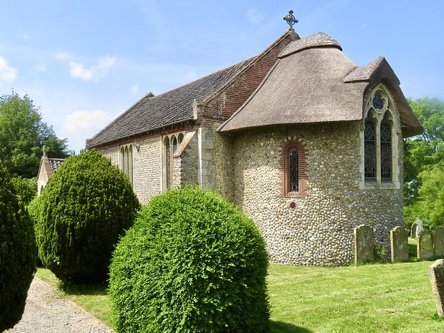
First published in: The Times Click here to view a map for this walk in a new window


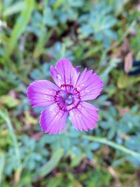
A hot summer’s afternoon in Shropshire, the River Redlake overgrown with rushes, the grey stone walls along Bucknell’s village street sprouting deep pink valerian.
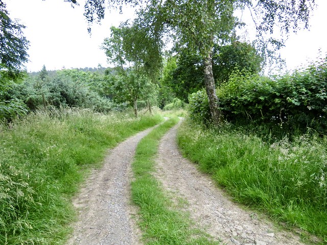
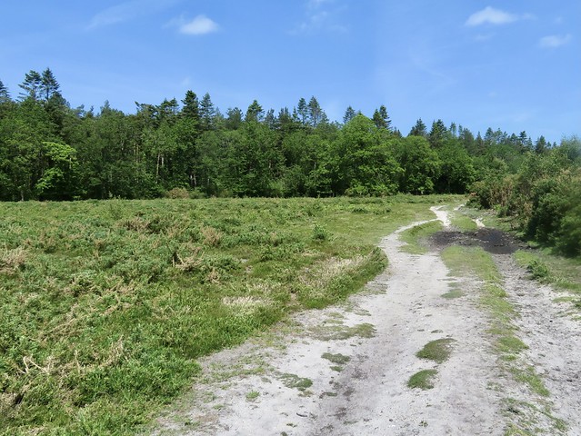
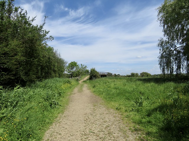
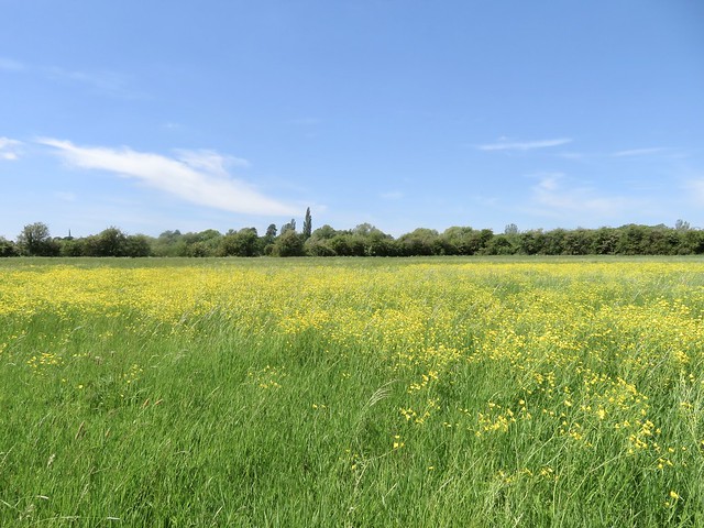
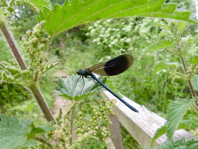
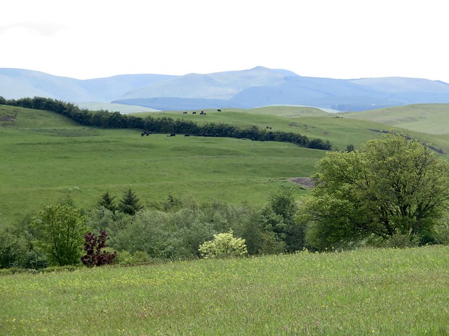
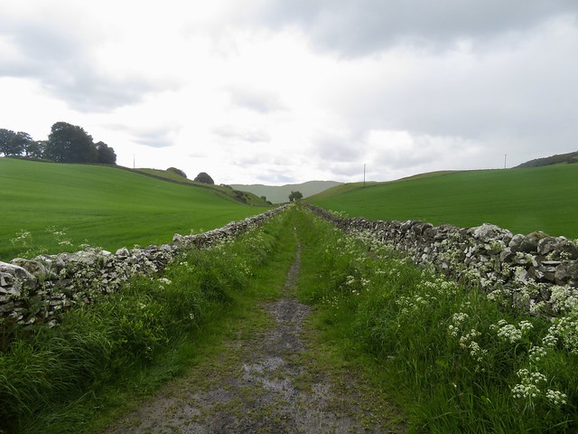
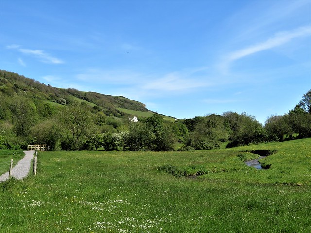
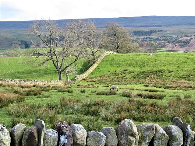
A green lane us away up sloping fields where brown and white cattle chomped their cud in the shade of big old hedgerow oaks. A red kite planed low over the grass on long crooked wings, and a pair of swallows raced overhead in a twitter of excitement as they swerved and snatched insects out of the still air.
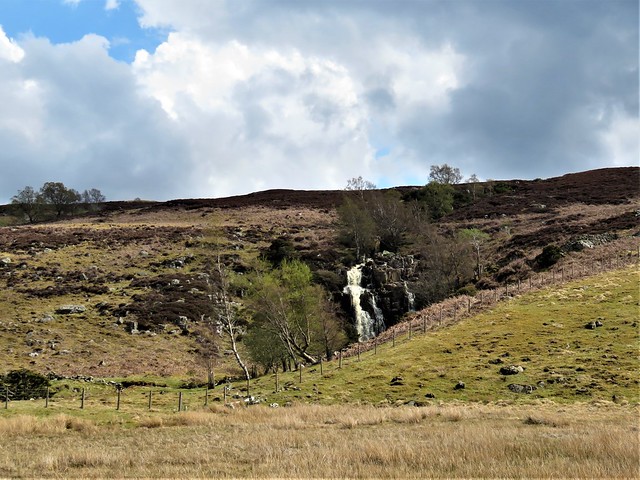
‘Walking With Offa’ said the waymarks along the path. The mighty defensive rampart and dyke built by King Offa of Mercia in the late 8th century runs south and north along the Welsh Borders a few miles west of here, but the terrain around Bucknell offers the same challenge to a walker – steep slopes, sudden descents, boggy valleys and forested hills.
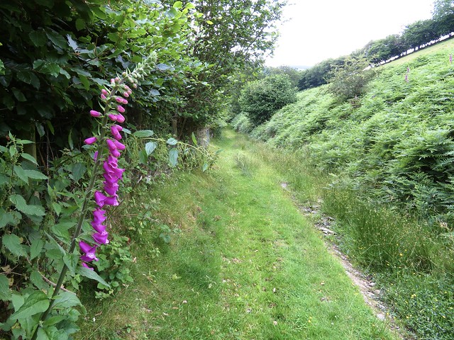
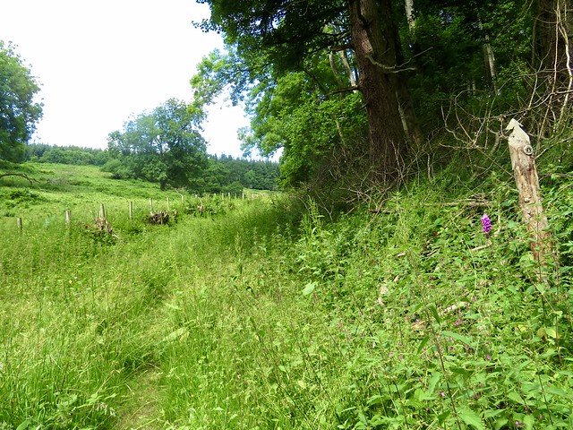
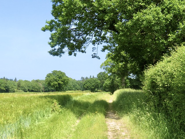
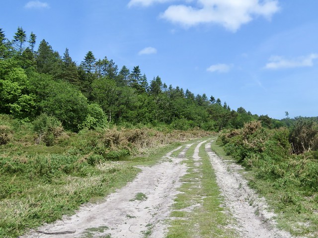
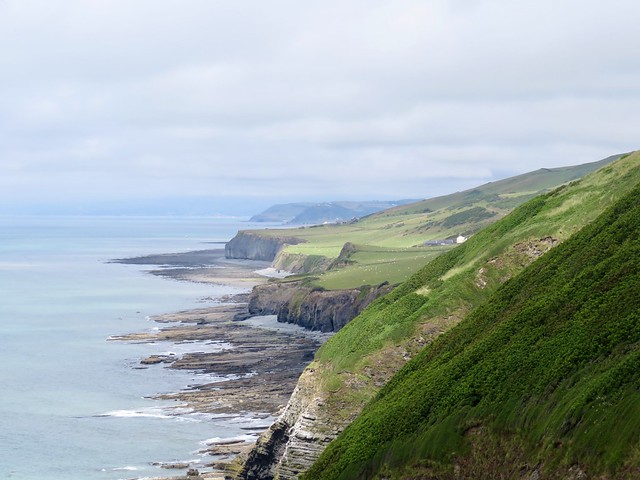
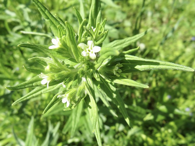
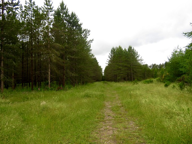
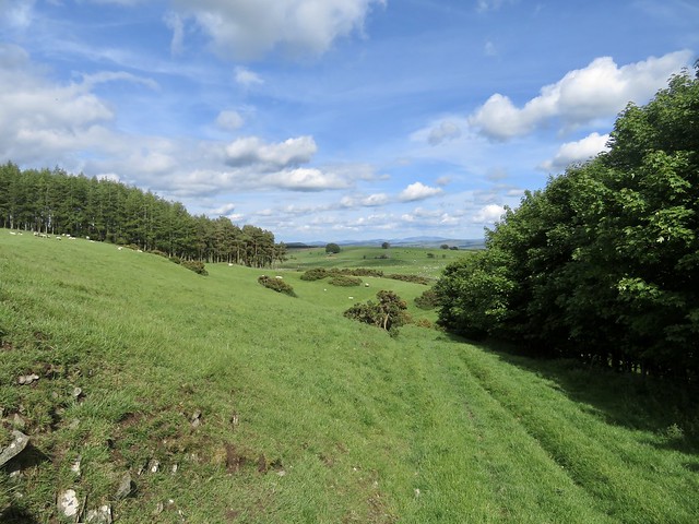
A high-banked lane fringed with white bindweed and deep yellow St John’s wort led to the high farmstead of Mynde, from which the path plunged down a hillside into the well-named depths of Darky Dale. Next came a climb through bracken banks and up the thickly forested slopes of Hopton Titterhill, which landed us breathless at the summit.
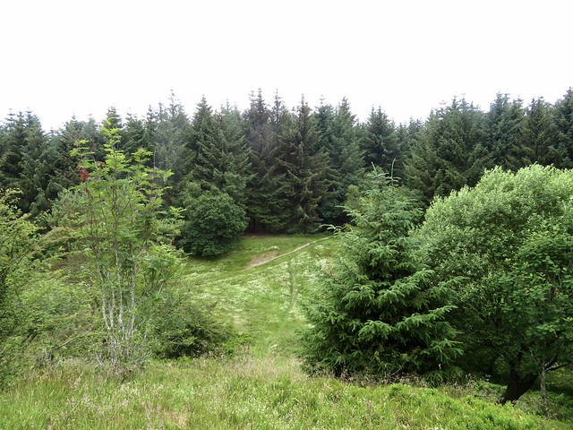
The viewpoint marked on the OS map turned out to have been obliterated by the growth of trees, but it didn’t matter. In a clearing under the knoll we sat to eat our apples and crunchy biscuits on a lacy white picnic cloth of heath bedstraw, serenaded by the clicks and whistles of a tree pipit perched in a spruce nearby.
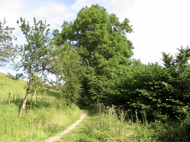
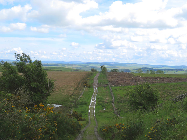
The forest track went gradually downhill among soft hair-like grasses full of cuckoo spit, a frothy defence extruded by the nymphs of froghopper insects. They shelter from predators in these gooey cradles, tiny white bugs in their hundreds.
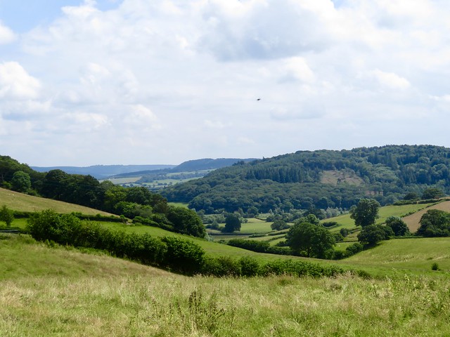
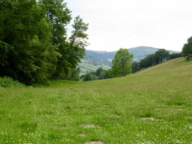
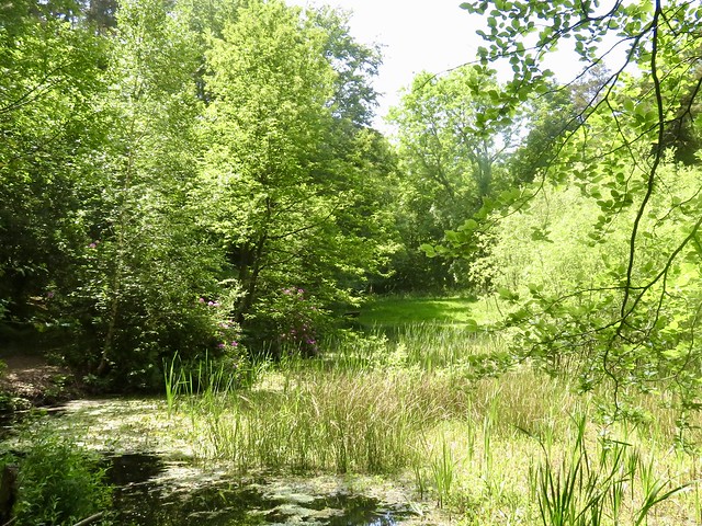
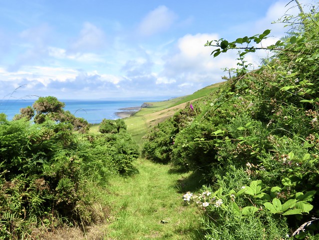
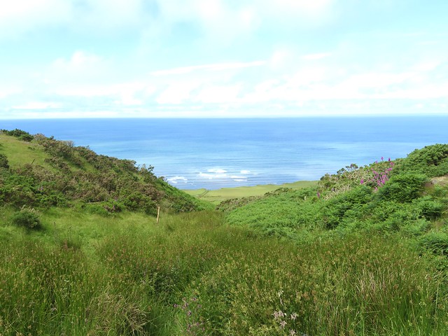
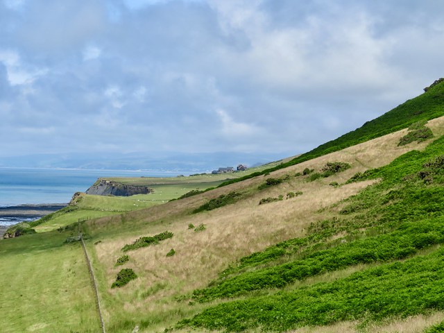
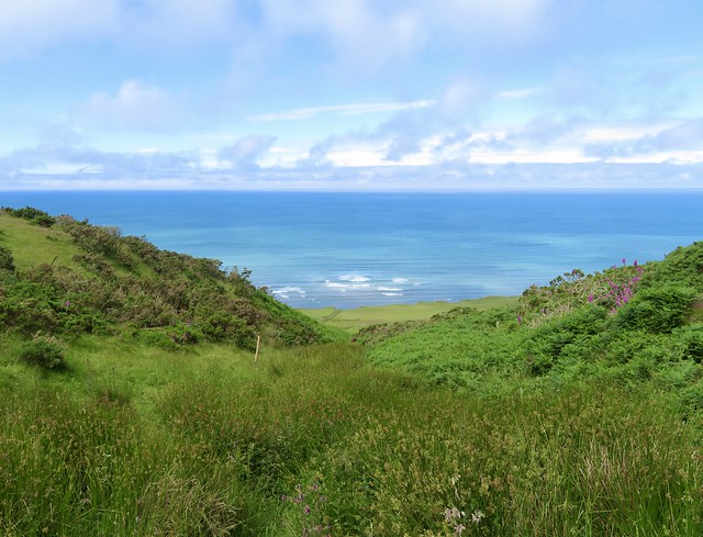
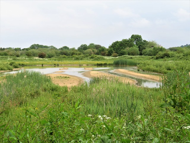
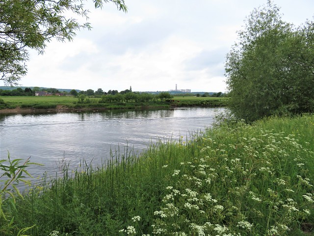
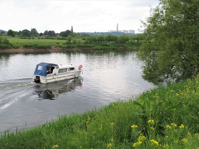
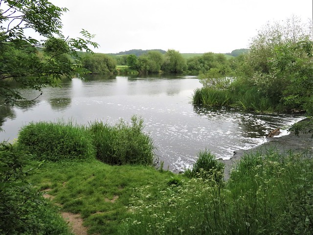
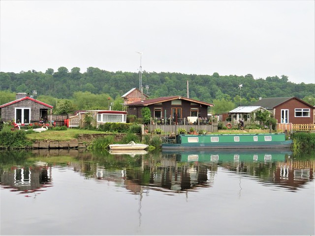
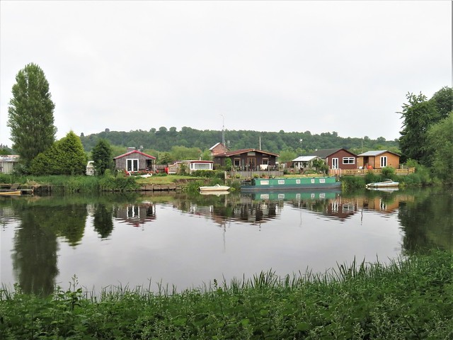
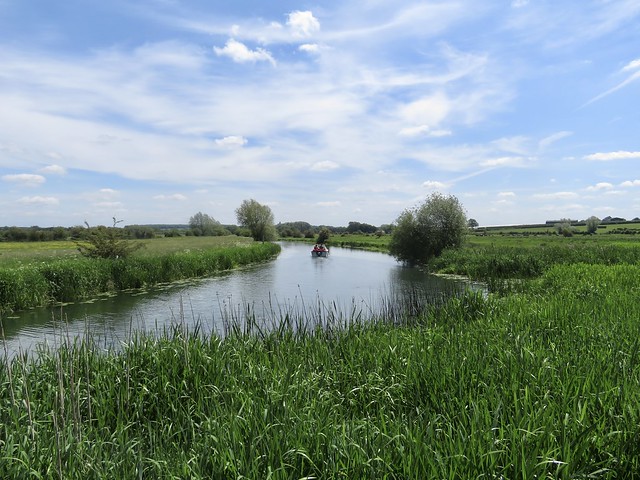
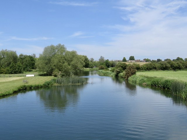
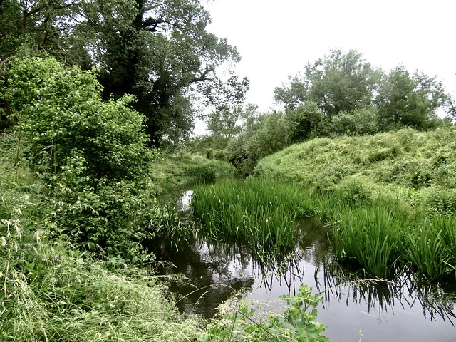
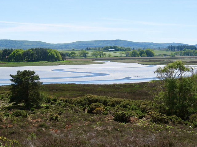
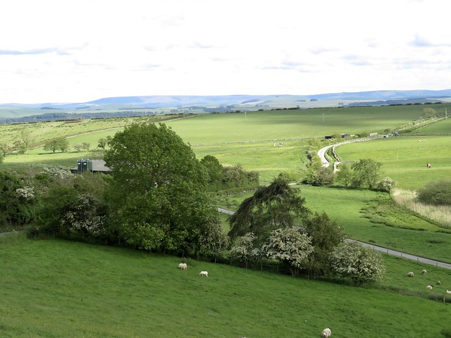
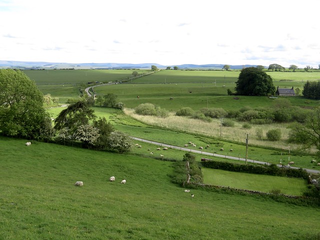
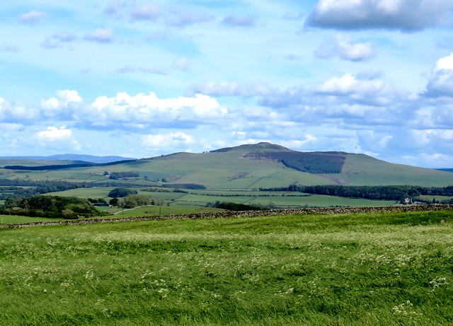
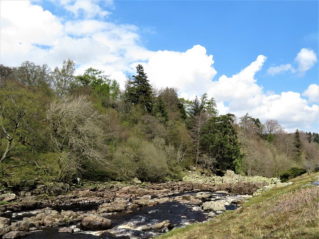
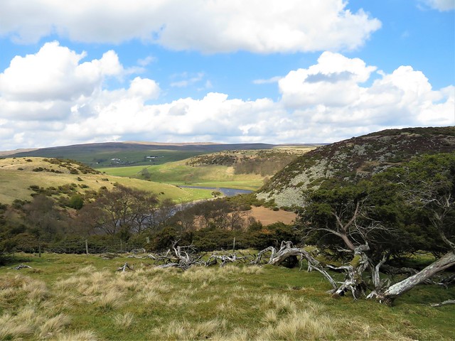
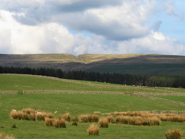
We followed the path down to Meeroak Farm, and on down a beautiful green cleft looking across the River Redlake’s green cleft valley to the crumpled faces of Stowe Hill and Caer Caradoc. The return path along the valley was a delight, with the river curving close below and a thrust fluting its evening song.
How hard is it? 6¾ miles; moderate; field and footpaths
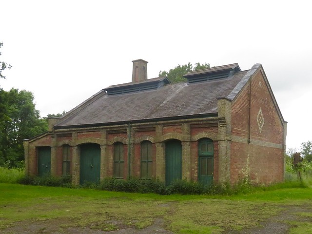
Start: Baron at Bucknell Inn, Bucknell SY7 0AH (OS ref SO 351741)
Getting there: Train to Bucknell
Road: Bucknell is on B4367, signed off A4133 Ludlow-Knighton road
Walk (OS Explorer 201): Left along road; left up Dog Kennel Lane. Between Brookside and Caverswall, left (355742, ‘Walking With Offa’/WWO) up green lane, then fields to cross road (355747, ‘Mynd’). In 100m, right (WWO, stile); field path (stiles, yellow arrows) to lane beyond house (356752). Right; in 300m, left (358753, fingerpost, ‘No Through Road’). 40m past Mynde Farm*, right on field path, descending to lane (359758). Dogleg right/left (WWO) and on through gate.
Cross valley floor (359759) and bear left, keeping parallel with Darky Dale stream on left. In 200m, stile into trees (359760, WWO). In 150m at gate, bear right uphill (357761, WWO). By metal gate at top of bank, left (359764, WWO) on path inside edge of wood. In 100m cross forest track (359765); take right-hand of two paths (not one with red/white arrow/RWA). In 300m cross track (357767); ahead up track (RWA). In 250m, where climb flattens, fork left (356769) on downhill track. In 150m, by pond opposite RWA pointing ahead (354770), right up through trees to meet a cross-track at hill summit (354771).
Left on track across hill; on down to track junction (353774). Left; in 250m, bear right off track onto clear grassy path (351773), descending to cross forest road (349773) and on. Keep straight line ahead at edge of forestry for ½ mile. At Meeroak Farm, through kissing gate (344766); left (yellow arrow, ‘Viaduct’ waymark). Follow farm track for 300m. In a dip, right (345762, WWO); follow WWOs for ¾ mile down to valley road (336756). Left; in 800m on right bend, ahead through gate (342753, WWO). Follow WWO for ¾ mile; at house, fork right (345743, gate, ‘Viaduct’) along lane to Bucknell.
Lunch/Accommodation: Baron at Bucknell Inn, Bucknell (01547-530549, baronatbucknell.co.uk)
Info: Ludlow TIC (01584-875053), visitshropshire.co.uk


;)
;)
;)
;)
;)
;)
;)
;)
;)
;)