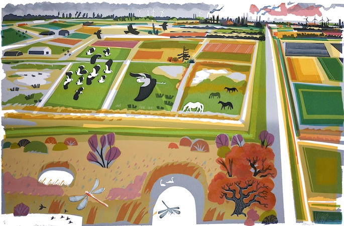
Arlingham lies isolated, out near the tip of a peninsula in a great bend of the Severn south of Gloucester, where the river begins to widen in its sinuations towards Bristol and the Severn Estuary. First published in: The Times Click here to view a map for this walk in a new window


Facebook Link:
When the residents discovered that Arlingham’s much-loved pub, the Red Lion, was to be sold at auction at 48 hours notice, they didn’t sit and mope – they rushed round, raised £350,000 in the space of two days, and bought the place. Everyone pitched in to refurbish it, and they got the place open again PDQ. That’s how much the village pub means to this little community at the end of ‘the longest cul-de-sac in Britain’.
The low countryside lay blanketed in mist when we set out south across the peninsula from Arlingham. There’s always a thrill when you approach the Severn hereabouts, hidden as it is beyond the loom of the river wall. The village lies a good twenty miles upriver of the old Severn Bridge, but the Severn is still tidal this far inland, and there’s no knowing what you’ll find when you climb the bank – a mighty tideway, fast-moving and chocolate-brown, or a hollow plain of mud and sand banks where oystercatchers and black-headed gulls excavate the tidelines. A rush and suck of turbulent water told us it was high tide even before we topped the grassy wall to find the channel full and the river already beginning to ebb seaward.
Friendly horses came up to have their soft faces stroked. The mist shredded away into a china-blue sky, and by the time we’d rounded the bend we could make out the white houses of Newnham riding the crest of their arc of tall red cliffs on the far bank of the Severn. Sand spits in mid-river began to roll clear of the falling water, exposing whole trees stuck fast on their timeless journeys to the sea. On one shoal we saw a man walking his dogs between opposing eddies, and wondered how he’d got out there.
Midday struck from Newham church tower, the bell notes echoing across the water. We turned reluctantly from the river and made our way back to Arlingham across fields corrugated with medieval ridge-and-furrow, the hollows gleaming like silver where the low winter sun caught the clumps of rushes that grew there. Past handsome old Slowwe House (the only name in the world with two adjacent ‘w’s?), and into the Red Lion to celebrate its community-led renaissance with a little smackerel of something.
Start & finish: Village car park, Arlingham, Glos GL2 7JN (OS ref SO 707109)
Getting there: M5, Jct 13; left on A419 to A38; left for ½ mile; right on B4071 to Frampton-on-Severn; minor road to Arlingham.
Walk (6 miles, easy grade, OS Explorer OL14. NB: Online map, more walks: christophersomerville.co.uk): Left to Red Lion PH; right along Church Road. On right bend just past Westend Farm, ahead through gate (707103; ‘Severn Way’/SW). Stony track between fields to river (706099). Right on SW beside river for 4 miles. Two fields before reaching pylon, with grey sluice box on left, go through kissing gate (723115). Right (‘footpath’ pole) up track; in 70m, right through kissing gate (yellow arrow/YA). Follow path west across fields (footbridges, kissing gates, YAs) with hedge on right for ½ mile to road by pond (715113). Fork right for ¼ mile past Slowwe House and Slowwe Cottages to T-junction (712115). Go over; bear left down grassy lane (‘Restricted Byway’) to car park.
Lunch: Red Lion, Arlingham (01452-740700; redlionarlingham.co.uk) – cheerful, cosy village pub
www.ramblers.org.uk www.satmap.com www.LogMyTrip.co.uk visitengland.com


