Dec 092022


First published in: The Times Click here to view a map for this walk in a new window
Thorncombe near Forde Abbey Farm footbridge over Stonelake Brook near Thorncombe fungi on the Monarch's Way near Thorncombe IMG_5264 flooded gravel workings at Westmills Plantation rain approaching parkland near Forde Abbey IMG_5255 bushy hollow near Thorncombe near Thorncombe

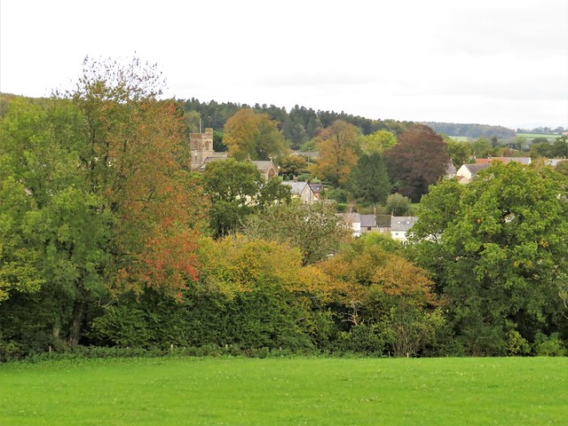
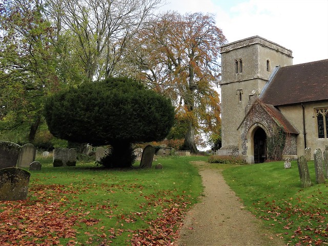
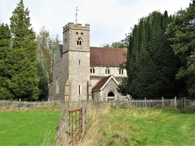
The old wool-trading and lace-making village of Thorncombe lies up and down its sloping street, a handsome huddle of old cottages in a steep, remote piece of countryside where Dorset tips over into Somerset.

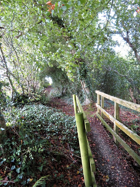
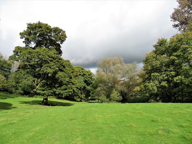
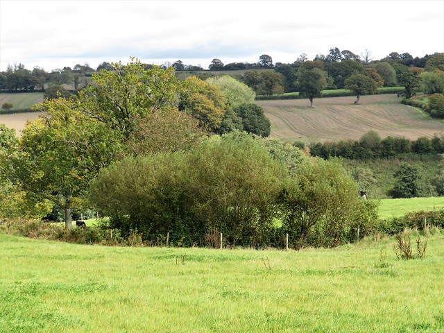
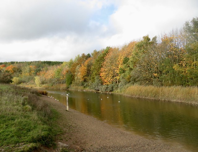
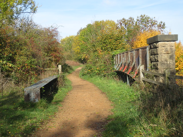
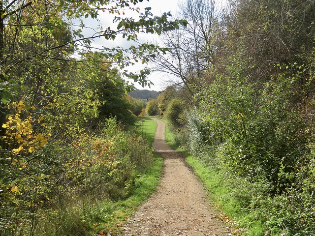
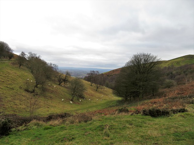
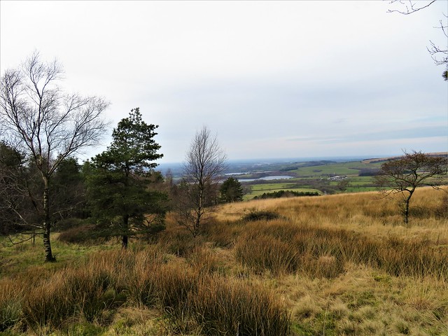
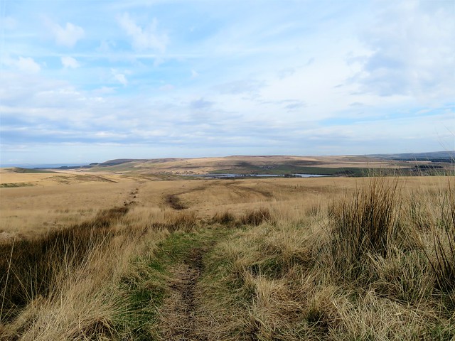
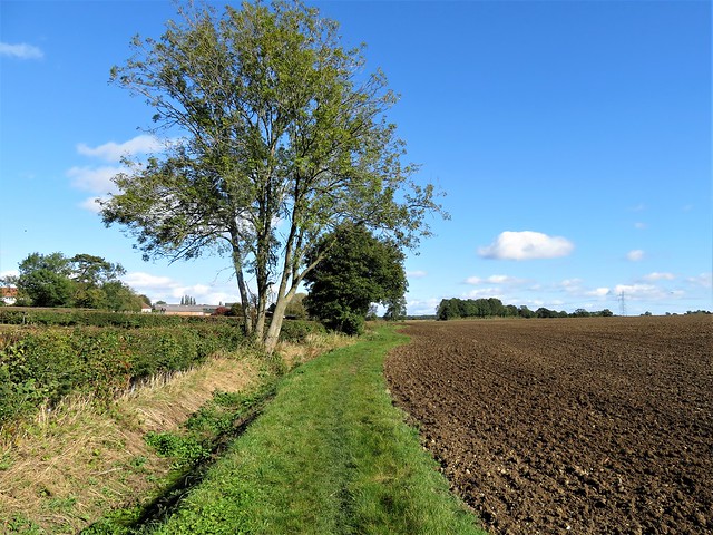
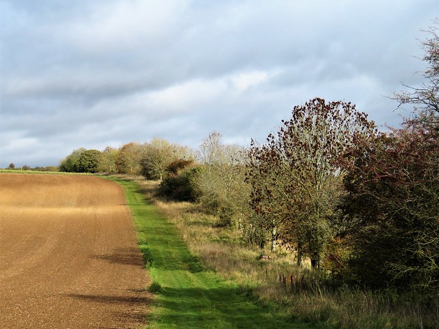
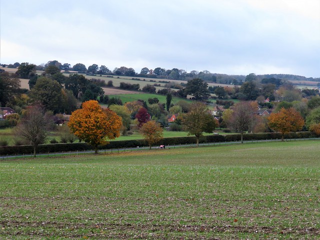
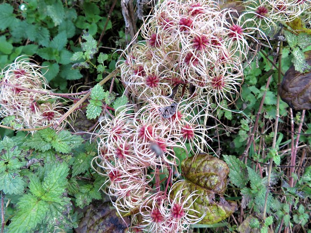
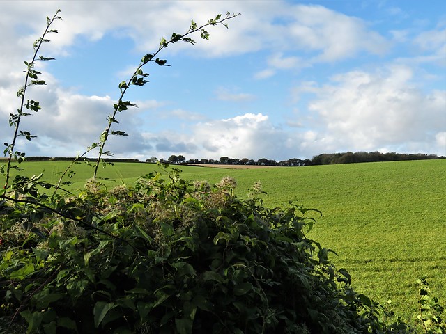
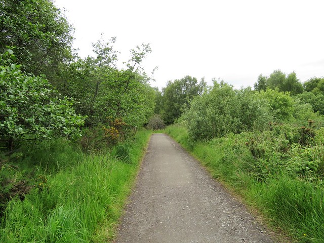
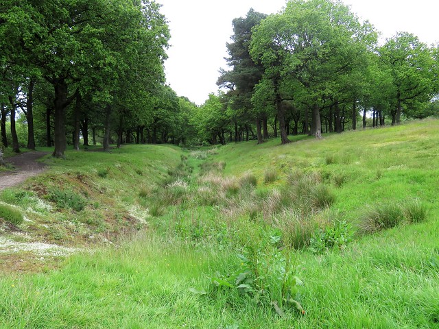
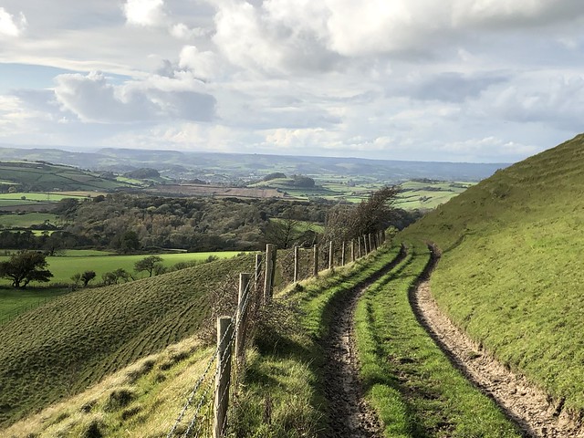
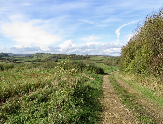
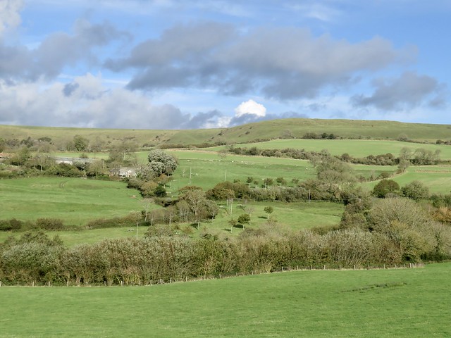
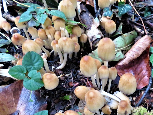
The sun was finally groping its way through the clouds after days of miserable rain. The fresh wind and brilliant autumn colours of the woods put a spring in our step as we followed the rim of the deep ferny cleft of Stonelake Brook.

The Monarch’s Way led north through pastures where the wet grass polished our boots for us. Flints underfoot crunched and crackled. Off on our left side the church and houses of Thorncombe sloped down their hillside, framed by oaks and beech trees in wind-tattered gold and scarlet.

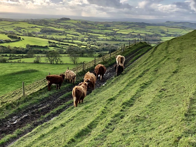
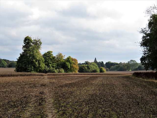
Down at Synderford bridge we picked up the Jubilee Trail and followed it north across the red mud squelch of rain-swollen brooks and the broad clover leys on Chitmoor. Devon Ruby cattle grazed the fields at Wheel House Lane, the sturdy little bull inspecting the females with close solicitude.

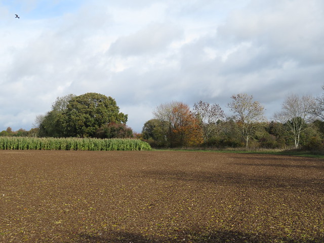
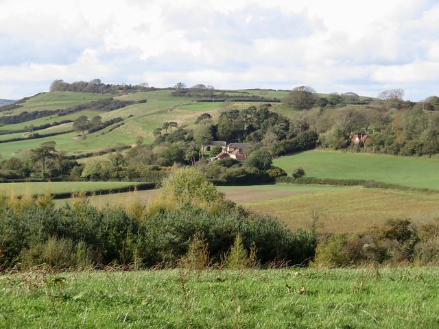
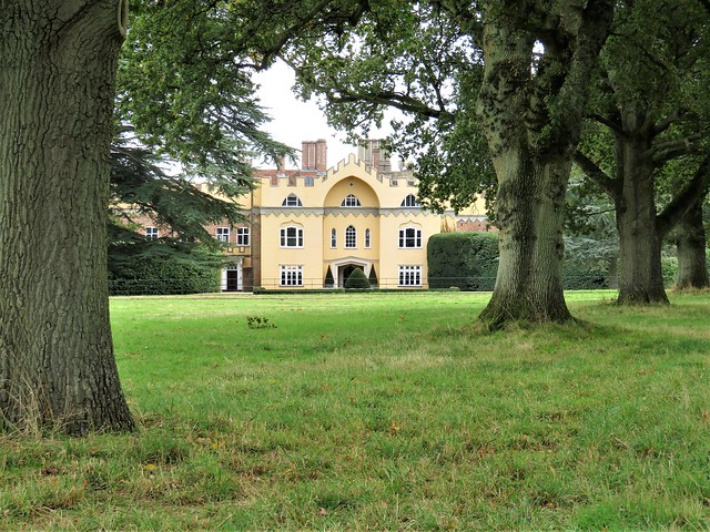
A screeching chorus of pheasants arose from a maize field as we neared Forde Abbey, where the last of the afternoon was slanting across the old monastic buildings. The view down the drive from the ornate gates was of a surf of pink, white and purple cyclamen along the lime avenue leading away to beautiful gardens and fountain pools.

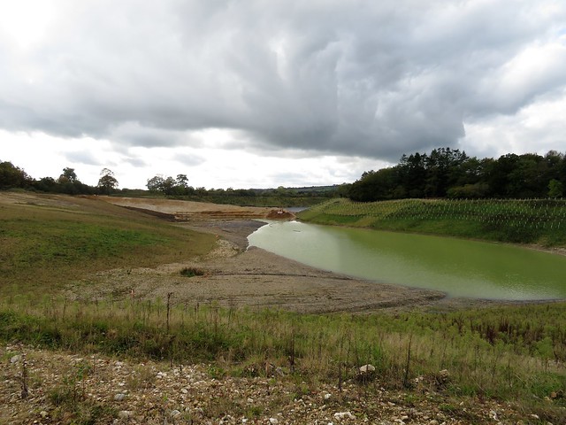
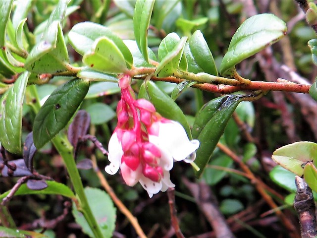
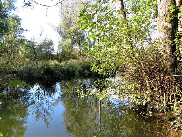
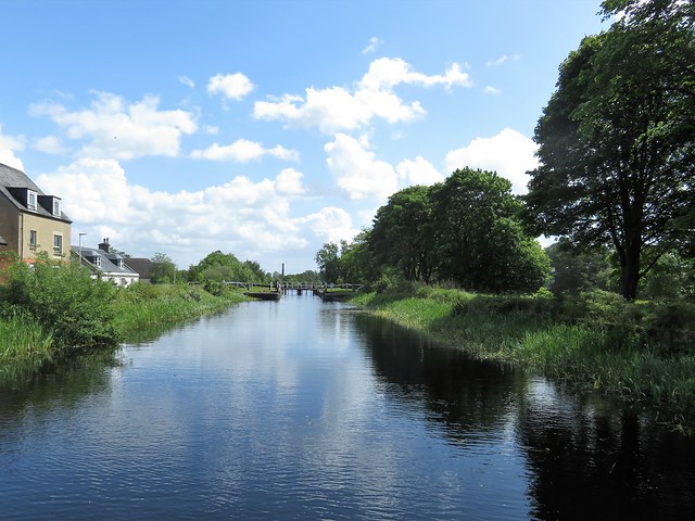
Just beyond Forde Abbey the meanders of the River Axe mark the Dorset border. We crossed the bridge into Somerset and turned west through lush river meadows dotted with fine old cedars. Along the river, the pink blooms of Himalayan balsam opened their spotted throats to release a spicy fragrance. We edged round a deep gravel pit, pushed our way through an elephantine jungle of maize nine feet tall, and skirted the empty yards of Forde Abbey Farm.

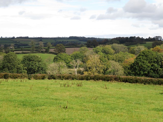
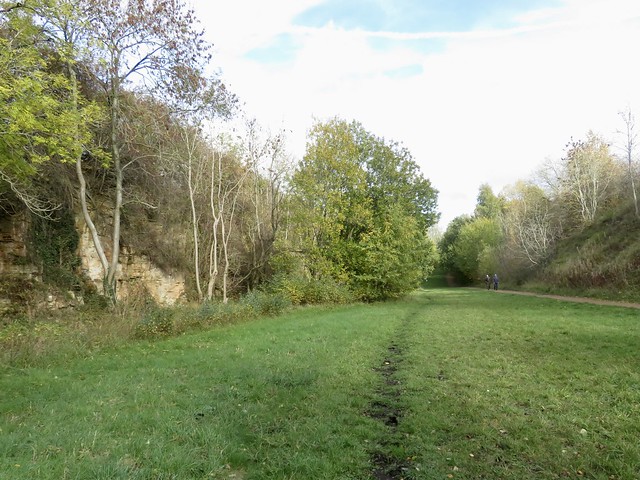
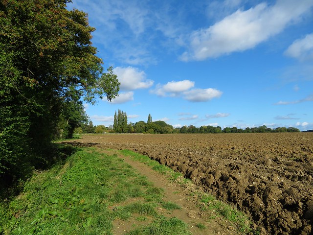
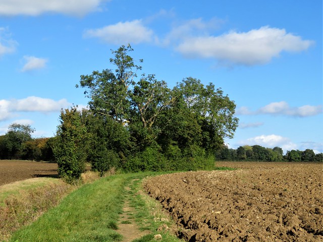
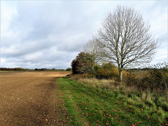
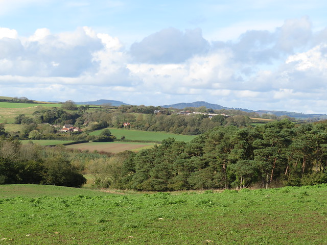
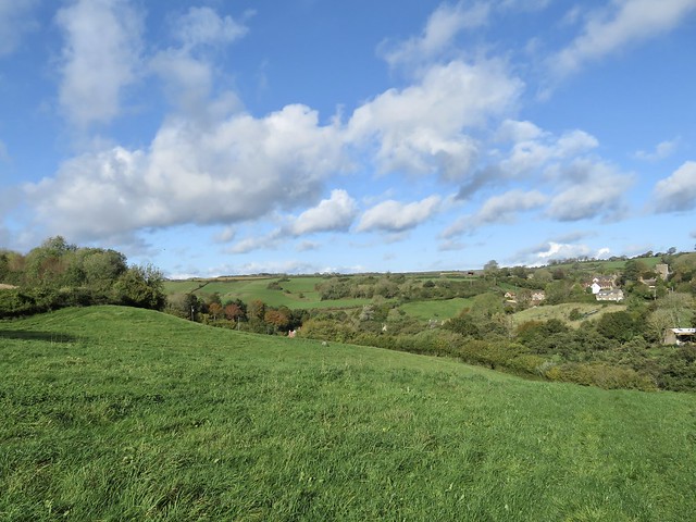
Now the sun made a belated return, streaking the sky with patches of blue and fringing the clouds with a sharp lining of silver. Lemon yellow beech leaves scuffed under our boots as we came past Whistling Copse and turned for home.

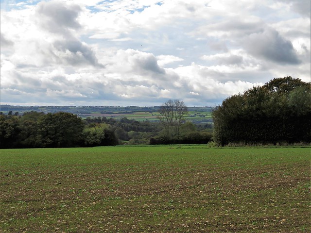
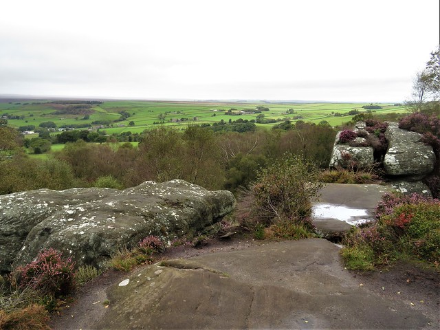
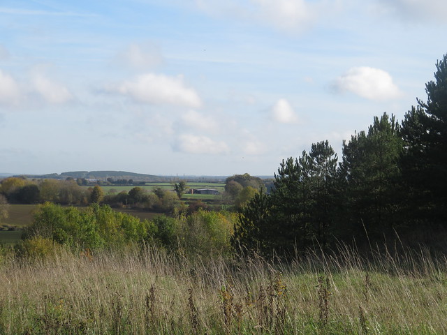
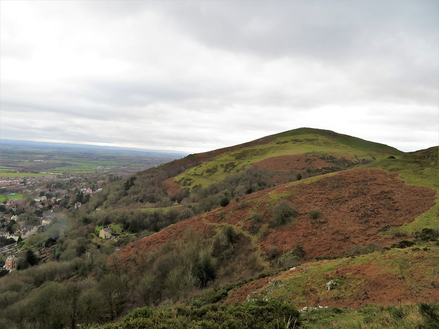
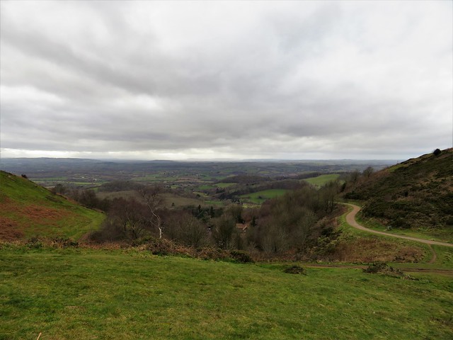
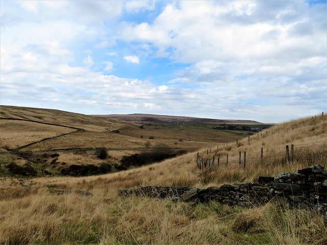
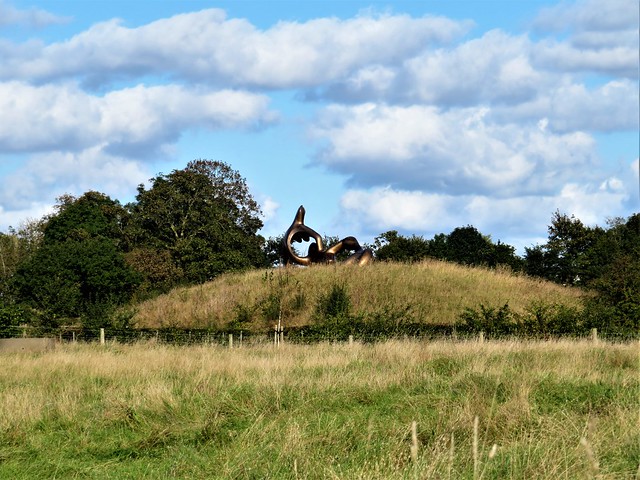
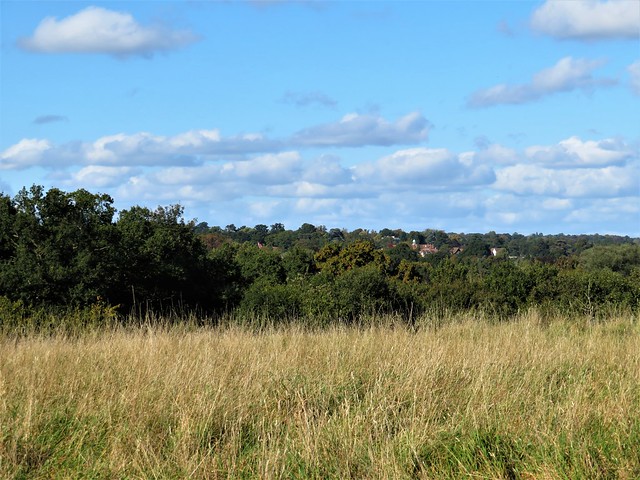
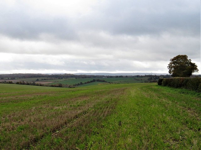
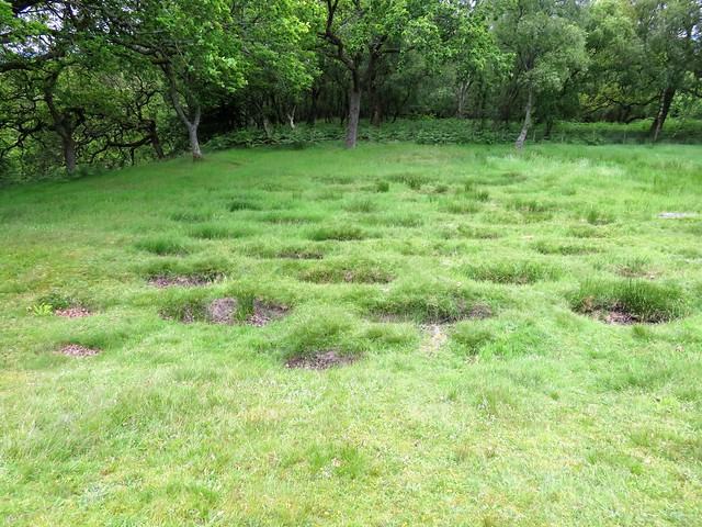
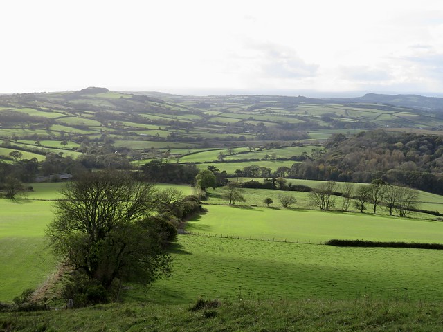
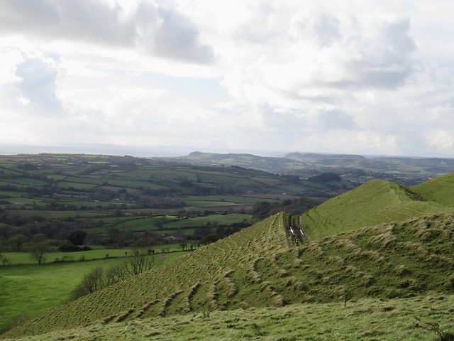
A great view of rolling country to west and east, and we were crossing Thorncombe’s cricket field where goldfinches in a flicker of wings were gobbling up the grass seed laid on the pitch by the groundsman in hopes of a perfect surface for next summer’s opening match.

How hard is it? 6½ miles; easy; field paths. NB GPS and OS Explorer map are helpful for route-finding.

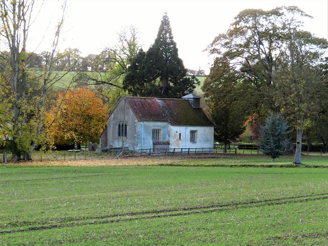
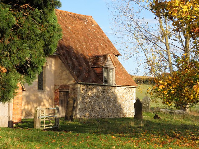
Start: St Mary’s Church car park, Thorncombe, Dorset TA20 4NE (OS ref ST376034)

Getting there: From Crewkerne (A30, Chard-Yeovil) follow ‘Forde Abbey’, then ‘Thorncombe’.

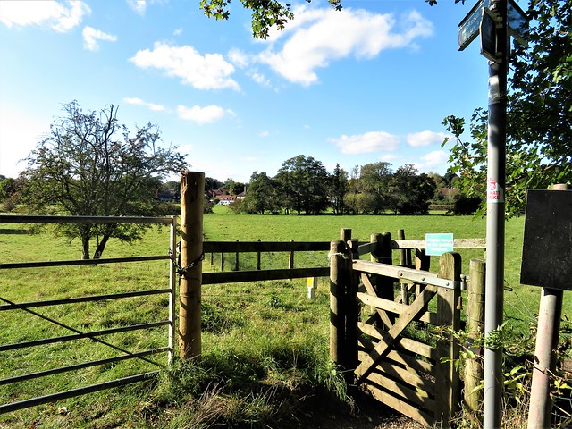
Walk (OS Explorer 116): Path through churchyard to road; left to junction at chapel (376032); right uphill. In 100m pass ‘Old Alley’; left (375032, fingerpost/FP). At stile, ahead (yellow arrow/YA); in 2nd field, stile (377027, ‘Liberty Trail’) through trees. In 200m, sharp left on Monarch’s Way/MW (377025) to pass Yew Tree Farm (383031, ‘Wessex Ridgeway’). At road, right (380035).

At Synderford sign, left (382037, FP, Jubilee Trail/JT), skirting water treatment plant. Cross brook; bear right up field slope with hedge on right to gap (380037, JT). On by hedge, following JT waymarks to cross brook in trees by stepping stones (376041). Left up hedge, left through hedge at top of bank (375043); right to kissing gate/KG. Follow right-hand hedge; in 200m, right (374045, KG); left up hedge. In 200m, left with hedge on left (374047); follow JT to Wheel House Lane (371048).

Left; opposite Thorncombe turning, right (366047, FP, JT) across fields to road (362053). Right past Forde Abbey gates, across River Axe. Left (362054, ‘Horseshoe Road’). In ½ mile, recross Axe (356051, YA). Follow Liberty Trail/LW and YAs clockwise round gravel excavation at Westmills Plantation (354050). Cross road (355046, ‘Forde Abbey Farm’) across field. Skirt to right round Forde Abbey Farm buildings (357042); follow farm drive. At fuel tank fork left (363037, blue arrow) across field to Horseshoe Road (366037). Right (LT). In 200m bear right along hedge (366036, FP). In 650m path descends and bends right; left here (368030, stile) to stile in conifer hedge (370030). Across recreation ground to cross road (371031), then more fields (YAs) to Thorncombe.

Lunch: Bell Inn, Winsham TA20 4HU (01460-30677)

Accommodation: Haymaker Inn, Wadeford, Chard TA20 3AP (01460-64161, thehaymakerinn.co.uk)

Info: Chard TIC (01460-260051); fordeabbey.co.uk

 Posted by at 16:52
Dec 032022


First published in: The Times Click here to view a map for this walk in a new window
Weathered outcrop at Brimham Rocks 1 Weathered outcrop at Brimham Rocks 2 Circular Trail, Brimham Rocks Weathered outcrop at Brimham Rocks 3 Weathered outcrop at Brimham Rocks 4 Weathered outcrop at Brimham Rocks, showing cross-bedding The last cranberry/bearberry/cowberry flower of the year far view from the Boundary Walk

A brooding winter day of rain showers over the Yorkshire moors. Low cloud hung threateningly over Brimham Rocks. The Eagle, the Dancing Bear, Cannon Rocks, ET, the Idol: they stood against the grey sky like chubby monsters, fat stacks of gritstone sandblasted during Ice Age windstorms into fantastic shapes. Some leaned at precarious angles; others were layered like a giant pastry-cook’s mille-feuille, or ribbed as thin as a sword blade and pierced with holes punched through by wind, rain and frost.

As soon as I began to walk among the rocks, imagination took over. A lion, a dwarf, a turban, a bird. An anvil poised on a flat stand. Toadstools. Profiles of grotesque faces that had me glancing over my shoulder in spite of myself.

From the Visitor Centre I followed the Circular Trail through a great shallow bowl at the centre of the knoll, a hollow filled with piles and stacks of rocks, some dramatically undercut, dozens of tons balancing on a pivot the size of a book. The dark rain-soaked rocks were spattered with crustose lichens, pale green and white. There was an irresistible urge to touch and stroke their curves, seeded with crystals of quartz that felt rough and sandpapery under my fingers.

Off the Circular Trail branched a maze of dark sandy paths, some leading away from the main rock groupings to pass outcrops half hidden in the bracken under the silver birches, equally bizarre but out of the limelight.

The coarse sandstone known as millstone grit that formed these rocks was eroded from giant mountains and deposited in a massive river delta some 400 million years ago. That same gritstone underlies all these more easterly of Yorkshire’s moors, lending them a strong and dour character to be savoured in contrast to the softer aspect of the limestone dales to the west.

Back at the Visitor Centre I set out along the Boundary Walk around the perimeter of the knoll. Rowan trees in full berry competed with bracken and bilberry leaves for fieriest colours against the pale moor grass and dark heather of this sombre landscape. The path of black peat squelched underfoot, and a sudden flicker of white against the bracken betrayed the zigzag flight of a snipe.

At the edge of the knoll I stopped to take in the view. The mist and low cloud had lifted, and a watery sun was beginning to break through. Down in the Vale of York lay the towers of York Minster, nearly thirty miles off, and out at the edge of sight a fleet of power stations sent out white plumes of steam as they sailed the level horizon.

How hard is it? 4¾ miles (Boundary Walk 3½ miles, moderate; Circular Walk 1¼ miles, easy); defined paths; parts can be wet underfoot
Start: Brimham Rocks car park, Brimham Moor Road, Summerbridge, Harrogate HG3 4DW (OS ref SE 208645)
Getting there: Brown signs from B6165 (Pateley Bridge-Ripley)
Walk: Circular Walk: From car park follow the blue markers clockwise around the Circular Walk to see main attractions. Boundary Walk (anti-clockwise): from car park head south, parallel with road. In 500m, left across road (208640); north-east for 600m to pick up Nidderdale Way. In 400m, left on path (218642) north-west for ⅔ mile to road (214650). Right on track; in 200m, left to road (215652). Right; in 500m left; just before High North Pasture Farm (205654), left to Visitor Centre and car park.
Lunch: Picnic
Accommodation: Wellington Inn, Main Street, Darley, Harrogate HG3 2QQ (01423-780362, wellington-inn.co.uk)
Info: nationaltrust.org.uk/brimham-rocks

 Posted by at 03:24
Nov 262022


First published in: The Times Click here to view a map for this walk in a new window
'Testing For Gas' memorial in Silverhill Wood Country Park Sandstone cutting, Teversal Track Lake in Silverhill Wood Country Park Pleasley Pit chimney Pleasley Pit Mining Museum chimney, engine house and headstock The distant headstocks at Clipstone Colliery The Skegby Track The Skegby Track, once a colliery railway

Kids on bikes came skeltering down the hill at Silverhill Wood Country Park. Young buckthorn with bright orange berries, maples, hawthorn and spruce formed a scrubby forest rich in autumn colours, with fine views opening over rolling green country.

At the summit of the hill we came to a seated figure in bronze, a miner in helmet and pit boots, holding up his Davy lamp and scanning it for signs of gas. It was the only clue that beneath the woodland and the hill itself lay the pit heap of Silverwood Colliery, one of seventy-five Nottinghamshire coal mines now closed but commemorated on a plaque below the statue.

Nottinghamshire County Council has done wonders hereabouts, greening the area’s colliery sites, turning slagheaps into woods and industrial railways into multi-user paths. The hill summit at Silverhill Wood is said to be the highest point in Nottinghamshire at 205 m/673 ft, a claim fiercely contested by several other ‘highest points’ locally. The Country Park added an extra five metres to the top of the pit heap, just to make sure.

Standing beside the bronze miner we saw Lincoln Cathedral’s towers thirty miles away on the eastern skyline, the crooked spire at Chesterfield and the outline of Bolsover Castle to the north, and north-east the slim chimney at Pleasley Pit, our next aiming point on this walk.

At the bottom of the hill we found the Teversal Track, an old railway in a tunnel of large oak, ash and beech, with views out into a landscape of dip and roll. A tremendously tall embankment crossed the tiny wriggling stream called Merril Sick, and the old line came to Pleasley Pit, closed in 1986 and now a country park and mining museum.

Unlike almost every other redundant pit in the area, Pleasley has retained its tall brick engine house, its 130-ft chimney, and its two gaunt headstocks with their winding wheels over the old shafts. As objects of industrial architecture they are stunning; as memorials to hard, productive working lives, extremely poignant.

A right-angle of two old railways led through more gently rolling countryside. The wind stripped lemon-yellow leaves from the trackside hazels and laid them on the path. We landed back at Silverhill Wood aware as never before of the roadways, levels and shafts hidden under these fields and hills.

How hard is it? 8 miles, easy, mostly flat paths and tracks

Start: Silverhill Wood Country Park car park, Silverhill Road, Fackley, Notts NG17 3JL (OS ref SK 470616)

Getting there: Bus 417 (Sutton-in-Ashfield)
Road – M1 Jct 29, A617 to Pleasley; Teversal and Fackley signed from here.

Walk (OS Explorer 269): From side of car park furthest from entrance, follow path. In 100m, left past info board, uphill to miner’s statue (471621). Down steps, left along trail. In nearly 1 mile pass between lakes (477620). Left beside lake to Teversal Track (480617,‘Pleasley 2 miles’). Left for 1¾ miles to T-junction at ‘Pleasley Country Park’ sign (495640). Right to Pleasley Pit museum (499643). Through car park; left along Pit Lane; in 100m, right along Skegby Track (501643). In a little over 2 miles at ‘Skegby Track’ sign, right (494616) onto Link Track (sign). In 1 mile at ‘Silverhill’ sign (479615) keep ahead and fork right on narrow path to road (478616). Dogleg left/right over barrier into Silverhill Wood Country Park. In 400m left at Lakes; left (477620) back to car park.

Lunch: Carnarvon Arms, Fackley Road, NG17 3JA (01623-559676, thecarnarvon.co.uk)

Accommodation: Tap Haus, 219 Leeming Lane North, Mansfield Woodhouse NG19 9EX (01623-625804, taphausmansfield.co.uk)

Pleasley Pit Mining Museum: pleasleypittrust.org.uk

Info: nottinghamshire.gov.uk

 Posted by at 01:47
Nov 192022


First published in: The Times Click here to view a map for this walk in a new window
Looking south along the Malverns path up to Lady Howard de Walden's Drive Lady Howard de Walden's Drive cuts a nick in the hillside Looking east down Green Valley from Lady Howard de Walden's Drive Lady Howard de Walden's Drive the view south to Worcestershire Beacon Looking along the spine of the Malverns view west into lumpy country from the return path

‘Some term them the English Alps,’ wrote the traveller Celia Fiennes in her journal for 1696 after viewing the Malvern Hills for the first time. ‘They are at least 2 or 3 miles up and are a Pirramiddy fashion on the top.’

The dust of enchantment may have been in Celia’s eyes when it came to estimating the height of the Malverns – the summit, Worcestershire Beacon, is only 1,395 ft. But there’s no doubt that this dragon-backed, seven-mile chain of miniature mountains dominates both the South Worcestershire plain to the east and the more undulating country towards the Welsh Borders in the west.

The Malverns are less demanding to climb than they seem. A skein of good paths criss-crosses them, and it’s hard to get lost on the hills because they stand up above everything far and near.

We set out from the northern end of the range on a cold, breezy winter’s day. A stony track led steadily uphill through yew, Douglas fir and larch, then further up into gorse and broom.

As we climbed the view opened out east over the red roofs of Great Malvern toward the Cotswolds, a long dark bar in the south. At the top of the track Lady Howard de Walden’s Drive curled away south towards the craggy peak of Worcestershire Beacon. The fabulously rich Lady Howard de Walden had this mountain carriageway built in the 19th century to give employment to local people.

Up on the summit the wind blew like blue blazes out of the valley. We clung to the quartzite crags which have been a thousand million years in existence, a concept bound to make your head spin if the view doesn’t. Black Mountains in the Welsh Borders to the west, Edge Hill nearly forty miles off in the east, the Clee Hills a jagged lump in the north, the Severn Estuary a salmon-pink gleam in the south.

Below Worcestershire Beacon we found the homeward way, a knobbly path along precipitous slopes stained rusty red with last summer’s bracken. Gorse flowers made brilliant golden specks against the dour colours of the winter hills, and the declining sun shot Blakean shafts of silver out of the clouds.

How hard is it? 4¾ miles; moderate/strenuous hill walk; good paths, with some easy ascents

Start: North Quarry car park, North Malvern Road, Malvern WR14 4LT (OS ref SO 771469) – £4.60

Getting there: Rail to Great Malvern station (1 mile). Bus 675/676, Ledbury-Great Malvern
Road: M5, Jct 8; follow signs to Malvern

Walk: Follow uphill track to left of ticket machine. In 600m at post with green, red and blue arrows pointing forward, sharp right (774463) up embanked path. At top, left along Lady Howard de Walden Drive (772464). In 1 mile bear right (769453) up path to summit of Worcestershire Beacon (769452). Continue south round west side of Summer Hill. In ⅔ mile at track crossroads with circular stone marker (769442), sharp left back up stony track. In 750m, at saddle before Worcestershire Beacon by covered bin, fork right (769448) on rutted track. In 300m fork right downhill (771451). In 200m, in low saddle, fork right (771453) across rock outcrop and on. In 300m by bench fork right (772455). Follow track downhill. Just past St Ann’s Well, roadway bends sharp right downhill (771459); cross it here (‘North Quarry’); right along upper track. In 300m, fork left uphill; continue to car park.

Lunch: Picnic, or St Ann’s Well café (01684-560285, stannswell.co.uk)
Open Fri, Sat, Sun 11:30 – 3:30

Accommodation: Mount Pleasant Hotel, 50 Bellevue Terrace, Malvern WR14 4PZ (01684-561837, mountpleasanthotel.co.uk)

Info: malvernhills.org.uk

 Posted by at 02:00
Nov 122022


First published in: The Times Click here to view a map for this walk in a new window
view beyond the Pigeon Tower View from Crooked Edge Hill towards Rivington Pike 1 View from Crooked Edge Hill towards Rivington Pike 2 looking back over Belmont from path to Winter Hill track across Winter Hill moorland climbing up from Belmont beside the old wall view over Belmont Winter Hill air disaster memorial Memorial to George Henderson, traveller 'barbarously murdered' on Rivington Moor. Belmont Road Pigeon Tower on Belmont Road 1 Pigeon Tower on Belmont Road 2 View from Crooked Edge Hill towards Rivington Pike 3 Pike Snack Shack

Aiming for the thousand-foot needle of Winter Hill TV mast on a chilly morning, we made out a network of paths coming from every direction, climbing to converge at the summit of the hill. Skylarks sang over the boggy track we chose, and meadow pipits gave out their sudden sharp ‘snip-snip’. We sat for a sip of water and a good stare round, out across the West Pennine moors, bleached by the onset of winter, opening northwards towards the distant sun-brushed hills of the Forest of Bowland.

At the summit of Winter Hill a cold wind whistled and groaned through the skeletal radio towers. To the west the promised view over Morecambe Bay, Blackpool Tower and out to the mountains of Snowdonia was hazed out to a milky blur under a streaky blue sky. Other walkers were out and about, striding purposefully across the moor.

Winter Hill has an ominous name. Memorials are widespread, one to a Scots traveller murdered here in 1838, another to the victims of an aeroplane crash in a snowstorm in 1958. Down at the southern brink of the hill we came to Two Lads, a pair of cylindrical cairns commemorating two boys who were lost here – or perhaps raised in honour of the two sons of King Edgar of the Saxons.

A broad braided track dropped down from Crooked Edge Hill to the cheerful Pike Snack Shack, where a cuppa and a sticky slab fortified us for the homeward trek. A rocky road led away west below the dark castellated bulk of the tower on Rivington Pike, an 18th-century hunting lodge, to reach the wonderful folly of the Pigeon Tower, a slender rocket of a building that called out for a Rapunzel to let down her hair. It was built by Lord Leverhulme as part of his remarkable project early last century to lay out Italianate and Japanese terraced gardens on the slopes below.

Rich men’s foibles notwithstanding, Rivington Moor and Winter Hill are democratic places. Bolton, Bury, Wigan and Blackburn lie below, the hill and its open spaces tantalisingly in sight. A mass trespass in 1896 saw 10,000 people break down private gates and occupy the ground. It would take another hundred years for the moor and hill to be declared open access land for all, but today the folk from all around can walk where they will.

How hard is it? 7½ miles; easy with one steady climb; moorland paths (can be soggy) and cobbled lanes.

Start: Black Dog Inn, Church Street, Belmont, Bolton BL7 8AB (OS ref SD 674158)

Getting there: Bus 535 (Bolton)
Road: Belmont is on A675, Bolton-Preston

Walk (OS Explorer 276): Up Church Road. In 400m, left on path round Ward’s Reservoir. In 700m, just before car park up on right, left across stream (666158). Uphill beside tumbledown wall. Where it bends left (665155), ahead up path, aiming for tall TV mast. At top of Winter Hill, bear right around fence to road (661148). Left and follow road. In ¾ mile on left bend, right at fingerpost (657136). Cross footbridge; ahead to reach Two Lads cairns on Crooked Edge Hill (655133). Right on broad path (ignore yellow arrow waymark post!), descending to Pike Cottage and Pike Snack Shack (649132). Right along stony roadway for 1¼ miles to Pigeon Tower (640143). Fork right here along stony Belmont Road for 1½ miles to meet Rivington Road (653158). Right to car park (665159) and reservoir path back to Belmont.

Lunch: Pike Snack Shack, Pike Cottage BL6 6RU (07949-338820, m.facebook.com/thepikesnackshack)

Accommodation: Black Dog Inn, Belmont (01204-811218, joseph-holt.com)

Info: visitlancashire.com; rivingtonterracedgardens.org.uk

 Posted by at 01:06
Nov 052022


First published in: The Times Click here to view a map for this walk in a new window
Field path to Perry Green 1 Field path to Perry Green 2 Field path to Perry Green 3 Field path to Perry Green 4 Henry Moore sculpture near Hoglands 1 Henry Moore sculpture near Hoglands 2 field path near Hoglands valley of the River Ash field path to Much Hadham GV

St Andrew’s Church stood alone in its green ‘God’s Acre’, well away from the traffic in Much Hadham’s high street. The stone heads of king and queen that guarded the south door were blurred and disfigured by centuries of weathering. But they provided the inspiration for the modernistic, pouting faces under regal crowns on either side of the west doorway, carved by local resident and world-acclaimed monumental sculptor, Henry Moore.

More humours and expressive stone carving enhanced the interior, monarchical and knightly figures crammed up and contorted like playing card royalty. The stained glass of the west tower window, created by Patrick Reyntiens, showed a bleak black winter tree against a sky glowing with exterior light. As we left to start our walk, the text over the door admonished us, ‘Go and Sin no More’.

Our way rose smoothly from the valley of the River Ash, up through meadows still sweating off the morning dew. The distinct rumble of a Stansted-bound jet formed a backdrop to the insistent trilling of a robin from a blackthorn bush. On the path lay lime-green fruit casings like little paper chestnut trees, fallen from a wych elm in the hedge.

Near Green Tye, a big green dome stood in the fields like a Hollywood spacecraft – an anaerobic digester producing eco-electricity for Guy and Wright’s tomato farm. Beyond the hamlet we walked the curvilinear margins of huge fields ploughed a foot deep, the furrows speckled with flints, and with pebbles rounded by an ancient river long vanished.

At Perry Green stood the old white-faced farmhouse of Hoglands, sculptor Henry Moore’s home from 1940 for nearly fifty years, now the centre of the Henry Moore Foundation. The excited chatter of visiting children came from the grounds.

In a sheep pasture beyond the house stood a bronze sculpture, a hollow cloaked figure embracing a child, tall and calm in its stance, beside a lily pond. A mound like a Bronze Age burial barrow in the neighbouring field held a recumbent female form, all curves and arches, its highly polished bronze mirroring the afternoon sun. Echoes of these shapes in nature were reflected in the sinewy limbs of hornbeams in the woods along the homeward path beside the river.

How hard is it? 6¼ miles; easy; well-marked paths

Start: High Street, Much Hadham, SG10 6BU (OS ref TL 428193)

Getting there: Bus 351 (Hertford-Bishop’s Stortford)
Road: Much Hadham is on B1004, signed from A120 (Bishop’s Stortford–Puckeridge)

Walk (OS Explorer 194): Opposite Bull Hotel, down Oudle Lane to church (430197). Back along Oudle Lane; at corner by Two Bridges, through gate (429193, ‘Hertfordshire Way’)/HW, ‘Stansted Hill’); fork left. In 200m left uphill (430191, kissing gates/KG, yellow arrow/YA). Dogleg left/right across Hill Farm drive (433191, YAs) and on. In 600m cross Danebridge Road (437190) and on (‘Green Tye’). In 100m, left (‘footpath’); follow HW black arrows. Before domes, fork right (441188) across footbridge. In 300m at arrow post, left (440185) to road in Green Tye (441184). Left; at Prince of Wales PH, right (444184) down lane. At thatched house, ahead. Follow HW to Perry Green opposite Hoglands (439175). Left along road; in 50m, right (‘footpath 32’); ahead to road (434170). Right (fingerpost) past sculpture; cross field; through hedge (433171). In rough pasture, half right at YA post to fence (432172); then half left across pasture to KG/YA (429170). Down to valley; right on HW to Much Hadham.

Lunch: Hoops Inn, Perry Green SG10 6EF (01279-843568, hoops-inn.co.uk)

Accommodation: Tarras B&B, Ware GH11 2DY (07476-686061)

Info: henry-moore.org

 Posted by at 01:50
Oct 292022


First published in: The Times Click here to view a map for this walk in a new window
field path to Chaddleworth 1 field path to Chaddleworth 2 field path to Chaddleworth 3 field path to St Thomas's Church field path to St Thomas's Church 2 old man's beard in the edge at Elton Farm sloes ready for picking near Elton Farm mighty yew at St Andrew's Church, Chaddleworth singing lark on the altar cloth at St Andrew's Church, Chaddleworth Hmmm - a field and a hedge St Thomas's Church, East Shefford St Thomas's Church, East Shefford 2 The Annunciation, St Thomas's Church, East Shefford

A cold morning of cloud rolling low above the wintry landscape of the Berkshire Downs. Glints of blue hinted at a less gloomy afternoon as we set off from Great Shefford along the shallow valley of the River Lambourne.

At East Shefford Farm the Dutch barn was stuffed with hay for the winter. A pair of red kites hunting the valley planed with easy grace across the ploughed fields. We climbed gently on an old farm lane between fields of pale flinty soil under the reedy twittering of skylarks. When we looked round at the crest, the houses of Great Shefford had vanished, sucked down into a fold of ground by perspective.

Along a golf course hedge, through a stand of cherry trees that had carpeted the ground with their red and gold spearblade leaves, and down to Chaddleworth across paddocks where horses in padded winter coats blew jets of steam from their nostrils.

A mass dial was incised in the door jamb of St Andrew’s Church, the doorway decorated with Norman dogtooth carving. Under the tower arch some sly stone-carver had inserted a fat pagan face with a knowing grin. Superb needlework on the pulpit cloth showed a skylark rising as ecstatically as those over the fields outside, the song represented as gold flames flickering out of its wide open beak.

In medieval times a widow who was ‘unchaste’, in other words remarried, generally forfeited the rights that went with her deceased husband’s land. However, at Chaddleworth she could reclaim them on performance of a forfeit – namely, riding into the manorial court seated backwards on a black ram while chanting a ‘ribald rhyme’. I would have loved to hear that little ditty, but no-one in Chaddleworth seemed to know it.

In the parkland around Chaddleworth House we passed shaggy cattle with enormous horns, munching peacefully and scratching their necks on low-hanging branches. Out on the downs again the wind roared, seething in the beech trees and sending gold leaf showers whirling across the winter wheat.

Back in the Lambourne valley we turned along a disused railway line thick with sloes and bearded lichens to find the diminutive Church of St Thomas beside the river opposite East Shefford Farm. Decorative tiles floored the building, the walls were painted with faded texts, and a medieval Nativity fresco was surmounted protectively by a spiky sun and a crescent moon with a calm expression of absolute serenity.

How hard is it? 8½ miles; easy; field paths

Start: Great Shefford PH, Great Shefford, Hungerford RG17 7DW (OS ref SU 384752)

Getting there: Bus 4 (Newbury)
Road – Great Shefford signposted at M4, Jct 14

Walk (OS Explorer 158): Follow A338 (“Wantage”). In 350m, right (386753, “Lambourn Valley Way”/LVW). In 500m, left past barns (390749), up track. In ½ mile, right (395757, Finger Post/FP, yellow arrows) across field, then golf course to cross road (407764). On along hedge; in 900m, half-left across fields (412772) to road (411778) and Chaddleworth church. Back to road; left; in 100m, left (412778, gate, FP) across parkland. Cross road (415777) by village hall. On across field; dogleg right/left across road (414774, FP, “Waylands”). In 500m at three-finger post (412771), half-left across field to road (413767). Right to road (412762); right; left past golf clubhouse (411761). On beside golf course, then Elton Lane south for 1½ miles. Right at Elton Farm (398741); left (397743) on railway path (LVW) to Great Shefford.

Lunch: Great Shefford PH (01488-648462, thegreatshefford.com)

Accommodation: Queen’s Arms, East Garston RG17 7ET (01488-648757, queensarmseastgarston.co.uk)

Info: Hungerford TIC (01488-682419)

 Posted by at 01:15
Oct 222022


First published in: The Times Click here to view a map for this walk in a new window
Clyde puffer replica 'Maryhill' on Forth & Clyde Canal 1 Falkirk Wheel (detail) Falkirk Wheel in action path to Rough Castle lilia (Roman man-traps) at Rough Castle defensive ditch at Rough Castle lumps and bumps at Rough Castle Clyde puffer replica 'Maryhill' on Forth & Clyde Canal 2 Falkirk Wheel and Visitor Centre Union Canal at the top of the Falkirk Wheel Forth & Clyde Canal

The Falkirk Wheel is a strange and beautiful object. This futuristic boat-lift on the Forth & Clyde Canal was opened in 2002 to raise boats up to the Union Canal, which runs all the way to Edinburgh.

The Wheel resembles two enormous birds side by side, each with a hooked beak and a hollow eye. From the canal bank below I watched, fascinated, as with a greasy whine and a series of loud clanks the bird heads tilted slowly backwards in unison and a big pink pleasure-boat rose with slow dignity to the upper level where it chuntered off and out of sight.

Time for a leg stretch. I set off west along the line of a remarkable Roman monument, the Antonine Wall. This earthen rampart was built between the Clyde and the Forth across the narrow neck of Scotland in AD 142-3, twenty years after Emperor Hadrian built his wall between Tyne and Solway a hundred miles to the south.

A mile or so along the valley, the Antonine fortification of Rough Castle lay ringed by trees. At the gate a notice exhorted dog walkers: ’Cura ut canis excrementum in receptacula in area vehiculorum posita depones.’ This dog latin wasn’t too hard to decipher.

Grassed-over lumps and bumps showed the location of principia (headquarters), granary, barracks and commander’s house. Analysis of latrine waste shows that the soldiers ate a good mixed diet of bread, porridge, bacon, shellfish, cheese and vegetables. But it was a hard life in harsh conditions, the weather often foul, the discipline rigid.

What’s more, the Picts could be expected at the gates at any time. Just outside the fort the ground is pitted with dozens of little oval depressions. These are lilia, or pit traps. A sharpened stake was fixed in the bottom, the pit filled with rushes or decayed leaves, and the charging attacker was left to stumble in and skewer himself.

I left the grassy old fort and followed the line of a Roman military road, flanked by an avenue of beech trees whistling in the wind. To the north, the far outlines of the Ochil Hills; southward, the jagged grey ramparts of the Bonnybridge fireclay mine’s spoil heap, a reminder of this valley’s industrial past.

At Bonnybridge I climbed steps to the Forth & Clyde Canal and sauntered back along the towpath to Falkirk, while moorhens skittered across the water and narrowboat admirals saluted me with beer glass in hand.

How hard is it? 5 miles; easy; waymarked trail and canal towpath

Start: Falkirk Wheel car park, Ochiltree Terrace, Falkirk FK1 4LS (OS ref NS 854804)

Getting there: Bus 1 from Falkirk
Road: Signed from A803 (Falkirk-Bonnybridge)

Walk (OS Explorer 349): From turning circle behind Visitor Centre head uphill on paved path (‘Union Canal, Antonine Wall’, then ‘Rough Castle, Tunnel, Union Canal Viewpoint’). Up to viewpoint between tunnel and top of Wheel. Return downhill to first fingerpost; left (‘Rough Castle’); follow ‘John Muir Way/JMW and ‘Rough Castle’. At Rough Castle (846799) follow clear track through fort and on west. 300m beyond fort, through gate (839797); on beside wall along track, then lane, then road. In 1¼ miles, on left bend by No. 5 and ‘Bonnymuir Place’ label (826801), keep ahead on path to tunnel under Forth & Clyde Canal. At Bridge Street, right (824801); right along Main Street; in 150m right up steps to canal (827803); left to Falkirk Wheel.

Lunch: Café Falkirk Wheel

Accommodation: Premier Inn Falkirk Central, Main Street, Camelon, Falkirk FK14DS (0333-777-7934, premierinn.com)

Falkirk Wheel: 01324-619-8888; scottishcanals.co.uk/falkirk-wheel

Antonine Wall: antoninewall.org

Info: visitscotland.org

 Posted by at 01:40
Oct 152022


First published in: The Times Click here to view a map for this walk in a new window
IMG_4982 IMG_4983 Eggardon Dorset Eggardon Dorset Eggardon Dorset Eggardon Dorset Eggardon Dorset Eggardon Dorset Eggardon Dorset Eggardon Dorset Eggardon Dorset Eggardon Dorset

A sunny autumn morning over the Dorset hills, the grass in the pastures wet with dew. The stone-built cottages and church tower of Powerstock looked across a shadowed valley to Nettlecombe, sunlit on the ridge opposite.

From the fields beyond, we looked ahead to see Eggardon Hill rising on the south-west skyline, an upturned boat on a green sea of high ground. We crossed the old railway line below Nettlecombe, where a cheerful man with a car boot full of yapping terriers was whistling for a stray. It scampered up, frisking and unrepentant. ‘Getting his own back,’ said his owner, fondly, ‘because he didn’t get a walk yesterday.’

This is Thomas Hardy country, a landscape of knolls and chalky downland, promontories, dimpled ridges and hunting fences in the well-grown hedges. In the south-west a streak of gold showed where the cliffs of the Jurassic coast were crumbling. A late-hatched red admiral butterfly basked on the cobbles of the field track, where puddles from last night’s rain glinted in the strong low sunlight.

Down on Spyway Road we turned past a thatched longhouse and the lonely Spyway Inn before following a bridleway past South Eggardon Farm. Back in the 18th century Isaac Gulliver, King of the Dorset Smugglers, owned the farm. He planted a clump of pine trees on Eggardon Hill as a landmark for his fleet of fifteen luggers bringing silk, lace, tea and gin untaxed from the Continent. The trees were felled by order of the authorities, and Gulliver himself became a respectable citizen. He took up the banking trade, and when he died in 1822 he left an estate worth £5 million in today’s money.

Now the crumpled ramparts of the Iron Age hill fort on Eggardon Hill stood in full view, a little line of limestone outcrops at one end. We climbed through sheep pastures where mistle thrushes, newly arrived for winter, pattered and halted with heads held high as they surveyed us warily.

A fenced path led to the hilltop, its smooth flanks hollowed and velvety, seamed like corduroy with hundreds of erosion terraces. Handsome bronze and white cattle moved slowly off in front of us, as a superb prospect opened southward, the sea showing grey-blue in the dips of the cliffs.

A succession of green lanes brought us back to Powerstock, from where Eggardon Hill resumed its modest status as one bump among many in this steep green country.

How hard is it? 7 miles; moderate; field paths, hill tracks

Start: St Mary’s Church, Powerstock, Bridport DT6 3TD (OS ref SY517961)

Getting there: Powerstock is signed from A3066 (Bridport-Beaminster)

Walk (OS Explorer 117): Pass 3 Horseshoes pub. In 100m, right downhill (‘Nettlecombe’); path to road (517956). Left past inn; in 100m, right past No 3; in 50m, left across playing field. Cross road (520953); cross field to bench; down woodland path; cross old railway (520950). Field track for 1¼ miles to road (528933). Left past Spyway Inn. Left (530932) up drive. At South Eggardon House, right on bridleway up to road (545939). Left; in 350m left (546942) for circuit of Eggardon Hill. Back at ‘National Trust’ gate (544945), left (gate) across field to lane (546946); left. In ¾ mile, lane bends right (536952); ahead here (green lane). In ½ mile track bends left (529955); ahead (yellow arrow/YA) to cross old railway (523956). In 200m, right (522956, stile) downhill. At bottom dogleg left/right (521956) over footbridge. Streamside path, then lane up to road (520960). Left to Powerstock.

Lunch/Accommodation: Marquis of Lorne, Nettlecombe DT6 3SY (01308-485236, themarquisoflorne.co.uk); Three Horseshoes, Powerstock DT6 3TD (01308-485328, palmersbrewery.com)

Info: visit-dorset.com

 Posted by at 01:06
Oct 012022


First published in: The Times Click here to view a map for this walk in a new window
path to Hampden House 1 fungi in Monkton Wood puddingstone marking the grave of highwayman John Cooper Maize stubble fields between Lacey Green and Grim's Ditch Lacey Green windmill path to Hampden House 2 Hampden House church at Hamden House

A cool misty morning, muted and grey across the Chiltern Hills, the grass of Great Hampden’s village green striking cold through my boot soles. The muddy track leading south through Hampden Coppice was carpeted green and gold with fallen beech leaves.

In Monkton Wood walkers had trodden a path through the copper-coloured bracken to avoid the stodgy dark mud of the bridleway. A typical autumn walk in the beechwoods, all glorious colour at eye level, all black and sticky down where the boots go squelching.

It was quiet and chilly under the trees. A great tit and a robin sang out, each asserting sole ownership over the forest, the tit with its two-tone call as clear as a glass bell, the robin with treble bursts of musical chatter. Round a rotting beech trunk clustered a host of parasol fungi, perhaps a thousand of the tiny grey umbrellas.

The path led steeply down to the old lane of Highwood Bottom. At the corner two big ragged chunks of puddingstone stood in the hedge, markers for the resting place of John Cooper, a highwayman buried here together with his bulging treasure bag – so stories say.

Whimsy hereabouts is not confined to hoary old tales. A rope ladder in a holly hedge led up to a little wooden house. ‘Elf lookout’, said the nameplate. ‘little people very welcome.’

On the outskirt of Lacey Green stood the village windmill, white sails akimbo, smock body black and tall, the oldest of its kind in Britain. Skylarks sang over the maize stubble. The woods exuded a rich earthy smell as I followed the Iron Age embankment known as Grim’s Ditch through the trees towards Hampden House.

The Hampden family lived on this spot from pre-Conquest times for a thousand years. One of their 14th-century scions, more choleric than wise, forfeited lands and favour at court by punching the Black Prince in the face during a bout of jousting. Another lost most of the family fortune in the South Sea Bubble investment scam of the 1720s.

Their ancient house stands among great cedars and beeches, a house with a weighty history, but a twinkle in its eye.

How hard is it? 5½ miles; easy; well-marked woodland paths

Start: Village green, Great Hampden, HP16 9RQ (OS ref SP 846015)

Getting there: Buses 333 (High Wycombe, Tue & Fri), 334 (High Wycombe, Mon-Fri)
Road: From A4128 (Great Missenden–High Wycombe) follow ‘Bryant’s Bottom’, then ‘Great Hampden’

Walk (OS Explorer 181): From bus stop, walk down right side of village green; stile and yellow arrow/YA into woods; straight ahead for ¼ mile to road (844011). Right to crossroads; bridleway opposite (fingerpost/FP) straight ahead for ¾ mile to Highwood Bottom (833005). Right (‘Restricted Byway’); in ½ mile beside gates of ‘Datcha’, right (826004). In ½ mile at metal gates (822006), left to road (821005). Right; at bus shelter, right (819007, kissing gate/KG) on Chiltern Way/CW. In nearly 1 mile at Lily Bank Farm (831015), dogleg left/right across drive and on. In 50m, at 4-finger post, fork left (CW); follow CW through trees, crossing 2 roads (833019 and (835022). Ahead (‘Whiteleaf, Redland End’) along lane. At next road at Redland End (835022) cross into hedge; left; in 30m, through KG; follow CW (white arrows) through trees and over field to Hampden House (848024). At church, right through churchyard and south gate; path south (YAs) for ½ mile to Great Hampden.

Lunch: Hampden Arms, Great Hampden (01494-488255, thehampdenarms.co.uk)

Accommodation: Nag’s Head, Great Missenden HP16 0DG (01494-862200, nagsheadbucks.com)

Info: High Wycombe Visitor Information Service (01296-382415)

 Posted by at 06:23